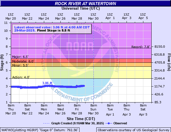
Rock River at Watertown
Critical Stages
4' - Action
5.5' - Flood
6' - Moderate
6.5' - Major
Latest Observation
Updated: 3:00 AM CST 12/7/25
Status: No Flooding
Stage: 1.8 ft
Flow: 0.315 kcfs
Forecast
Forecast not available for this location.
| Time | Stage (ft) | Flow (kcfs) |
|---|---|---|
| 3:00 AM 12/7 | 1.8 | 0.315 |
| 2:55 AM 12/7 | 1.79 | 0.311 |
| 2:50 AM 12/7 | 1.79 | 0.311 |
| 2:45 AM 12/7 | 1.79 | 0.311 |
| 2:40 AM 12/7 | 1.79 | 0.311 |
| 2:35 AM 12/7 | 1.79 | 0.311 |
| 2:30 AM 12/7 | 1.79 | 0.311 |
| 2:25 AM 12/7 | 1.79 | 0.311 |
| 2:20 AM 12/7 | 1.8 | 0.315 |
| 2:15 AM 12/7 | 1.8 | 0.315 |
| 2:10 AM 12/7 | 1.8 | 0.315 |
| 2:05 AM 12/7 | 1.8 | 0.315 |
| 2:00 AM 12/7 | 1.8 | 0.315 |
| 1:55 AM 12/7 | 1.8 | 0.315 |
| 1:50 AM 12/7 | 1.8 | 0.315 |
| 1:45 AM 12/7 | 1.8 | 0.315 |
| 1:40 AM 12/7 | 1.8 | 0.315 |
| 1:35 AM 12/7 | 1.8 | 0.315 |
| 1:30 AM 12/7 | 1.79 | 0.311 |
| 1:25 AM 12/7 | 1.8 | 0.315 |
| 1:20 AM 12/7 | 1.8 | 0.315 |
| 1:15 AM 12/7 | 1.8 | 0.315 |
| 1:10 AM 12/7 | 1.8 | 0.315 |
| 1:05 AM 12/7 | 1.8 | 0.315 |
| 1:00 AM 12/7 | 1.8 | 0.315 |
| 12:55 AM 12/7 | 1.8 | 0.315 |
| 12:50 AM 12/7 | 1.8 | 0.315 |
| 12:45 AM 12/7 | 1.81 | 0.32 |
| 12:40 AM 12/7 | 1.81 | 0.32 |
| 12:35 AM 12/7 | 1.8 | 0.315 |
7' -
Floodwaters affect some streets in Watertown. Riverside Park is flooded. About 6 miles upstream near Ixonia, Wayside park along Highway 16 and Kanow Park are flooded. Rock River Road near Highway 16 is flooded.
6.5' -
Floodwaters affect some streets in Watertown. Water is in Riverside Park. About 6 miles upstream near Ixonia, Wayside park along Highway 16 and Kanow Park is flooded. Rock River Road near Highway 16 is flooded.
6' -
Water nears some streets in Watertown. Water is in Riverside Park in Watertown. About 6 miles upstream near Ixonia, Wayside park on Highway 16, and Kanow Park is flooded. Rock River Road near Highway 16 is flooded.
5.5' -
There is widespread lowland flooding in rural areas around Watertown. About 6 miles upstream near Ixonia, Wayside park along Highway 16 and Kanow Park are flooded and Rock River Road is impacted.
5' -
There is minor lowland flooding in rural areas around Watertown. About 6 miles upstream near Ixonia, Wayside Park along Hwy 16 ais flooded, water impacts Rock River Road and Kanow Park near Highway 16 is flooded.
4' -
There is minor lowland flooding in rural areas around Watertown. Flood waters start to affect Wayside park on Highway 16 as well as Kanow Park on Rock River Road about 6 miles upstream near Ixonia.
| Date | Stage (ft) |
|---|---|
| Jun 13, 2008 | 7.81 |
| Jan 17, 1997 | 6.96 |
| Apr 4, 1959 | 6.32 |
| Apr 18, 2013 | 6.27 |
| Mar 31, 1979 | 6.19 |
| Sep 9, 2018 | 6.17 |
| Jun 12, 2004 | 6.09 |
| Apr 20, 1993 | 6.03 |
| Feb 20, 1994 | 5.95 |
| May 31, 2004 | 5.89 |
| Apr 11, 2008 | 5.89 |
| Aug 17, 2018 | 5.77 |
| Mar 24, 1952 | 5.69 |
| Oct 11, 2019 | 5.62 |
| Jul 22, 2010 | 5.6 |
| Mar 24, 1986 | 5.54 |
| Jun 18, 1996 | 5.51 |
| Oct 5, 1986 | 5.49 |
| Mar 15, 2009 | 5.45 |
| Mar 14, 2019 | 5.42 |
Data provided by the National Weather Service.