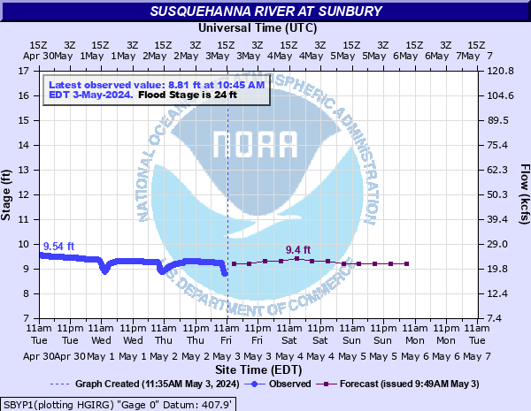
Susquehanna River at Sunbury
Critical Stages
20' - Action
24' - Flood
26' - Moderate
34' - Major
Latest Observation
Updated: 9:45 PM EST 12/14/25
Status: No Flooding
Stage: 6.97 ft
Flow: 7.26 kcfs
Forecast
| Time | Stage (ft) | Flow (kcfs) |
|---|---|---|
| 1 AM 12/15 | 6.6 | 5.7 |
| 7 AM 12/15 | 6.6 | 5.7 |
| 1 PM 12/15 | 6.6 | 5.7 |
| 7 PM 12/15 | 6.6 | 5.7 |
| 1 AM 12/16 | 6.5 | 5.3 |
| 7 AM 12/16 | 6.5 | 5.3 |
| 1 PM 12/16 | 6.5 | 5.3 |
| 7 PM 12/16 | 6.5 | 5.3 |
| 1 AM 12/17 | 6.5 | 5.3 |
| 7 AM 12/17 | 6.5 | 5.3 |
| Time | Stage (ft) | Flow (kcfs) |
|---|---|---|
| 9:45 PM 12/14 | 6.97 | 7.26 |
| 9:30 PM 12/14 | 6.98 | 7.31 |
| 9:15 PM 12/14 | 6.99 | 7.35 |
| 9:00 PM 12/14 | 6.99 | 7.35 |
| 8:47 PM 12/14 | 7 | 7.4 |
| 8:45 PM 12/14 | 7 | 7.4 |
| 8:30 PM 12/14 | 7.01 | 7.44 |
| 8:15 PM 12/14 | 7.01 | 7.44 |
| 8:00 PM 12/14 | 7.01 | 7.44 |
| 7:45 PM 12/14 | 7.01 | 7.44 |
| 7:30 PM 12/14 | 7.02 | 7.49 |
| 7:15 PM 12/14 | 7.01 | 7.44 |
| 7:00 PM 12/14 | 7.01 | 7.44 |
| 6:45 PM 12/14 | 7.01 | 7.44 |
| 6:30 PM 12/14 | 7 | 7.4 |
| 6:15 PM 12/14 | 7 | 7.4 |
| 6:00 PM 12/14 | 6.99 | 7.35 |
| 5:45 PM 12/14 | 6.99 | 7.35 |
| 5:30 PM 12/14 | 6.98 | 7.31 |
| 5:15 PM 12/14 | 6.97 | 7.26 |
| 5:00 PM 12/14 | 6.96 | 7.22 |
| 4:45 PM 12/14 | 6.96 | 7.22 |
| 4:30 PM 12/14 | 6.96 | 7.22 |
| 4:15 PM 12/14 | 6.94 | 7.13 |
| 4:00 PM 12/14 | 6.94 | 7.13 |
| 3:45 PM 12/14 | 6.93 | 7.08 |
| 3:30 PM 12/14 | 6.92 | 7.04 |
| 3:15 PM 12/14 | 6.92 | 7.04 |
| 3:00 PM 12/14 | 6.92 | 7.04 |
| 2:45 PM 12/14 | 6.91 | 7 |
35' -
Widespread catastrophic flooding occurs in areas outside the flood wall and levee system. This is the design height of the flood protection works anround Sunbury.
34' -
Most areas adjacent to the river, which are not protected by the flood wall and levee system, are affected by high water. Catasrophic flooding occurs in some of these areas.
32' -
Widespread flooding occurs in areas not protected by the flood wall and levee system. Many homes and businesses are affected.
30' -
Widespread flooding occurs in areas not protected by the flood wall and levee system. Many homes and businesses are affected.
28' -
Widespread flooding occurs in areas not protected by the flood wall and levee system. Many homes and businesses are affected.
26' -
High water affects a number of homes and businesses in areas not protected by the flood wall and levee system.
24' -
Both banks overflow. Areas not protected by the flood wall and levee system are affected.
22' -
River interests are encouraged to monitor conditions for further rises.
20' -
River interests are encouraged to monitor conditions for further rises. Shikellamy State Park closed due to high water.
| Date | Stage (ft) |
|---|---|
| Jun 24, 1972 | 35.8 |
| Sep 9, 2011 | 31.66 |
| Sep 27, 1975 | 30.62 |
| Sep 19, 2004 | 30.44 |
| Jan 20, 1996 | 30.32 |
| Mar 7, 1979 | 27.52 |
| Jan 1, 1943 | 27.3 |
| Apr 2, 1960 | 27.2 |
| Apr 2, 1993 | 27.03 |
| Feb 16, 1984 | 26.91 |
| Jun 28, 2006 | 26.89 |
| Mar 19, 1936 | 26.85 |
| Nov 27, 1950 | 26.4 |
| Apr 3, 2005 | 26.15 |
| Mar 12, 2011 | 26.03 |
| Mar 14, 1920 | 25.9 |
| Feb 27, 1961 | 25.8 |
| Apr 29, 2011 | 25.58 |
| Mar 7, 1964 | 25 |
| Mar 9, 1956 | 25 |
Data provided by the National Weather Service.