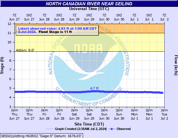
North Canadian River near Seiling
Critical Stages
9' - Action
11' - Flood
13' - Moderate
14' - Major
Latest Observation
Updated: 3:00 AM CST 12/16/25
Status: No Flooding
Stage: 5.07 ft
Flow: 0.102 kcfs
Forecast
Forecast not available for this location.
| Time | Stage (ft) | Flow (kcfs) |
|---|---|---|
| 3:00 AM 12/16 | 5.07 | 0.102 |
| 2:30 AM 12/16 | 5.07 | 0.102 |
| 2:00 AM 12/16 | 5.06 | 0.101 |
| 1:30 AM 12/16 | 5.06 | 0.101 |
| 1:00 AM 12/16 | 5.06 | 0.101 |
| 12:30 AM 12/16 | 5.05 | 0.1 |
| 12:00 AM 12/16 | 5.04 | 0.0993 |
| 11:30 PM 12/15 | 5.04 | 0.0993 |
| 11:00 PM 12/15 | 5.04 | 0.0993 |
| 10:30 PM 12/15 | 5.04 | 0.0993 |
| 10:00 PM 12/15 | 5.02 | 0.0974 |
| 9:30 PM 12/15 | 5.02 | 0.0974 |
| 9:00 PM 12/15 | 5.02 | 0.0974 |
| 8:30 PM 12/15 | 5.03 | 0.0984 |
| 8:00 PM 12/15 | 5.02 | 0.0974 |
| 7:30 PM 12/15 | 5.02 | 0.0974 |
| 7:00 PM 12/15 | 5.02 | 0.0974 |
| 6:30 PM 12/15 | 5.02 | 0.0974 |
| 6:00 PM 12/15 | 5.02 | 0.0974 |
| 5:30 PM 12/15 | 5.02 | 0.0974 |
| 5:00 PM 12/15 | 5.03 | 0.0984 |
| 4:30 PM 12/15 | 5.03 | 0.0984 |
| 4:00 PM 12/15 | 5.03 | 0.0984 |
| 3:30 PM 12/15 | 5.03 | 0.0984 |
| 3:00 PM 12/15 | 5.03 | 0.0984 |
| 2:30 PM 12/15 | 5.04 | 0.0993 |
| 2:00 PM 12/15 | 5.04 | 0.0993 |
| 1:30 PM 12/15 | 5.04 | 0.0993 |
| 1:00 PM 12/15 | 5.04 | 0.0993 |
| 12:30 PM 12/15 | 5.04 | 0.0993 |
17' -
Croplands... pastures... oil wells... and rural roads are flooded. Areas affected extend from the southwest corner of Major County... downstream to the headwaters of Canton Lake in Dewey County. Cattle and other property should be relocated to places which are at least 6 feet higher than nearby river banks... to avoid being flooded or isolated for several hours by water in side channels.
16' -
Croplands... pastures... oil wells... and rural roads are flooded. Areas affected extend from the southwest corner of Major County... downstream to the headwaters of Canton Lake in Dewey County. Cattle and other property should be relocated to places which are at least 5 feet higher than nearby river banks... to avoid being flooded or isolated for several hours by water in side channels.
15' -
Croplands... pastures... oil wells... and rural roads are flooded. Areas affected extend from the southwest corner of Major County... downstream to the headwaters of Canton Lake in Dewey County. Cattle and other property should be relocated to places which are at least 4 feet higher than nearby river banks... to avoid being flooded or isolated for several hours by water in side channels.
14' -
Croplands... pastures... oil wells... and rural roads are flooded. Areas affected extend from the southwest corner of Major County... downstream to the headwaters of Canton Lake in Dewey County. Cattle and other property should be relocated to places which are at least 3 feet higher than nearby river banks... to avoid being flooded or isolated for several hours by water in side channels.
13' -
Croplands... pastures... oil wells... and rural roads are flooded. Areas affected extend from the southwest corner of Major County... downstream to the headwaters of Canton Lake in Dewey County. Cattle and other property should be relocated to places which are at least 2 feet higher than nearby river banks... to avoid being isolated for several hours by water in side channels.
12' -
Croplands... pastures... oil wells... and rural roads are flooded. Areas affected extend from the southwest corner of Major County... downstream to the headwaters of Canton Lake in Dewey County. Cattle and other property should be relocated to places which are at least 1 foot higher than nearby river banks... to avoid being isolated for several hours by water in side channels.
11' -
Croplands... pastures... oil wells... and rural roads are flooded. Areas affected extend from the southwest corner of Major County... downstream to the headwaters of Canton Lake in Dewey County. Cattle and other property should be relocated to places which are higher than nearby river banks... to avoid being isolated for several hours by water in side channels.
10' -
Some croplands... pastures... and rural roads may be flooded. Areas affected extend from the southwest corner of Major County... downstream to the headwaters of Canton Lake in Dewey County. Cattle and other property should be relocated to places which are higher than nearby river banks... to avoid being isolated for several hours by water in side channels.
| Date | Stage (ft) |
|---|---|
| Oct 13, 1923 | 16.4 |
| Oct 11, 1946 | 16 |
| May 19, 1951 | 15.61 |
| Sep 23, 1997 | 14.86 |
| Aug 28, 1974 | 14.28 |
| May 8, 2019 | 13.91 |
| Jun 9, 1995 | 13.8 |
| May 19, 1949 | 13.71 |
| Oct 10, 2018 | 13.69 |
| Nov 3, 1974 | 13.21 |
| May 26, 2019 | 13.12 |
| May 22, 2019 | 13.03 |
| May 27, 1980 | 12.98 |
| Jul 13, 2010 | 12.96 |
| May 9, 1993 | 12.96 |
| Oct 3, 1986 | 12.89 |
| Sep 13, 2008 | 12.78 |
| Aug 4, 1950 | 12.78 |
| Jul 9, 1972 | 12.7 |
| Jun 25, 1957 | 12.48 |
Data provided by the National Weather Service.