« Back to Moosehead Lake Rivers
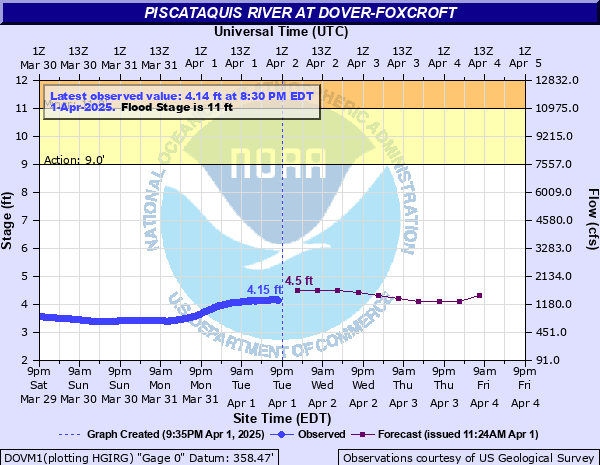
Piscataquis River at Dover-Foxcroft
Critical Stages
9' - Action
11' - Flood
14' - Moderate
18' - Major
Latest Observation
Updated: 12:30 AM EST 12/13/25
Status: No Flooding
Stage: 2.34 ft
Flow: 0.175 kcfs
Forecast
| Time | Stage (ft) | Flow (kcfs) |
|---|---|---|
| 7 AM 12/13 | 2.3 | 0.163 |
| 1 PM 12/13 | 2.3 | 0.163 |
| 7 PM 12/13 | 2.3 | 0.163 |
| 1 AM 12/14 | 2.3 | 0.163 |
| 7 AM 12/14 | 2.3 | 0.163 |
| 1 PM 12/14 | 2.3 | 0.163 |
| 7 PM 12/14 | 2.2 | 0.136 |
| 1 AM 12/15 | 2.2 | 0.136 |
| 7 AM 12/15 | 2.2 | 0.136 |
| Time | Stage (ft) | Flow (kcfs) |
|---|---|---|
| 1:30 AM 12/13 | 2.35 | 0.178 |
| 1:15 AM 12/13 | 2.34 | 0.175 |
| 1:00 AM 12/13 | 2.34 | 0.175 |
| 12:45 AM 12/13 | 2.34 | 0.175 |
| 12:30 AM 12/13 | 2.34 | 0.175 |
| 12:15 AM 12/13 | 2.35 | 0.178 |
| 12:00 AM 12/13 | 2.34 | 0.175 |
| 11:45 PM 12/12 | 2.35 | 0.178 |
| 11:30 PM 12/12 | 2.35 | 0.178 |
| 11:15 PM 12/12 | 2.35 | 0.178 |
| 11:00 PM 12/12 | 2.35 | 0.178 |
| 10:45 PM 12/12 | 2.35 | 0.178 |
| 10:30 PM 12/12 | 2.35 | 0.178 |
| 10:15 PM 12/12 | 2.35 | 0.178 |
| 10:00 PM 12/12 | 2.35 | 0.178 |
| 9:45 PM 12/12 | 2.35 | 0.178 |
| 9:30 PM 12/12 | 2.35 | 0.178 |
| 9:15 PM 12/12 | 2.35 | 0.178 |
| 9:00 PM 12/12 | 2.35 | 0.178 |
| 8:45 PM 12/12 | 2.35 | 0.178 |
| 8:30 PM 12/12 | 2.35 | 0.178 |
| 8:15 PM 12/12 | 2.35 | 0.178 |
| 8:00 PM 12/12 | 2.35 | 0.178 |
| 7:45 PM 12/12 | 2.35 | 0.178 |
| 7:30 PM 12/12 | 2.35 | 0.178 |
| 7:15 PM 12/12 | 2.35 | 0.178 |
| 7:00 PM 12/12 | 2.35 | 0.178 |
| 6:45 PM 12/12 | 2.36 | 0.181 |
| 6:30 PM 12/12 | 2.36 | 0.181 |
| 6:15 PM 12/12 | 2.36 | 0.181 |
22' -
Flood inundation near the FEMA 0.2 percent flood hazard level. This is a serious and potentially life threatening flood situation, near or exceeding flood levels seen during the historic 1987 Flood.
19' -
In Guilford, Route 6 is inaccessible in multiple locations in the east and western parts of town. Properties on the eastern end of River Street flooded in Dover-Foxcroft.
18' -
Flood inundation near the FEMA 1 percent flood hazard level. Travel in and out of the area is difficult.
17' -
Flooding reaches School Street in Guilford and State Route 15 in Dover-Foxcroft. Fast moving water inundates South Street and low lying properties along East Main Street.
15' -
In Dover-Foxcroft, flood waters reach South Street at the intersection of Pine and Lawrence Streets. In Guilford, water reaches lower portions of Main Street and Water Street.
13.5' -
In Dover-Foxcroft, flood waters reach the low section of Pine Street near the intersection of South Street. Parking lot and recreational field off of Moosehead Lane inundated. Backyards of properties on Grange, Greene, and Riverside Ave flooded. In Guilford, properties south of Water Street along Old Railroad Grade and River Street are surrounded by floodwaters.
12' -
Basement flooding is possible in several properties in Dover-Foxcroft.
11' -
Back Road in Abbot flooded. Floodwaters encroach on Guilford Recreational Fields.
9' -
River approaches bankfull.
| Date | Stage (ft) |
|---|---|
| Apr 1, 1987 | 22.62 |
| Nov 4, 1966 | 17.89 |
| Apr 29, 1923 | 17.67 |
| Dec 19, 2023 | 16.77 |
| Apr 28, 1979 | 16.15 |
| Dec 22, 1973 | 16.09 |
| Mar 13, 1936 | 15.98 |
| Apr 18, 1983 | 15.92 |
| Mar 20, 1936 | 15.84 |
| Nov 27, 1950 | 15.16 |
| Sep 29, 1909 | 14.93 |
| Dec 18, 1973 | 14.01 |
| Mar 28, 1953 | 13.98 |
| Apr 30, 2008 | 13.55 |
| Sep 17, 1932 | 13.5 |
| Jun 18, 1917 | 13.5 |
| Nov 9, 1963 | 13.33 |
| Apr 25, 1983 | 13.31 |
| Jan 26, 2010 | 13.26 |
| Dec 26, 2020 | 13.25 |
Data provided by the National Weather Service.