« Back to Mount Pleasant Rivers
Muskegon River at Evart
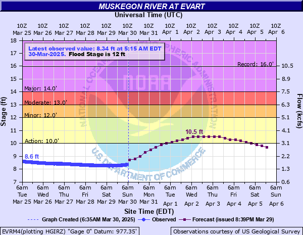
Critical Stages
10' - Action
12' - Flood
13' - Moderate
14' - Major
Latest Observation
Updated: 2:15 PM EST 12/10/25
Status: No Flooding
Stage: 6.54 ft
Flow: 0.336 kcfs
Forecast
Forecast not available for this location.
| Time | Stage (ft) | Flow (kcfs) |
|---|---|---|
| 2:15 PM 12/10 | 6.54 | 0.336 |
| 2:00 PM 12/10 | 6.55 | 0.339 |
| 1:45 PM 12/10 | 6.56 | 0.344 |
| 1:30 PM 12/10 | 6.56 | 0.344 |
| 1:15 PM 12/10 | 6.56 | 0.344 |
| 1:00 PM 12/10 | 6.56 | 0.344 |
| 12:45 PM 12/10 | 6.56 | 0.344 |
| 12:30 PM 12/10 | 6.56 | 0.344 |
| 12:15 PM 12/10 | 6.55 | 0.339 |
| 12:00 PM 12/10 | 6.56 | 0.344 |
| 11:45 AM 12/10 | 6.56 | 0.344 |
| 11:30 AM 12/10 | 6.57 | 0.348 |
| 11:15 AM 12/10 | 6.57 | 0.348 |
| 11:00 AM 12/10 | 6.57 | 0.348 |
| 10:45 AM 12/10 | 6.57 | 0.348 |
| 10:30 AM 12/10 | 6.58 | 0.352 |
| 10:15 AM 12/10 | 6.58 | 0.352 |
| 10:00 AM 12/10 | 6.58 | 0.352 |
| 9:45 AM 12/10 | 6.58 | 0.352 |
| 9:30 AM 12/10 | 6.58 | 0.352 |
| 9:15 AM 12/10 | 6.58 | 0.352 |
| 9:00 AM 12/10 | 6.58 | 0.352 |
| 8:45 AM 12/10 | 6.58 | 0.352 |
| 8:30 AM 12/10 | 6.58 | 0.352 |
| 8:15 AM 12/10 | 6.57 | 0.348 |
| 8:00 AM 12/10 | 6.57 | 0.348 |
| 7:45 AM 12/10 | 6.57 | 0.348 |
| 7:30 AM 12/10 | 6.56 | 0.344 |
| 7:15 AM 12/10 | 6.56 | 0.344 |
| 7:00 AM 12/10 | 6.57 | 0.348 |
14.5' -
High water affects the Sewage Treatment Plant.
14' -
Expect major flooding in subdivisions along the Muskegon River upstream of Evart.
12.5' -
Expect significant flooding in the area of M66 and 9 mile, impacting homes in the Jefferies, Doc and Tom, Timberlane Drive and Wildlife Shores subdivisions. Roads become un-navigable in the Jefferies, Doc and Tom, and Wildlife Shores subdivisions. Evacuation of homes in the flooded area may be necessary. Significant Road closures along River Road between 80th Avenue and M66. Flooding of homes in low lying areas along River Road between 80th Avenue and M66 also occurs.
12' -
Expect significant flooding in the area of M66 and 9 mile, impacting homes in the Jefferies, Doc and Tom, and Wildlife Shores subdivisions. Minor flooding of homes in low lying areas along Timberlane Drive, and River Road between 80th Avenue and M66 also occurs. High water levels also begin to impact the Evart Water Treatment Plant.
11.5' -
Expect minor flooding of low lying areas upstream of Evart. In the Jeffery subdivision, flooding begins to surround and impact crawl spaces of over a dozen homes along Linden Road, Riverside Road, and Muskegon Trail. Trout Road is under water and high water surrounds homes in the Doc and Tom subdivision along Trout Drive and Miller Road.
11' -
Over a dozen homes are surrounded by water in the Jeffery subdivision. Portions of Linden Road, Riverside Road, and Muskegon Trail begin to be covered by water. High water also begins to surround several homes in the Doc and Tom subdivision along Trout Road which is located off of 9 mile road, east of M66.
10.5' -
Flood waters begin to surround homes upstream of Evart in the Jeffery subdivision along Linden and Riverside Roads. Portions of Linden and Riverside Roads in the Jeffery subdivision begin to go underwater. High water also begins to cover Trout Drive in the Doc and Tom subdivision located just east of M66 off of 9 Mile Road.
10' -
River is bankfull.
| Date | Stage (ft) |
|---|---|
| Apr 16, 2014 | 15.97 |
| Mar 31, 1989 | 14.99 |
| Apr 9, 1959 | 14.42 |
| Apr 15, 1971 | 14.37 |
| Jul 12, 1957 | 14.13 |
| Mar 29, 1976 | 14.07 |
| Jun 3, 1945 | 13.68 |
| Mar 31, 1943 | 13.3 |
| Apr 15, 1965 | 13.07 |
| May 22, 2020 | 13.05 |
| Mar 18, 1946 | 13 |
| Apr 30, 2011 | 12.96 |
| Mar 22, 1948 | 12.86 |
| Nov 1, 1991 | 12.6 |
| Apr 20, 2013 | 12.52 |
| Apr 12, 1947 | 12.46 |
| Apr 1, 1962 | 12.28 |
| Apr 4, 1952 | 12.28 |
| Mar 29, 1986 | 12.15 |
| Mar 26, 1938 | 12.12 |
Data provided by the National Weather Service.