« Back to Mount Pleasant Rivers
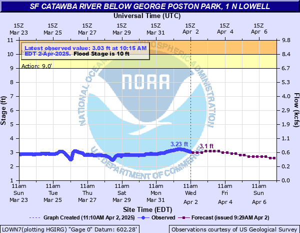
SF Catawba River below George Poston Park, 1 N Lowell
Critical Stages
9' - Action
10' - Flood
13' - Moderate
15.5' - Major
Latest Observation
Updated: 8:15 PM EST 12/8/25
Status: No Flooding
Stage: 2.53 ft
Flow: 0.411 kcfs
Forecast
| Time | Stage (ft) | Flow (kcfs) |
|---|---|---|
| 1 AM 12/9 | 2.5 | 0.4 |
| 7 AM 12/9 | 2.5 | 0.4 |
| 1 PM 12/9 | 2.5 | 0.4 |
| 7 PM 12/9 | 2.5 | 0.4 |
| 1 AM 12/10 | 2.5 | 0.4 |
| 7 AM 12/10 | 2.5 | 0.4 |
| 1 PM 12/10 | 2.4 | 0.363 |
| 7 PM 12/10 | 2.4 | 0.363 |
| 1 AM 12/11 | 2.4 | 0.363 |
| 7 AM 12/11 | 2.4 | 0.363 |
| 1 PM 12/11 | 2.4 | 0.363 |
| 7 PM 12/11 | 2.4 | 0.363 |
| 1 AM 12/12 | 2.4 | 0.363 |
| 7 AM 12/12 | 2.4 | 0.363 |
| 1 PM 12/12 | 2.4 | 0.363 |
| 7 PM 12/12 | 2.4 | 0.363 |
| 1 AM 12/13 | 2.4 | 0.363 |
| 7 AM 12/13 | 2.4 | 0.363 |
| Time | Stage (ft) | Flow (kcfs) |
|---|---|---|
| 9:15 PM 12/8 | 2.56 | 0.423 |
| 9:00 PM 12/8 | 2.57 | 0.426 |
| 8:45 PM 12/8 | 2.54 | 0.415 |
| 8:30 PM 12/8 | 2.54 | 0.415 |
| 8:15 PM 12/8 | 2.53 | 0.411 |
| 8:00 PM 12/8 | 2.55 | 0.419 |
| 7:45 PM 12/8 | 2.55 | 0.419 |
| 7:30 PM 12/8 | 2.56 | 0.423 |
| 7:15 PM 12/8 | 2.54 | 0.415 |
| 7:00 PM 12/8 | 2.54 | 0.415 |
| 6:45 PM 12/8 | 2.55 | 0.419 |
| 6:30 PM 12/8 | 2.58 | 0.43 |
| 6:15 PM 12/8 | 2.56 | 0.423 |
| 6:00 PM 12/8 | 2.56 | 0.423 |
| 5:45 PM 12/8 | 2.56 | 0.423 |
| 5:30 PM 12/8 | 2.55 | 0.419 |
| 5:15 PM 12/8 | 2.57 | 0.426 |
| 5:00 PM 12/8 | 2.54 | 0.415 |
| 4:45 PM 12/8 | 2.56 | 0.423 |
| 4:30 PM 12/8 | 2.54 | 0.415 |
| 4:15 PM 12/8 | 2.54 | 0.415 |
| 4:00 PM 12/8 | 2.54 | 0.415 |
| 3:45 PM 12/8 | 2.54 | 0.415 |
| 3:30 PM 12/8 | 2.57 | 0.426 |
| 3:15 PM 12/8 | 2.58 | 0.43 |
| 3:00 PM 12/8 | 2.54 | 0.415 |
| 2:45 PM 12/8 | 2.56 | 0.423 |
| 2:30 PM 12/8 | 2.56 | 0.423 |
| 2:15 PM 12/8 | 2.55 | 0.419 |
| 2:00 PM 12/8 | 2.57 | 0.426 |
17' -
Major, devastating flooding of the town of Cramerton is ongoing.
16.5' -
Major Flooding continues. Several roads adjacent to the South Fork Catawba River in Cramerton and McAdenville may be inundated. Significant flooding of homes and businesses along the river may be ongoing. Additionally, floodwaters may be inundating parts of Lakeview Dr. in McAdenville and and Catawba Run in Lowell. Floodwaters may be impacting the Willow Rd. water treatment plant in McAdenville.
15.5' -
Major Flood Stage. South Fork Catawba River floodwaters may be inundating the Cramerton Fire Department, Cramerton Drug Store, the former South Fork Masonic Lodge building, and adjacent homes and businesses along 8th Ave. Floodwaters may be flooding the lowest elevations of the Cramerton Police Department parking lot. Flooding of Duharts Creek may be impacting adjacent sections of Mayflower Rd., and Cramer Mountain Rd. may be inundated with several inches of water.
13' -
Moderate Flood Stage. Unusual, damaging flooding is developing adjacent to the South Fork Catawba River with considerable impacts to property. Significant flooding of Goat Island Park and Riverside Park is ongoing. Floodwaters are threatening the Cramerton Fire Department and adjacent businesses. The river is approaching the crawl spaces of homes along Riverside Dr between 4th St and 5th St in Cramerton.
12' -
Minor Flooding continues. South Fork Catawba River floodwaters may approach the Cramerton Fire Department building at the intersection 8th Ave and 9th St. The parking lot behind the adjacent Cramerton Drug Company may be flooded. Floodwaters may approach one home along Riverside Dr. in Cramerton.
11.5' -
Minor Flooding continues. The South Fork Catawba River is likely inundating Riverside Dr. between 5th and 6th Streets in Cramerton with several inches of water. The pumping station at Pharr Yarns in McAdenville may begin to flood.
11' -
Minor Flood Stage continues. The South Fork Catawba River may begin flooding Riverside Dr. between 5th and 6th Streets in Cramerton. Floodwaters may also approach residential yards along Catawba Run Rd., near the streamgauge. Hoyle Creek floodwaters, possibly due to backwater effects from the South Fork Catawba River, may begin to impact the Old Willis School Road bridge near Sandcastle Rd.
10' -
Minor Flood Stage. South Fork Catawba River floodwaters are beginning to inundate Goat Island Park. More significant inundation is beginning to occur at Riverside Park. Floodwaters are approaching Riverside Dr near 5th and 6th Streets in Cramerton.
9' -
Action/Advisory Stage. South Fork Catawba River floodwaters begin to enter Riverside Park in Cramerton.
| Date | Stage (ft) |
|---|---|
| Aug 15, 1940 | 21.33 |
| Jul 29, 2013 | 17.5 |
| Aug 11, 1970 | 17.38 |
| Sep 19, 1945 | 16.98 |
| Feb 7, 2020 | 16.22 |
| Mar 21, 2003 | 15.88 |
| Mar 2, 1987 | 15.72 |
| Sep 28, 2024 | 15.43 |
| Mar 4, 1952 | 15.3 |
| Jan 10, 2024 | 15.14 |
| Oct 17, 1964 | 14.2 |
| Jun 10, 2019 | 14.1 |
| Nov 20, 1957 | 13.36 |
| Jan 23, 1954 | 13.32 |
| Feb 17, 1995 | 13.12 |
| Apr 29, 1958 | 13.05 |
| Apr 29, 1997 | 12.97 |
| Oct 9, 2005 | 12.96 |
| Feb 11, 1946 | 12.95 |
| Jul 10, 1943 | 12.88 |
Data provided by the National Weather Service.