« Back to Mountain View Rivers
Washita River near Carnegie
Critical Stages
23' - Action
25' - Flood
27' - Moderate
29' - Major
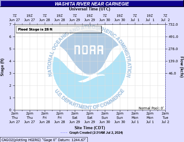
Latest Observation
Updated: 6:09 PM LMT 12/31/00
Status: Obs Not Current
Stage: -999 ft
Flow: -999 kcfs
Forecast
Forecast not available for this location.
Observation history not available.
33' -
Look for near-total flood plain coverage along the Washita River valley in eastern Washita and western Caddo counties. Some farm levees are overtopped several hours before the time of crest near Carnegie. More than sixty-five hundred acres of farm lands are covered by flood depths to about 8 feet... and will be the highest water levels since flood control began at Foss Dam. Local highways are blocked... isolating rural communities and many farmsteads.
32' -
Look for near-total flood plain coverage along the Washita River valley in eastern Washita and western Caddo counties. Some farm levees are overtopped several hours before the time of crest near Carnegie. Nearly sixty-five hundred acres of farm lands are covered by flood depths to about 7 feet... and will be the highest water levels since flood control began at Foss Dam. Local highways are blocked... isolating rural communities and many farmsteads.
31' -
Look for near-total flood plain coverage along the Washita River valley in eastern Washita and western Caddo counties. Some farm levees are overtopped several hours before the time of crest near Carnegie. About six thousand acres of farm lands are covered by flood depths to about 6 feet... and will be the highest water levels since flood control began at Foss Dam. Local highways are blocked... isolating rural communities and many farmsteads.
30' -
Look for wide flood plain coverage along the Washita River valley in eastern Washita and western Caddo counties. Some farm levees are overtopped hours before the time of crest near Carnegie. More than five thousand acres of farm lands are covered by flood depths to about 5 feet... and will be the highest water levels observed since flood control began at Foss Dam. local highways may be blocked... isolating some rural communities and many farmsteads.
29' -
Look for wide flood plain coverage along the Washita River valley in eastern Washita and western Caddo counties. Some farm levees are overtopped hours before the time of crest near Carnegie. More than four thousand acres of farm land are coveredby flood depths to about 4 feet. Local highways may be blocked... isolating some rural communities and many farmsteads.
28' -
Look for wide flooding along the Washita River valley in eastern Washita and western Caddo counties. Some farm levees are overtopped hours before the time of crest near Carnegie. About four thousand acres of farm land are covered by flood depths up to about 3 feet. Local highways may be blocked... isolating a few rural communities and farmsteads.
27' -
Look for flooding of croplands and pastures along the Washita River valley in eastern Washita and western Caddo counties. Some farm levees are overtopped hours before the time of crest near Carnegie. More than three thousand acres of farm land are covered by flood depths up to about 2 feet. Local roads may be overtopped... isolating a few farmsteads.
26' -
Flooding will cover nearly fifteen hundred acres of non-leveed farm lands along the Washita River valley in eastern Washita and western Caddo counties. Overflow depths average about a foot or more. Weaker portions of local levees may be breached. High water in cutoff channels and tributary streams will isolate some low-lying areas for several hours.
25' -
Shallow flooding will reach about a thousand acres of non-leveed farm lands along the Washita River valley in eastern Washita and western Caddo counties. Weaker portions of local levees may be overtopped. Deeper water in cutoff channels and tributary streams will isolate some low-lying fields for a few hours.
24' -
Near bankfull conditions occur along the Washita River in eastern Washita and western Caddo counties. High water in cutoff channels and tributary streams could isolate some low-lying fields for a few hours.
23' -
Near bankfull conditions occur along the Washita River in eastern Washita and western Caddo counties. High water in cutoff channels and tributary streams could isolate some low-lying fields for a few hours.
| Date | Stage (ft) |
|---|---|
| Oct 20, 1983 | 31.7 |
| Jun 5, 1995 | 31.5 |
| May 18, 1949 | 31.21 |
| May 10, 1993 | 31.14 |
| Aug 19, 2007 | 30.81 |
| May 18, 1951 | 30.5 |
| May 27, 2019 | 29.87 |
| May 25, 2015 | 29.61 |
| Oct 5, 1986 | 29.57 |
| May 29, 1987 | 29.23 |
| Oct 5, 1955 | 29.04 |
| Sep 30, 1986 | 28.61 |
| Sep 22, 1965 | 28.47 |
| May 22, 1977 | 27.77 |
| Jun 14, 1944 | 27.74 |
| Jun 14, 1989 | 27.51 |
| Oct 23, 1986 | 27.51 |
| May 21, 1982 | 27.45 |
| Jun 4, 1949 | 27.31 |
| May 17, 1947 | 27.2 |
Data provided by the National Weather Service.