« Back to Mountain View Rivers
North Fork of the Red River near Headrick
Critical Stages
12' - Action
14' - Flood
16' - Moderate
19' - Major
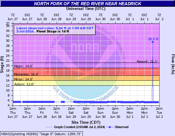
Latest Observation
Updated: 10:00 PM CST 12/14/25
Status: No Flooding
Stage: 5.43 ft
Flow: 0.0113 kcfs
Forecast
Forecast not available for this location.
| Time | Stage (ft) | Flow (kcfs) |
|---|---|---|
| 10:00 PM 12/14 | 5.43 | 0.0113 |
| 9:30 PM 12/14 | 5.43 | 0.0113 |
| 9:00 PM 12/14 | 5.44 | 0.012 |
| 8:30 PM 12/14 | 5.43 | 0.0113 |
| 8:00 PM 12/14 | 5.43 | 0.0113 |
| 7:30 PM 12/14 | 5.43 | 0.0113 |
| 7:00 PM 12/14 | 5.43 | 0.0113 |
| 6:30 PM 12/14 | 5.43 | 0.0113 |
| 6:00 PM 12/14 | 5.43 | 0.0113 |
| 5:30 PM 12/14 | 5.43 | 0.0113 |
| 5:00 PM 12/14 | 5.43 | 0.0113 |
| 4:30 PM 12/14 | 5.42 | 0.0106 |
| 4:00 PM 12/14 | 5.43 | 0.0113 |
| 3:30 PM 12/14 | 5.43 | 0.0113 |
| 3:00 PM 12/14 | 5.43 | 0.0113 |
| 2:30 PM 12/14 | 5.43 | 0.0113 |
| 2:00 PM 12/14 | 5.43 | 0.0113 |
| 1:30 PM 12/14 | 5.43 | 0.0113 |
| 1:00 PM 12/14 | 5.44 | 0.012 |
| 12:30 PM 12/14 | 5.44 | 0.012 |
| 12:00 PM 12/14 | 5.44 | 0.012 |
| 11:30 AM 12/14 | 5.44 | 0.012 |
| 11:00 AM 12/14 | 5.42 | 0.0106 |
| 10:30 AM 12/14 | 5.45 | 0.0124 |
| 10:00 AM 12/14 | 5.44 | 0.012 |
| 9:30 AM 12/14 | 5.44 | 0.012 |
| 9:00 AM 12/14 | 5.44 | 0.012 |
| 8:30 AM 12/14 | 5.44 | 0.012 |
| 8:00 AM 12/14 | 5.44 | 0.012 |
| 7:30 AM 12/14 | 5.44 | 0.012 |
22' -
Significant...widespread flooding with dangerous currents and depths up to 8 feet occurs along the river in Kiowa... Jackson... and Tillman counties. Prolonged isolation of some agricultural lands and rural roads also occurs. Upstream points in Kiowa County may see flooding several hours before the crest reaches the Headrick area. The flood crest reaches downstream points near Tipton much later.
21' -
Significant...widespread flooding with dangerous currents and depths up to 7 feet occurs along the river in Kiowa... Jackson... and Tillman counties. Prolonged isolation of some agricultural lands and rural roads also occurs. Upstream points in Kiowa County may see flooding several hours before the crest reaches the Headrick area. The flood crest reaches downstream points near Tipton much later.
20' -
Significant...widespread flooding with dangerous currents and depths up to 6 feet occurs along the river in Kiowa... Jackson... and Tillman counties. Prolonged isolation of some agricultural lands and rural roads also occurs. Upstream points in Kiowa County may see flooding several hours before the crest reaches the Headrick area. The flood crest reaches downstream points near Tipton much later.
19' -
Flooding to depths of 5 feet or isolation of agricultural lands and rural roads occurs in Kiowa... Jackson... and Tillman counties. Upstream points in Kiowa County may see flooding several hours before the crest reaches the Headrick area. The flood crest reaches downstream points near Tipton much later. Flood depths approach 5 feet over some areas along the river.
18' -
Flooding or isolation of agricultural lands and rural roads occurs in Kiowa... Jackson... and Tillman counties. Upstream points in Kiowa County may see flooding several hours before the crest reaches the Headrick area. The flood crest reaches downstream points near Tipton much later. Flood depths approach 4 feet over some areas along the river.
17' -
Flooding or isolation of agricultural lands and rural roads occurs in Kiowa... Jackson... and Tillman counties. Upstream points in Kiowa County may see flooding several hours before the crest reaches the Headrick area. The flood crest reaches downstream points near Tipton much later. Flood depths approach 3 feet over some areas along the river.
16' -
Flooding or isolation of agricultural lands and rural roads occurs in Kiowa... Jackson... and Tillman counties. Upstream points in Kiowa County may see flooding several hours before the crest reaches the Headrick area. The flood crest reaches downstream points near Tipton much later. Flood depths approach 2 feet over some areas along the river.
15' -
Flooding or isolation of agricultural lands and rural roads occurs in Kiowa... Jackson... and Tillman counties. Upstream points in Kiowa County may see flooding several hours before the crest reaches the Headrick area. The flood crest reaches downstream points near Tipton much later. Flood depths approach 1 foot over some areas along the river.
14' -
Shallow flooding or isolation of agricultural lands and rural roads occurs in Kiowa... Jackson... and Tillman counties. Upstream points in Kiowa County may see flooding several hours before the crest reaches the Headrick area. The flood crest reaches downstream points near Tipton much later.
13' -
Near bankfull stages or higher occur along the river occur in Kiowa... Jackson... and Tillman counties. Upstream points in Kiowa County may see high stages several hours before the crest reaches the Headrick area. The crest reaches downstream points near Tipton much later.
12' -
The river remains within its banks in Kiowa... Jackson... and Tillman counties.
| Date | Stage (ft) |
|---|---|
| May 27, 2019 | 21.13 |
| May 10, 2019 | 20.43 |
| May 18, 1935 | 19.8 |
| Oct 4, 1986 | 19.07 |
| May 26, 2015 | 19.05 |
| Oct 10, 2018 | 18.86 |
| May 10, 1993 | 18.85 |
| Jun 16, 2015 | 18.47 |
| Apr 24, 2019 | 18.42 |
| Jun 5, 1995 | 17.49 |
| Oct 21, 1983 | 17.27 |
| May 28, 1977 | 17.26 |
| May 21, 2015 | 17.25 |
| Jul 6, 2010 | 17.23 |
| May 22, 2019 | 17.01 |
| Jun 15, 2007 | 16.87 |
| Aug 27, 2017 | 16.64 |
| May 10, 2015 | 16.5 |
| Oct 5, 1955 | 16.5 |
| Apr 27, 1997 | 15.88 |
Data provided by the National Weather Service.