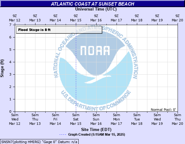
Atlantic Coast at Sunset Beach
Critical Stages
7.5' - Action
8' - Flood
9' - Moderate
11' - Major
Latest Observation
Updated: 7:03 PM LMT 12/31/00
Status: Obs Not Current
Stage: -999 ft
Flow: -999 kcfs
Forecast
Forecast not available for this location.
Observation history not available.
11' -
Life threatening, and widespread coastal flooding is expected with significant damage to coastal structures and roadways. Water may enter beachfront structures not elevated on pilings. Nearly all waterfront and coastal access roads will be closed, possibly for an extended period of time. Significant inundation of coastal, bayside, sound-side tributaries and tidal creeks is likely.
9' -
On the Brunswick County coast, vulnerable areas include several neighborhoods off of Bald Head Rd, portions of Ocean Dr. in the Old Yaupon area, portions of East and West Beach Dr. in Long Beach, and portions of Dolphin Drive east of Middleton Ave in Long Beach. High astronomical tides along with heavy rainfall can create flooding along Ocean Blvd. in Holden Beach. In Sunset Beach, one mile inland on Clubhouse Rd. near Calabash Creek Bridge can flood with high astronomical tides and heavy rain.
8' -
Minor coastal flooding affects the southern shore of Bald Head Island along Bald Head Road, and the east end of Ocean Isle Beach. Minor flooding can also occur on roadways near tidal marshes and creeks.
7.5' -
Minor flooding of the prone low-lying coastal locations possible if accompanied by other factors, such as persistent onshore wind and wave action.
| Date | Stage (ft) |
|---|---|
| Oct 15, 1954 | 18 |
| Oct 9, 2006 | 7.55 |
| Oct 8, 2006 | 7.43 |
| Nov 7, 2006 | 7.36 |
| Feb 28, 2005 | 7.36 |
| Jun 13, 2007 | 7.29 |
| Oct 15, 2005 | 7.28 |
| Dec 25, 2006 | 7.28 |
| Sep 7, 2006 | 7.22 |
| Jun 14, 2007 | 7.2 |
| Jun 16, 2007 | 7.14 |
Data provided by the National Weather Service.