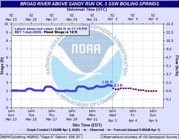
Broad River above Sandy Run Ck, 3 SSW Boiling Springs
Critical Stages
10' - Action
12' - Flood
14' - Moderate
20' - Major
Latest Observation
Updated: 9:15 AM EST 12/6/25
Status: No Flooding
Stage: 1.95 ft
Flow: 0.64 kcfs
Forecast
| Time | Stage (ft) | Flow (kcfs) |
|---|---|---|
| 1 PM 12/6 | 2 | 0.687 |
| 7 PM 12/6 | 2 | 0.687 |
| 1 AM 12/7 | 1.9 | 0.595 |
| 7 AM 12/7 | 1.9 | 0.595 |
| 1 PM 12/7 | 1.9 | 0.595 |
| 7 PM 12/7 | 1.9 | 0.595 |
| 1 AM 12/8 | 1.9 | 0.595 |
| 7 AM 12/8 | 1.9 | 0.595 |
| 1 PM 12/8 | 1.8 | 0.512 |
| 7 PM 12/8 | 1.8 | 0.512 |
| 1 AM 12/9 | 1.8 | 0.512 |
| 7 AM 12/9 | 1.8 | 0.512 |
| 1 PM 12/9 | 1.8 | 0.512 |
| 7 PM 12/9 | 1.8 | 0.512 |
| 1 AM 12/10 | 1.8 | 0.512 |
| 7 AM 12/10 | 1.8 | 0.512 |
| Time | Stage (ft) | Flow (kcfs) |
|---|---|---|
| 10:15 AM 12/6 | 1.95 | 0.64 |
| 10:00 AM 12/6 | 1.94 | 0.631 |
| 9:45 AM 12/6 | 1.94 | 0.631 |
| 9:30 AM 12/6 | 1.94 | 0.631 |
| 9:15 AM 12/6 | 1.95 | 0.64 |
| 9:00 AM 12/6 | 1.95 | 0.64 |
| 8:45 AM 12/6 | 1.95 | 0.64 |
| 8:30 AM 12/6 | 1.95 | 0.64 |
| 8:15 AM 12/6 | 1.95 | 0.64 |
| 8:00 AM 12/6 | 1.93 | 0.622 |
| 7:45 AM 12/6 | 1.94 | 0.631 |
| 7:30 AM 12/6 | 1.93 | 0.622 |
| 7:15 AM 12/6 | 1.94 | 0.631 |
| 7:00 AM 12/6 | 1.93 | 0.622 |
| 6:45 AM 12/6 | 1.93 | 0.622 |
| 6:30 AM 12/6 | 1.94 | 0.631 |
| 6:15 AM 12/6 | 1.94 | 0.631 |
| 6:00 AM 12/6 | 1.94 | 0.631 |
| 5:45 AM 12/6 | 1.95 | 0.64 |
| 5:30 AM 12/6 | 1.95 | 0.64 |
| 5:15 AM 12/6 | 1.93 | 0.622 |
| 5:00 AM 12/6 | 1.94 | 0.631 |
| 4:45 AM 12/6 | 1.95 | 0.64 |
| 4:30 AM 12/6 | 1.93 | 0.622 |
| 4:15 AM 12/6 | 1.95 | 0.64 |
| 4:00 AM 12/6 | 1.93 | 0.622 |
| 3:45 AM 12/6 | 1.94 | 0.631 |
| 3:30 AM 12/6 | 1.94 | 0.631 |
| 3:15 AM 12/6 | 1.94 | 0.631 |
| 3:00 AM 12/6 | 1.94 | 0.631 |
24.3' -
Record Flood Stage. The Broad River has reached the maximum level of record, last achieved on August 16th, 1928.
20' -
Major Flood Stage. The Broad River has reached levels similar to those seen in August 1940. Devastating flooding of numerous homes near the river within the Abe's Mountain vicinity is likely underway. Significant and record-level floodwaters are inundating lower elevation trails and picnic areas of the Broad River Greenway.
17.5' -
Moderate Flooding continues. The Broad River is approaching levels similar to levels reached on September 9th, 2004 during Hurricane Frances. First-floor flooding of several homes between Abe's Mountain Rd. and the river is possible with residents likely evacuated. Significant floodwaters are inundating lower elevation trails and picnic areas of the Broad River Greenway.
16' -
Moderate Flooding continues. The Broad River may begin inundating the first floor of several homes between Abe's Mountain Rd. and the river, including homes located along Waterway Dr. Evacuations may be underway.
15' -
Moderate Flooding continues. Precautionary evacuations may be underway for residents within the Abe's Mountain vicinity, including perhaps residents along Whelchel Rd. and the Number 1 Township area as floodwaters approach the first floor of several homes. Backwater effects may be causing additional flooding along smaller tributaries.
14' -
Moderate Flood Stage. Broad River floodwaters may be inundating the foundations of homes located between Abe's Mountain Rd. and the river and threatening residential first floors. Low-lying roads near the vicinity of Abe's Mountain may be inundated by floodwaters. The Broad River Greenway is experiencing flooding of low-elevation trails and picnic areas along the river. Floodwaters may be impacting local campgrounds near the river as well.
12' -
Minor Flood Stage. Broad River floodwaters may be approaching the base of residential home foundations between Abe's Mountain Rd. and the river.
10' -
Action Stage. The Broad River is beginning to flood residential yards located off of Abe's Mountain Rd.
| Date | Stage (ft) |
|---|---|
| Aug 16, 1928 | 24.3 |
| Sep 28, 2024 | 23.43 |
| Aug 14, 1940 | 22.1 |
| Feb 7, 2020 | 18.23 |
| Oct 5, 1964 | 18.23 |
| Sep 9, 2004 | 17.48 |
| Oct 9, 1976 | 17.39 |
| Oct 2, 1929 | 17.25 |
| Mar 15, 1975 | 16.15 |
| Oct 7, 2005 | 15.54 |
| Jan 9, 2024 | 15.28 |
| Oct 16, 1964 | 15.23 |
| Mar 20, 2003 | 15 |
| Mar 1, 1987 | 14.96 |
| Oct 17, 1936 | 14.85 |
| May 6, 2013 | 14.78 |
| Apr 4, 1936 | 14.75 |
| Jan 15, 1995 | 14.61 |
| Jan 12, 1990 | 14.57 |
| Jul 8, 2005 | 14.03 |
Data provided by the National Weather Service.