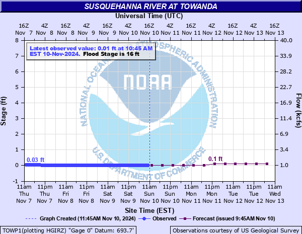
Susquehanna River at Towanda
Critical Stages
14' - Action
16' - Flood
18' - Moderate
25.1' - Major
Latest Observation
Updated: 9:45 AM EST 12/6/25
Status: No Flooding
Stage: 1.49 ft
Flow: 5.14 kcfs
Forecast
| Time | Stage (ft) | Flow (kcfs) |
|---|---|---|
| 1 PM 12/6 | 1.5 | 5.18 |
| 7 PM 12/6 | 1.5 | 5.18 |
| 1 AM 12/7 | 1.4 | 4.83 |
| 7 AM 12/7 | 1.4 | 4.83 |
| 1 PM 12/7 | 1.4 | 4.83 |
| 7 PM 12/7 | 1.3 | 4.5 |
| 1 AM 12/8 | 1.3 | 4.5 |
| 7 AM 12/8 | 1.3 | 4.5 |
| 1 PM 12/8 | 1.3 | 4.5 |
| 7 PM 12/8 | 1.3 | 4.5 |
| 1 AM 12/9 | 1.2 | 4.17 |
| 7 AM 12/9 | 1.2 | 4.17 |
| Time | Stage (ft) | Flow (kcfs) |
|---|---|---|
| 9:45 AM 12/6 | 1.49 | 5.14 |
| 9:30 AM 12/6 | 1.49 | 5.14 |
| 9:15 AM 12/6 | 1.49 | 5.14 |
| 9:00 AM 12/6 | 1.5 | 5.18 |
| 8:45 AM 12/6 | 1.5 | 5.18 |
| 8:30 AM 12/6 | 1.5 | 5.18 |
| 8:15 AM 12/6 | 1.5 | 5.18 |
| 8:00 AM 12/6 | 1.5 | 5.18 |
| 7:45 AM 12/6 | 1.5 | 5.18 |
| 7:30 AM 12/6 | 1.5 | 5.18 |
| 7:15 AM 12/6 | 1.51 | 5.21 |
| 7:00 AM 12/6 | 1.51 | 5.21 |
| 6:45 AM 12/6 | 1.51 | 5.21 |
| 6:30 AM 12/6 | 1.51 | 5.21 |
| 6:15 AM 12/6 | 1.52 | 5.25 |
| 6:00 AM 12/6 | 1.52 | 5.25 |
| 5:45 AM 12/6 | 1.52 | 5.25 |
| 5:30 AM 12/6 | 1.52 | 5.25 |
| 5:15 AM 12/6 | 1.52 | 5.25 |
| 5:00 AM 12/6 | 1.52 | 5.25 |
| 4:45 AM 12/6 | 1.53 | 5.28 |
| 4:30 AM 12/6 | 1.53 | 5.28 |
| 4:15 AM 12/6 | 1.53 | 5.28 |
| 4:00 AM 12/6 | 1.53 | 5.28 |
| 3:45 AM 12/6 | 1.53 | 5.28 |
| 3:30 AM 12/6 | 1.54 | 5.32 |
| 3:15 AM 12/6 | 1.54 | 5.32 |
| 3:00 AM 12/6 | 1.54 | 5.32 |
| 2:45 AM 12/6 | 1.54 | 5.32 |
| 2:30 AM 12/6 | 1.54 | 5.32 |
33.43' -
This is the crest level of Hurricane Agnes in 1972. Severe flooding occurred between River Street and Main Street in Towanda. Several stores, commercial buildings, Borough Hall, the police station and the airport were severely damaged. The James Street bridge collapsed.
30.52' -
This is the crest level of the 2011 Tropical Storm Lee flood. Flood waters extended into parking lots and residences in the business district along Merrill Parkway. Flooding was along the foundations of the police station and Borough Hall.
30' -
Flood waters cover The Street level in front of the Towanda Borough Hall and the police station.
28.5' -
Much of the Merrill Parkway floods. Homes and businesses between Main Street and the Parkway are threatened by flood waters.
25.1' -
Flood waters spill onto Merrill Parkway. The homes in the Flats area of Towanda are inundated. Homes nearest the river from Sheshequin to north Towanda have several feet of water on the first floor.
24.8' -
This is the flood crest of the January 1996 rain and snow melt flood. Water reaches the railroad tracks on the bank of the river across from Towanda.
22.3' -
Flood waters reach the first floor level of cottages in Tarrytown.
21' -
Flooding threatens the waste water treatment plant in Towanda.
19' -
Airport Road in Towanda Township is threatened by flooding.
18' -
Flooding of agricultural lands upstream and downstream of towanda increases. Significant basement flooding begins in the Flats area near the airport.
16' -
Minor field flooding begins from overflow of both banks up and downstream of Towanda.
| Date | Stage (ft) |
|---|---|
| Jun 24, 1972 | 33.43 |
| Sep 8, 2011 | 30.52 |
| Sep 27, 1975 | 27.47 |
| May 29, 1946 | 25.08 |
| Mar 19, 1936 | 25.03 |
| Mar 17, 1865 | 25 |
| Jan 20, 1996 | 24.84 |
| Mar 2, 1902 | 24.5 |
| Mar 6, 1979 | 24.04 |
| Apr 1, 1940 | 23.84 |
| Mar 6, 1964 | 23.63 |
| Dec 31, 1942 | 23.3 |
| Apr 4, 2005 | 23.05 |
| Mar 23, 1948 | 23.04 |
| Apr 1, 1960 | 22.76 |
| Dec 14, 1983 | 22.4 |
| Mar 13, 1936 | 22.34 |
| Mar 8, 1956 | 22.28 |
| Sep 18, 2004 | 22.26 |
| Apr 2, 1993 | 21.99 |
Data provided by the National Weather Service.