Conodoguinet Creek near Hogestown
Critical Stages
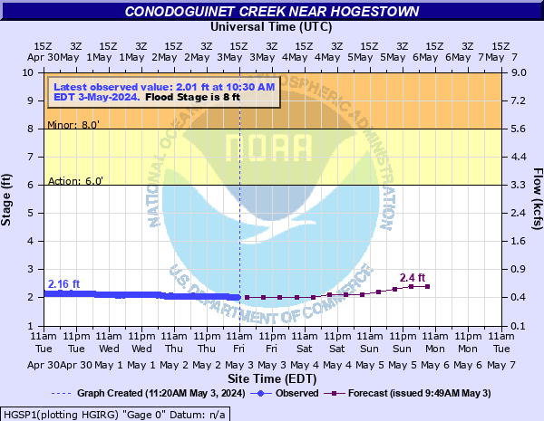
6' - Action
8' - Flood
10' - Moderate
12' - Major
Latest Observation
Updated: 11:30 PM EST 12/14/25
Status: No Flooding
Stage: 1.1 ft
Flow: 0.095 kcfs
Forecast
| Time | Stage (ft) | Flow (kcfs) |
|---|---|---|
| 1 AM 12/15 | 1.2 | 0.116 |
| 7 AM 12/15 | 1.2 | 0.116 |
| 1 PM 12/15 | 1.2 | 0.116 |
| 7 PM 12/15 | 1.2 | 0.116 |
| 1 AM 12/16 | 1.2 | 0.116 |
| 7 AM 12/16 | 1.2 | 0.116 |
| 1 PM 12/16 | 1.2 | 0.116 |
| 7 PM 12/16 | 1.2 | 0.116 |
| 1 AM 12/17 | 1.2 | 0.116 |
| 7 AM 12/17 | 1.2 | 0.116 |
| Time | Stage (ft) | Flow (kcfs) |
|---|---|---|
| 11:30 PM 12/14 | 1.1 | 0.095 |
| 11:15 PM 12/14 | 1.1 | 0.095 |
| 11:00 PM 12/14 | 1.1 | 0.095 |
| 10:45 PM 12/14 | 1.09 | 0.0929 |
| 10:30 PM 12/14 | 1.09 | 0.0929 |
| 10:15 PM 12/14 | 1.09 | 0.0929 |
| 10:00 PM 12/14 | 1.08 | 0.0908 |
| 9:45 PM 12/14 | 1.09 | 0.0929 |
| 9:30 PM 12/14 | 1.09 | 0.0929 |
| 9:15 PM 12/14 | 1.09 | 0.0929 |
| 9:00 PM 12/14 | 1.09 | 0.0929 |
| 8:45 PM 12/14 | 1.09 | 0.0929 |
| 8:30 PM 12/14 | 1.09 | 0.0929 |
| 8:15 PM 12/14 | 1.08 | 0.0908 |
| 8:00 PM 12/14 | 1.08 | 0.0908 |
| 7:45 PM 12/14 | 1.08 | 0.0908 |
| 7:30 PM 12/14 | 1.09 | 0.0929 |
| 7:15 PM 12/14 | 1.1 | 0.095 |
| 7:00 PM 12/14 | 1.12 | 0.099 |
| 6:45 PM 12/14 | 1.13 | 0.101 |
| 6:30 PM 12/14 | 1.14 | 0.103 |
| 6:15 PM 12/14 | 1.14 | 0.103 |
| 6:00 PM 12/14 | 1.13 | 0.101 |
| 5:45 PM 12/14 | 1.13 | 0.101 |
| 5:30 PM 12/14 | 1.13 | 0.101 |
| 5:15 PM 12/14 | 1.13 | 0.101 |
| 5:00 PM 12/14 | 1.14 | 0.103 |
| 4:45 PM 12/14 | 1.14 | 0.103 |
| 4:30 PM 12/14 | 1.15 | 0.105 |
| 4:15 PM 12/14 | 1.14 | 0.103 |
18.5' -
Approximate level of the FEMA 0.2 0X0P+0nnual Chance Flood level (500-year flood). Flood waters are expected to reach the bottom of the Sample Bridge Road Bridge near the river gage.
16' -
Most homes near the creek are affected by flooding. Most secondary roads across the creek will be closed due to high water.
15.6' -
Maximum recordable gage height (stage sensor operational limit). Water levels above this stage are not reported in real time.
15.5' -
Approximate level of the FEMA 1 0X0P+0nnual Chance Flood level (100-year flood).
14.5' -
Approximate level of the FEMA 2 0X0P+0nnual Chance Flood level (50-year flood).
14' -
Homes along the entire length of the creek are affected by high water.
12.2' -
Approximate level of the FEMA 10 0X0P+0nnual Chance Flood level (10-year flood).
12' -
Numerous homes are affected by high water all along the creek. The approaches to the bridges on Erb's Bridge Road, Sample Bridge Road, and Oyster Mill Road are inundated.
10' -
Some residences in the vicinity of Erb's Bridge Road, Prowell Road, Stone Spring Lane, and Oyster Mill Road are flooded.
8' -
Low lying areas in the vicinity of Erbs Bridge Road, Prowell Road, Stone Spring Lane, and Oyster Mill Road are flooded.
| Date | Stage (ft) |
|---|---|
| Jun 23, 1972 | 17.01 |
| Sep 26, 1975 | 12.56 |
| Feb 15, 1984 | 12.5 |
| Mar 12, 1952 | 12.16 |
| Sep 19, 2004 | 11.35 |
| Dec 2, 1934 | 11.32 |
| Dec 26, 2020 | 11.04 |
| Oct 23, 1952 | 10.9 |
| Oct 10, 1976 | 10.84 |
| Aug 24, 1933 | 10.66 |
| Sep 8, 2011 | 10.53 |
| Mar 13, 1936 | 10.37 |
| Sep 8, 1996 | 10.32 |
| Jan 25, 1979 | 10.3 |
| Jul 26, 2018 | 10.1 |
| Mar 12, 2011 | 10.07 |
| Jun 28, 2005 | 10.05 |
| Feb 26, 1979 | 9.93 |
| Apr 18, 2011 | 9.74 |
| Apr 27, 1937 | 9.66 |
Data provided by the National Weather Service.