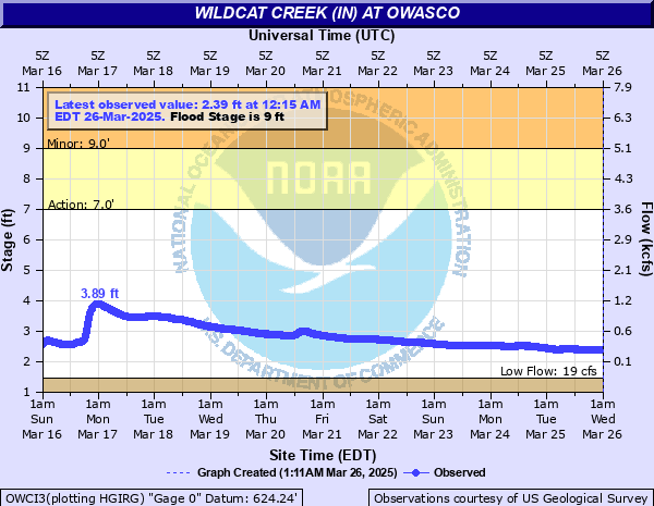
Wildcat Creek (IN) at Owasco
Critical Stages
7' - Action
9' - Flood
11' - Moderate
Major
Latest Observation
Updated: 5:15 PM EST 12/15/25
Status: No Flooding
Stage: 1.63 ft
Flow: 0.0275 kcfs
Forecast
Forecast not available for this location.
| Time | Stage (ft) | Flow (kcfs) |
|---|---|---|
| 5:15 PM 12/15 | 1.63 | 0.0275 |
| 5:00 PM 12/15 | 1.61 | 0.0258 |
| 4:45 PM 12/15 | 1.59 | 0.0243 |
| 4:30 PM 12/15 | 1.55 | 0.0218 |
| 4:15 PM 12/15 | 1.51 | 0.0195 |
| 4:00 PM 12/15 | 1.47 | 0.017 |
| 3:45 PM 12/15 | 1.44 | 0.0152 |
| 3:30 PM 12/15 | 1.43 | 0.0146 |
| 3:15 PM 12/15 | 1.79 | 0.0447 |
| 3:00 PM 12/15 | 1.75 | 0.0396 |
| 2:45 PM 12/15 | 1.74 | 0.0384 |
| 2:30 PM 12/15 | 1.78 | 0.0434 |
| 2:15 PM 12/15 | 1.78 | 0.0434 |
| 2:00 PM 12/15 | 1.45 | 0.0158 |
| 1:45 PM 12/15 | 1.43 | 0.0146 |
| 1:30 PM 12/15 | 1.43 | 0.0146 |
| 1:15 PM 12/15 | 1.44 | 0.0152 |
| 1:00 PM 12/15 | 1.45 | 0.0158 |
| 12:45 PM 12/15 | 1.47 | 0.017 |
| 12:30 PM 12/15 | 1.63 | 0.0275 |
| 12:15 PM 12/15 | 1.65 | 0.0292 |
| 12:00 PM 12/15 | 1.66 | 0.0301 |
| 11:45 AM 12/15 | 1.65 | 0.0292 |
| 11:30 AM 12/15 | 1.66 | 0.0301 |
| 11:15 AM 12/15 | 1.67 | 0.0311 |
| 11:00 AM 12/15 | 1.67 | 0.0311 |
| 10:45 AM 12/15 | 1.65 | 0.0292 |
| 10:30 AM 12/15 | 1.62 | 0.0266 |
| 10:15 AM 12/15 | 1.56 | 0.0224 |
| 10:00 AM 12/15 | 1.49 | 0.0183 |
12.5' -
State Road 26 near Edna Mills in Clinton County on the Middle Fork of Wildcat Creek floods when this site is around this level and higher.
| Date | Stage (ft) |
|---|---|
| Jul 6, 2003 | 16.22 |
| Mar 28, 1913 | 16 |
| May 18, 1943 | 14 |
| Apr 20, 2013 | 13.94 |
| Jan 5, 1950 | 13.3 |
| Jun 13, 1998 | 12.05 |
| Dec 31, 1990 | 12.04 |
| Jul 16, 1992 | 11.99 |
| Apr 21, 1964 | 11.75 |
| Feb 11, 1959 | 11.74 |
| Jan 24, 1999 | 11.66 |
| Jun 4, 1980 | 11.58 |
| Jun 11, 1958 | 11.5 |
| Sep 2, 1989 | 11.42 |
| May 6, 2017 | 11.09 |
| Nov 14, 1992 | 11.03 |
| Apr 12, 1944 | 10.95 |
| Feb 28, 1997 | 10.92 |
| Jan 28, 1962 | 10.89 |
| Jun 29, 2015 | 10.55 |
Data provided by the National Weather Service.