« Back to North Sandwich Rivers
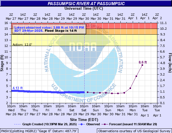
Passumpsic River at Passumpsic
Critical Stages
12' - Action
14' - Flood
15' - Moderate
19' - Major
Latest Observation
Updated: 4:15 PM EST 12/5/25
Status: No Flooding
Stage: 2.31 ft
Flow: 0.229 kcfs
Forecast
| Time | Stage (ft) | Flow (kcfs) |
|---|---|---|
| 7 PM 12/5 | 2.4 | 0.256 |
| 1 AM 12/6 | 2.3 | 0.226 |
| 7 AM 12/6 | 2.3 | 0.226 |
| 1 PM 12/6 | 2.3 | 0.226 |
| 7 PM 12/6 | 2.3 | 0.226 |
| 1 AM 12/7 | 2.3 | 0.226 |
| 7 AM 12/7 | 2.3 | 0.226 |
| 1 PM 12/7 | 2.3 | 0.226 |
| 7 PM 12/7 | 2.3 | 0.226 |
| 1 AM 12/8 | 2.3 | 0.226 |
| 7 AM 12/8 | 2.3 | 0.226 |
| Time | Stage (ft) | Flow (kcfs) |
|---|---|---|
| 5:15 PM 12/5 | 2.44 | 0.268 |
| 5:00 PM 12/5 | 2.4 | 0.256 |
| 4:45 PM 12/5 | 2.36 | 0.244 |
| 4:30 PM 12/5 | 2.33 | 0.235 |
| 4:15 PM 12/5 | 2.31 | 0.229 |
| 4:00 PM 12/5 | 2.29 | 0.223 |
| 3:45 PM 12/5 | 2.28 | 0.22 |
| 3:30 PM 12/5 | 2.28 | 0.22 |
| 3:15 PM 12/5 | 2.28 | 0.22 |
| 3:00 PM 12/5 | 2.29 | 0.223 |
| 2:45 PM 12/5 | 2.3 | 0.226 |
| 2:30 PM 12/5 | 2.31 | 0.229 |
| 2:15 PM 12/5 | 2.32 | 0.232 |
| 2:00 PM 12/5 | 2.34 | 0.238 |
| 1:45 PM 12/5 | 2.36 | 0.244 |
| 1:30 PM 12/5 | 2.37 | 0.247 |
| 1:15 PM 12/5 | 2.39 | 0.253 |
| 1:00 PM 12/5 | 2.41 | 0.259 |
| 12:45 PM 12/5 | 2.48 | 0.281 |
| 12:30 PM 12/5 | 2.53 | 0.297 |
| 12:15 PM 12/5 | 2.57 | 0.31 |
| 12:00 PM 12/5 | 2.62 | 0.328 |
| 11:45 AM 12/5 | 2.68 | 0.353 |
| 11:30 AM 12/5 | 2.73 | 0.376 |
| 11:15 AM 12/5 | 2.78 | 0.4 |
| 11:00 AM 12/5 | 2.79 | 0.405 |
| 10:45 AM 12/5 | 2.82 | 0.42 |
| 10:30 AM 12/5 | 2.85 | 0.436 |
| 10:15 AM 12/5 | 2.87 | 0.447 |
| 10:00 AM 12/5 | 2.88 | 0.452 |
22' -
Area towns, such as East Burke, West Burke, Lyndonville and St. Johnsbury will be isolated by flooded roads. Flooding will be similar to what was seen in July 2024 and in July 1973.
19' -
Widespread flooding will occur in Lyndonville and Saint Johnsbury Center. Homes and businesses on Route 5 along the Passumpsic from Lyndonville to Saint Johnsbury will be inundated. Flooding may also occur upstream along Joes Brook. Flooding will be similar to April 16 2014 and May 26 2011.
17' -
Route 5 floods on both north and south sides of Lyndonville, as well as at the Center Street Bridge, with homes and businesses along the Passumpsic taking on water. Significant flooding occurs on Route 5 and Old Center Road in Saint Johnsbury center. Flooding may also occur upstream along the Sleepers river in Saint Johnsbury. Flooding will be similar to Irene in 2011.
15' -
Route 5 will flood In St. Johnsbury center.
14' -
Low lying trailer homes near the river will see some minor flooding.
| Date | Stage (ft) |
|---|---|
| Nov 4, 1927 | 31.5 |
| Jul 1, 1973 | 23.49 |
| Jul 11, 2024 | 21.3 |
| Mar 18, 1936 | 21.23 |
| Jun 13, 2002 | 19.28 |
| Apr 16, 2014 | 19.24 |
| May 27, 2011 | 18.95 |
| Mar 29, 1989 | 17.78 |
| Mar 17, 1990 | 17.75 |
| Jan 10, 1935 | 17.74 |
| Apr 21, 2019 | 17.25 |
| Aug 29, 2011 | 17.13 |
| Apr 2, 1976 | 16.9 |
| May 5, 1972 | 16.88 |
| Aug 6, 1995 | 16.75 |
| Jul 30, 2024 | 16.4 |
| Dec 18, 2000 | 16.36 |
| Dec 19, 2023 | 16.29 |
| Apr 1, 1987 | 16.26 |
| Apr 17, 1994 | 15.81 |
Data provided by the National Weather Service.