Apalachee River near Bostwick
Critical Stages
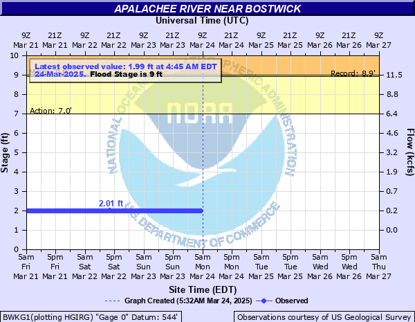
7' - Action
9' - Flood
16' - Moderate
21' - Major
Latest Observation
Updated: 5:45 PM EST 12/5/25
Status: No Flooding
Stage: 2.11 ft
Flow: 0.191 kcfs
Forecast
Forecast not available for this location.
| Time | Stage (ft) | Flow (kcfs) |
|---|---|---|
| 5:45 PM 12/5 | 2.11 | 0.191 |
| 5:30 PM 12/5 | 2.1 | 0.188 |
| 5:15 PM 12/5 | 2.1 | 0.188 |
| 5:00 PM 12/5 | 2.1 | 0.188 |
| 4:45 PM 12/5 | 2.1 | 0.188 |
| 4:30 PM 12/5 | 2.1 | 0.188 |
| 4:15 PM 12/5 | 2.1 | 0.188 |
| 4:00 PM 12/5 | 2.1 | 0.188 |
| 3:45 PM 12/5 | 2.1 | 0.188 |
| 3:30 PM 12/5 | 2.1 | 0.188 |
| 3:15 PM 12/5 | 2.1 | 0.188 |
| 3:00 PM 12/5 | 2.1 | 0.188 |
| 2:45 PM 12/5 | 2.1 | 0.188 |
| 2:30 PM 12/5 | 2.1 | 0.188 |
| 2:15 PM 12/5 | 2.1 | 0.188 |
| 2:00 PM 12/5 | 2.1 | 0.188 |
| 1:45 PM 12/5 | 2.1 | 0.188 |
| 1:30 PM 12/5 | 2.1 | 0.188 |
| 1:15 PM 12/5 | 2.11 | 0.191 |
| 1:00 PM 12/5 | 2.11 | 0.191 |
| 12:45 PM 12/5 | 2.11 | 0.191 |
| 12:30 PM 12/5 | 2.11 | 0.191 |
| 12:15 PM 12/5 | 2.11 | 0.191 |
| 12:00 PM 12/5 | 2.11 | 0.191 |
| 11:45 AM 12/5 | 2.11 | 0.191 |
| 11:30 AM 12/5 | 2.11 | 0.191 |
| 11:15 AM 12/5 | 2.11 | 0.191 |
| 11:00 AM 12/5 | 2.11 | 0.191 |
| 10:45 AM 12/5 | 2.1 | 0.188 |
| 10:30 AM 12/5 | 2.1 | 0.188 |
16' -
Moderate flooding begins. River access roads are covered with water. Robinson Creek upstream and Freem Creek downstream from the river gauge will backup and cause additional flooding.
9' -
Flood stage is reached. Minor flooding occurs. Water overflows into any agricultural lands and pastures near the river upstream and downstream from the river gauge.
7' -
Water enters the flood plain at this point. The area at the gage site is an isolated part of the county where very high banks or cliffs exist.
| Date | Stage (ft) |
|---|---|
| Jan 6, 1946 | 8.9 |
| Nov 28, 1948 | 8.26 |
| Mar 17, 1990 | 7.54 |
| Jul 2, 2003 | 7.43 |
| Apr 25, 1945 | 7.1 |
Data provided by the National Weather Service.