« Back to Novi Township Rivers
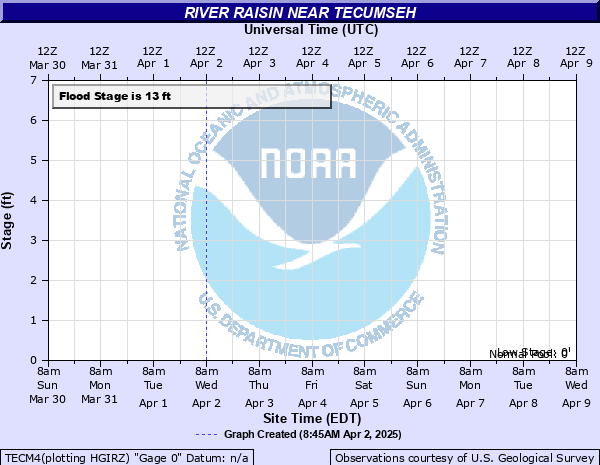
River Raisin near Tecumseh
Critical Stages
11' - Action
13' - Flood
14' - Moderate
15' - Major
Latest Observation
Updated: 7:03 PM LMT 12/31/00
Status: Obs Not Current
Stage: -999 ft
Flow: -999 kcfs
Forecast
Forecast not available for this location.
Observation history not available.
14' -
The river may begin to affect structures in the Tecumseh waste water treatment plant.
13' -
The river begins to flood Raisin Center Highway by the river gauge.
7' -
The river reaches bankfull. Overflow into the woods and some fields begins.
| Date | Stage (ft) |
|---|---|
| Jun 26, 1968 | 12.66 |
| Mar 14, 1982 | 12.07 |
| Feb 24, 1985 | 12 |
| Dec 31, 1990 | 11.8 |
| Jan 5, 1993 | 11.5 |
| May 3, 1983 | 11.22 |
| Feb 21, 1971 | 11 |
| Mar 15, 1997 | 10.5 |
| Mar 24, 1993 | 10.5 |
| Mar 5, 1976 | 10.43 |
| Mar 4, 1979 | 10.25 |
| Feb 14, 1984 | 10.22 |
| Mar 18, 1980 | 10.21 |
| Mar 22, 1978 | 10.19 |
| Feb 23, 1974 | 10.03 |
| Jun 1, 1989 | 10 |
| Sep 16, 1992 | 9.95 |
| Jun 29, 1973 | 9.84 |
| May 10, 1996 | 9.8 |
| Oct 11, 1990 | 9.8 |
Data provided by the National Weather Service.