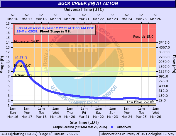
Buck Creek (IN) at Acton
Critical Stages
7' - Action
9' - Flood
14' - Moderate
18' - Major
Latest Observation
Updated: 1:00 AM EST 12/6/25
Status: No Flooding
Stage: 1.76 ft
Flow: 0.0077 kcfs
Forecast
Forecast not available for this location.
| Time | Stage (ft) | Flow (kcfs) |
|---|---|---|
| 1:00 AM 12/6 | 1.76 | 0.0077 |
| 12:45 AM 12/6 | 1.76 | 0.0077 |
| 12:30 AM 12/6 | 1.76 | 0.0077 |
| 12:15 AM 12/6 | 1.76 | 0.0077 |
| 12:00 AM 12/6 | 1.76 | 0.0077 |
| 11:45 PM 12/5 | 1.76 | 0.0077 |
| 11:30 PM 12/5 | 1.76 | 0.0077 |
| 11:15 PM 12/5 | 1.76 | 0.0077 |
| 11:00 PM 12/5 | 1.76 | 0.0077 |
| 10:45 PM 12/5 | 1.76 | 0.0077 |
| 10:30 PM 12/5 | 1.76 | 0.0077 |
| 10:15 PM 12/5 | 1.76 | 0.0077 |
| 10:00 PM 12/5 | 1.77 | 0.008 |
| 9:45 PM 12/5 | 1.77 | 0.008 |
| 9:30 PM 12/5 | 1.77 | 0.008 |
| 9:15 PM 12/5 | 1.77 | 0.008 |
| 9:00 PM 12/5 | 1.77 | 0.008 |
| 8:45 PM 12/5 | 1.77 | 0.008 |
| 8:30 PM 12/5 | 1.77 | 0.008 |
| 8:15 PM 12/5 | 1.77 | 0.008 |
| 8:00 PM 12/5 | 1.77 | 0.008 |
| 7:45 PM 12/5 | 1.77 | 0.008 |
| 7:30 PM 12/5 | 1.77 | 0.008 |
| 7:15 PM 12/5 | 1.77 | 0.008 |
| 7:00 PM 12/5 | 1.77 | 0.008 |
| 6:45 PM 12/5 | 1.77 | 0.008 |
| 6:30 PM 12/5 | 1.77 | 0.008 |
| 6:15 PM 12/5 | 1.77 | 0.008 |
| 6:00 PM 12/5 | 1.77 | 0.008 |
| 5:45 PM 12/5 | 1.77 | 0.008 |
22.8' -
Float of gage near or at the instrument shelf. No further readings possible.
20.9' -
Low steel of the Mc Gregor Road Bridge near the gaging site.
19.89' -
Top of still well of gaging site.
19' -
Highest flood level since May 28, 1956. A disastrous flood possible along Buck Creek affecting residential areas. Roads and bridges may be washed out.
18' -
A major flood in progress along Buck Creek. Flood levels are the highest since May 1956. Flooding of residential areas likely. Local roads flooded by several feet.
15' -
Buck Creek at a level not seen in the Acton area since the July 1969 flood. Several local roads extensively flooded. Flooding of residential areas possible.
14' -
Significant flooding along Buck Creek in southeast Marion and northwest Shelby counties. Shelby CR 700N is flooded extensively just a short distance east of Shelby CR 875W. Extensive flooding of agricultural and recreational areas in the Acton area. Some residential flooding is possible.
12' -
Extensive lowland flooding along Buck Creek in southeast Marion and northwest Shelby Counties. Flooding affects agricultural and recreational areas. Flooding may affect some residential areas. Shelby CR 700N one quarter of a mile east of Shelby CR 875 is flooded by more than one foot of water especially if Sugar Creek at New Palestine is 8 feet or higher.
9.5' -
Flooding in progress along Buck Creek in southeast Marion and northwest Shelby Counties. Flooding primarily affects agricultural land and some recreational areas. Flooding of Shelby CR 700N one quarter of a mile east of Shelby CR 875W may begin at this level especially if Sugar Creek at New Palestine is 7 feet or higher.
6.4' -
Buck Creek approaching bankfull levels in southeast Marion and northwest Shelby counties. Buck Creek is quite noticeable along Shelby CR 700N one quarter of a mile east of Shelby CR 875W. Sugar Creek at New Palestine had crest of 6.7 feet on July 21, 2010.
| Date | Stage (ft) |
|---|---|
| Jul 20, 1969 | 14.99 |
| Nov 14, 1993 | 14.44 |
| Dec 22, 2013 | 14.01 |
| Jun 20, 2011 | 13.72 |
| Dec 30, 1990 | 13.28 |
| Jun 16, 2019 | 12.65 |
| Jan 6, 2005 | 12.58 |
| Jun 26, 1978 | 12.47 |
| Jun 22, 2010 | 12.43 |
| Apr 20, 2011 | 12.39 |
| Jun 15, 1998 | 12 |
| Apr 3, 2018 | 12 |
| Apr 5, 2025 | 11.99 |
| Nov 8, 1996 | 11.8 |
| Dec 1, 2006 | 11.74 |
| Jun 18, 1992 | 11.71 |
| Apr 29, 1996 | 11.69 |
| Jan 5, 2004 | 11.6 |
| Jun 4, 2008 | 11.6 |
| Oct 4, 1986 | 11.59 |
Data provided by the National Weather Service.