Mississinewa River near Ridgeville
Critical Stages
8' - Action
11' - Flood
13' - Moderate
15' - Major
Latest Observation
Updated: 7:03 PM LMT 12/31/00
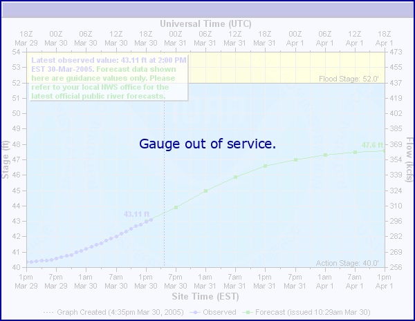
Status: Out Of Service
Stage: -999 ft
Flow: -999 kcfs
Forecast
Forecast not available for this location.
Observation history not available.
18' -
Nearly two feet above the June 1958 flood. Flood waters are nearing the bottom of the gaging station located just north of SR 28. State Road 28 is impassable east of Ridgeville. Residential flooding occurs in Ridgeville, Albany and Eaton. A disastrous flood as many local and state roads are severely flooded. The Mississinewa River is more than one-half of a mile wide.
17' -
A record flood in progress. Much of SR 28 east of Ridgeville is flooded. Both approaches to CR 100 W and local river roads are extensively flooded. Residential flooding in Ridgeville, Albany and Eaton.
16.25' -
Record flooding in progress as flood waters overflow both banks and likely flood the approaches to CR 100 W bridge. Portions of SR 28 between Ridgeville and Deerfield are flooded. State Road 1 south of SR 28 and local river roads are flooded by more than two feet of water. The river may be one-half of a mile wide. Residential flooding in Ridgeville, Albany and Eaton.
15.5' -
Major flooding continues to impact local river roads, SR 1, portions of SR 28 east of Ridgeville and some residential areas in Ridgeville, Albany and Eaton. The river begins to spread out in northern Randolph County.
15' -
Major flooding is in progress. Extensive flooding of agricultural lands, SR 1 south of SR 28 and local county roads running along the Mississinewa River. Some low lying residential areas may be affected in Albany and Eaton.
14' -
State Road 1 south of the intersection with SR 28 in western Randolph County is impassable. Extensive agricultural flooding in progress. At least a few county roads flooded including West CR 825 east of SR 1 and West River Road west of SR 1.
13' -
Significant flooding of Mississinewa River in northern Randolph County. Water is likely on SR 1 just south of SR 28. West CR 825 N east of SR 1 and West River Road west of SR 1 and possibly other county roads are flooded. Little League field in Ridgeville is flooded. Noticeable agricultural flooding in progress.
11.5' -
Water on the shoulder and edge of SR 1 south of the junction with SR 28 in western Randolph County.
11' -
Lowland agricultural flooding along CR 100 W just north of the river. High water affecting a small portion of River Road just east of SR 1 and north of the river. Water is within a few feet vertically of the approaches to SR 1 bridge in western Randolph county.
10' -
Mississinewa River banks about one mile east of Ridgeville and in other areas begin to overflow at this level.
| Date | Stage (ft) |
|---|---|
| Jun 10, 1958 | 16.25 |
| Feb 28, 2011 | 16.14 |
| Jun 27, 2015 | 15.65 |
| Jan 12, 2005 | 15.51 |
| Dec 22, 2013 | 15.46 |
| Jul 13, 1992 | 15.43 |
| Nov 14, 1993 | 15.35 |
| Dec 30, 1990 | 15.14 |
| Mar 5, 2011 | 14.98 |
| Sep 2, 2003 | 14.77 |
| Dec 1, 2006 | 14.73 |
| Jan 9, 2008 | 14.7 |
| Jan 21, 1959 | 14.7 |
| Jun 28, 1957 | 14.57 |
| Mar 2, 2007 | 14.48 |
| Feb 6, 2008 | 14.47 |
| Apr 9, 1998 | 14.35 |
| Apr 3, 2014 | 14.31 |
| Apr 20, 1964 | 14.28 |
| May 5, 2017 | 14.2 |
Data provided by the National Weather Service.