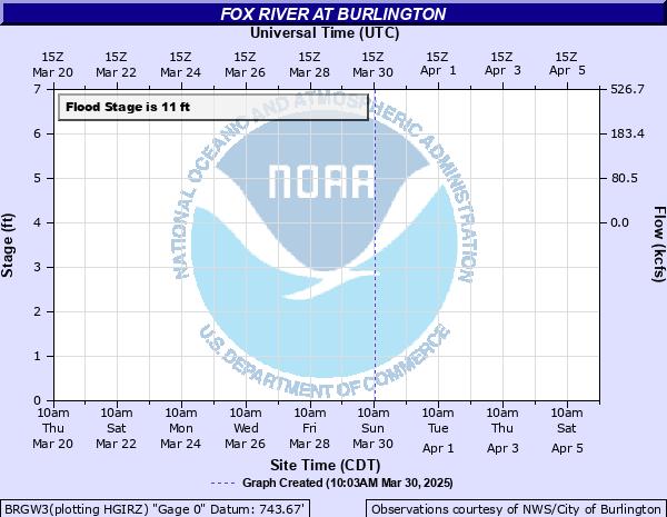
Fox River at Burlington
Critical Stages
9' - Action
11' - Flood
12' - Moderate
14' - Major
Latest Observation
Updated: 6:09 PM LMT 12/31/00
Status: Out Of Service
Stage: -999 ft
Flow: -999 kcfs
Forecast
Forecast not available for this location.
Observation history not available.
15.8' -
The city of Burlington is divided in half from east to west by Fox River floodwaters. Bridges and streets in downtown Burlington are blocked off and closed, including Bridge St. Floodwaters affect homes on the following streets north of E. Jefferson St. in Burlington: North Spring St., North Main St., North Wisconsin St., Capital St. Water approaches Hwy 83.
15.19' -
Floodwaters touch the lowest horizontal steel on the Jefferson St. bridge in Burlington. Floodwaters affect homes on the following streets north of East Jefferson St. in Burlington: North Spring St, North Main St. and North Wisconsin St. A low spot in the sidewalk on the west side of the river near the Jefferson Street bridge is flooded to a depth of 2 to 3 feet.
14' -
Riverside Park and Veterans Park in Burlington are flooded. Floodwaters affect North Spring Street, North Main Street and North Wisconsin Street adjacent to the river in Burlington. A portion of Brever Road is flooded about 4 miles south of Burlington. Water covers a low spot to a depth of 1 to 2 feet in the sidewalk adjacent to a large apartment building on the west side of the river near the Jefferson Street bridge.
13.5' -
There are about 8 inches of water over a low spot in the sidewalk of a large apartment building on the west side of the river near the Jefferson Street bridge. Floodwaters affect North Spring Street, North Main Street and North Wisconsin Street adjacent to the river in Burlington. Water covers a portion of Brever Road about 4 miles south of Burlington. Riverside Park and Veterans Park in Burlington are flooded.
13.1' -
Floodwaters affect North Spring Street and North Main Street adjacent to the river in Burlington. Floodwaters are in Riverside Park and Veterans Park in Burlington. Floodwaters cover a good portion of Brever Road about 4 miles south of Burlington. The parking lot is flooded at Veteran's Terrace in Burlington.
12.5' -
Floodwaters are well into Riverside Park in Burlington. Water covers a good portion of Brever Road about 4 miles south of Burlington. Water is in the parking lot at Veteran's Terrace in Burlington.
12' -
Floodwaters are into Riverside Park in Burlington. Water covers a portion of Brever Road about 4 miles south of Burlington. Water is in the parking lot at Veteran's Terrace in Burlington.
11.5' -
Floodwaters are into Riverside Park in Burlington. Floodwaters cover a portion of Brever Road about 4 miles south of Burlington.
11' -
Floodwaters affect parts of Riverside Park in Burlington. Floodwaters cover a portion of Brever Road about 4 miles south of Burlington.
10.5' -
Floodwaters start to affect Riverside Park in Burlington. There is lowland flooding in the Burlington area and upstream in the Big Bend area.
10' -
There is minor lowland flooding in the Burlington area and upstream in the Big Bend area.
9.5' -
There is minor lowland flooding in the Burlington area and upstream in the Big Bend area.
9' -
There is minor lowland flooding in the Burlington area and upstream in the Big Bend area.
| Date | Stage (ft) |
|---|---|
| Jul 13, 2017 | 16.15 |
| Jun 15, 2008 | 13.54 |
| Apr 19, 2013 | 12.91 |
| Aug 21, 2007 | 12.5 |
| Mar 15, 2019 | 11.9 |
| May 24, 2004 | 11.65 |
| Oct 3, 2019 | 11.57 |
| Apr 11, 2008 | 11.44 |
| May 18, 2020 | 11.38 |
| Oct 7, 2018 | 11.33 |
| Feb 21, 2018 | 11.27 |
| Sep 14, 2019 | 11.19 |
| Apr 28, 2009 | 11.14 |
| Apr 1, 2008 | 10.56 |
| Dec 29, 2008 | 10.54 |
| Mar 24, 2011 | 10.39 |
| May 15, 2004 | 10.3 |
| Mar 14, 2007 | 10.3 |
| Jun 5, 2002 | 9.98 |
| Mar 14, 2010 | 9.94 |
Data provided by the National Weather Service.