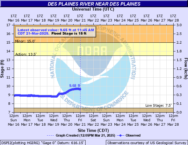
Des Plaines River near Des Plaines
Critical Stages
13.5' - Action
15' - Flood
18' - Moderate
19' - Major
Latest Observation
Updated: 10:45 AM CST 12/6/25
Status: No Flooding
Stage: 7.86 ft
Flow: 0.0152 kcfs
Forecast
Forecast not available for this location.
| Time | Stage (ft) | Flow (kcfs) |
|---|---|---|
| 10:45 AM 12/6 | 7.86 | 0.0152 |
| 10:30 AM 12/6 | 7.86 | 0.0152 |
| 10:15 AM 12/6 | 7.86 | 0.0152 |
| 10:00 AM 12/6 | 7.86 | 0.0152 |
| 9:45 AM 12/6 | 7.86 | 0.0152 |
| 9:30 AM 12/6 | 7.86 | 0.0152 |
| 9:15 AM 12/6 | 7.86 | 0.0152 |
| 9:00 AM 12/6 | 7.86 | 0.0152 |
| 8:45 AM 12/6 | 7.87 | 0.0163 |
| 8:30 AM 12/6 | 7.87 | 0.0163 |
| 8:15 AM 12/6 | 7.87 | 0.0163 |
| 8:00 AM 12/6 | 7.87 | 0.0163 |
| 7:45 AM 12/6 | 7.87 | 0.0163 |
| 7:30 AM 12/6 | 7.87 | 0.0163 |
| 7:15 AM 12/6 | 7.87 | 0.0163 |
| 7:00 AM 12/6 | 7.88 | 0.0174 |
| 6:45 AM 12/6 | 7.88 | 0.0174 |
| 6:30 AM 12/6 | 7.88 | 0.0174 |
| 6:15 AM 12/6 | 7.88 | 0.0174 |
| 6:00 AM 12/6 | 7.88 | 0.0174 |
| 5:45 AM 12/6 | 7.89 | 0.0187 |
| 5:30 AM 12/6 | 7.89 | 0.0187 |
| 5:15 AM 12/6 | 7.89 | 0.0187 |
| 5:00 AM 12/6 | 7.89 | 0.0187 |
| 4:45 AM 12/6 | 7.9 | 0.02 |
| 4:30 AM 12/6 | 7.9 | 0.02 |
| 4:15 AM 12/6 | 7.9 | 0.02 |
| 4:00 AM 12/6 | 7.91 | 0.0214 |
| 3:45 AM 12/6 | 7.91 | 0.0214 |
| 3:30 AM 12/6 | 7.91 | 0.0214 |
22.5' -
Structures threatened at Chicago Executive Airport in Prospect Heights.
21.5' -
Taxiways and runways threatened at Chicago Executive Airport in Prospect Heights.
21' -
Milwaukee Avenue threatened at Palatine Road in Prospect Heights. Algonquin Road threatened east of the river in Des Plaines.
20' -
Water reaches the top of the floodwall along Miner Street causing numerous structures and roadways to be threatened near Miner Street and Busse Highway in Des Plaines. Structures threatened along Prairie Avenue near South River Road in Des Plaines.
18.5' -
Big Bend Road threatened in Des Plaines.
17' -
Central Avenue and Golf Road are threatened in Des Plaines.
15' -
Structures threatened at Methodist Campground in Des Plaines. Forest preserve roadways are threatened.
14' -
Low-lying Methodist Campground property and forest preserve property threatened near Des Plaines.
13' -
Camp Ground Road and Des Plaines River Trail threatened near Miner Street in Des Plaines.
12' -
Low-lying sections of the Des Plaines River Trail threatened near Des Plaines.
| Date | Stage (ft) |
|---|---|
| Apr 19, 2013 | 20.92 |
| Oct 1, 1986 | 20.88 |
| Sep 14, 2008 | 20 |
| Jul 14, 2017 | 19.92 |
| May 18, 2020 | 19.77 |
| Jul 4, 1938 | 19 |
| Aug 14, 1987 | 18.77 |
| May 21, 1996 | 18.67 |
| Aug 2, 2007 | 18.62 |
| Apr 2, 1960 | 18.56 |
| May 27, 2004 | 18.51 |
| Feb 22, 1997 | 18.05 |
| Jul 23, 1982 | 17.95 |
| Sep 14, 2019 | 17.88 |
| Apr 24, 1999 | 17.8 |
| Apr 25, 1950 | 17.78 |
| Mar 12, 2021 | 17.78 |
| Apr 3, 1983 | 17.76 |
| Jun 3, 1970 | 17.65 |
| Jul 23, 2011 | 17.55 |
Data provided by the National Weather Service.