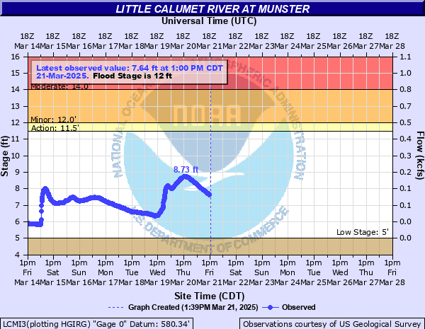
Little Calumet River at Munster
Critical Stages
11.5' - Action
12' - Flood
14' - Moderate
17' - Major
Latest Observation
Updated: 11:00 AM CST 12/6/25
Status: No Flooding
Stage: 5.23 ft
Flow: 0.0098 kcfs
Forecast
Forecast not available for this location.
| Time | Stage (ft) | Flow (kcfs) |
|---|---|---|
| 11:00 AM 12/6 | 5.23 | 0.0098 |
| 10:45 AM 12/6 | 5.22 | 0.0095 |
| 10:30 AM 12/6 | 5.23 | 0.0098 |
| 10:15 AM 12/6 | 5.18 | 0.0086 |
| 10:00 AM 12/6 | 5.2 | 0.009 |
| 9:45 AM 12/6 | 5.24 | 0.0101 |
| 9:30 AM 12/6 | 5.2 | 0.009 |
| 9:15 AM 12/6 | 5.19 | 0.0088 |
| 9:00 AM 12/6 | 5.2 | 0.009 |
| 8:45 AM 12/6 | 5.2 | 0.009 |
| 8:30 AM 12/6 | 5.2 | 0.009 |
| 8:15 AM 12/6 | 5.2 | 0.009 |
| 7:30 AM 12/6 | 5.22 | 0.0095 |
| 7:15 AM 12/6 | 5.21 | 0.0093 |
| 7:00 AM 12/6 | 5.21 | 0.0093 |
| 6:45 AM 12/6 | 5.21 | 0.0093 |
| 6:30 AM 12/6 | 5.21 | 0.0093 |
| 6:15 AM 12/6 | 5.21 | 0.0093 |
| 6:00 AM 12/6 | 5.21 | 0.0093 |
| 5:45 AM 12/6 | 5.21 | 0.0093 |
| 5:30 AM 12/6 | 5.21 | 0.0093 |
| 5:15 AM 12/6 | 5.21 | 0.0093 |
| 5:00 AM 12/6 | 5.21 | 0.0093 |
| 4:45 AM 12/6 | 5.21 | 0.0093 |
| 4:30 AM 12/6 | 5.22 | 0.0095 |
| 4:15 AM 12/6 | 5.22 | 0.0095 |
| 4:00 AM 12/6 | 5.22 | 0.0095 |
| 3:45 AM 12/6 | 5.22 | 0.0095 |
| 3:30 AM 12/6 | 5.22 | 0.0095 |
| 3:15 AM 12/6 | 5.24 | 0.0101 |
20' -
Water reaches the top of the levees near the river in Munster and Hammond.
19.5' -
Without flood protection, widespread inundation of roadways and structures in the floodplain reaches up to 5 blocks from the river in Hammond and Munster.
19' -
Water reaches isolated low spots in the levee in western sections of Hammond and Munster.
18.5' -
Evacuations may begin near the river in Hammond and Munster. Without flood protection, I-80 is threatened at Calumet Avenue in Hammond.
17.5' -
Residences threatened north of the river between Hohman Avenue and Lyman Avenue in Hammond. Water reaches the top of the levee in Calumet City and Lansing. Calumet Avenue may be closed at the levee in Hammond and Munster to install temporary flood protection. Hohman Avenue is threatened north of the river in Hammond.
16.5' -
Without flood protection, widespread inundation of roadways and structures reaches up to 5 blocks from the river in Calumet City and Lansing.
15.5' -
Columbia Avenue may be closed at the levee in Hammond and Munster to install temporary flood protection.
12.5' -
Most areas outside of the levee-protected area are inundated in Hammond and Munster.
10' -
Water overflows low-lying river banks outside of the levee-protected area in Hammond and Munster.
| Date | Stage (ft) |
|---|---|
| Sep 14, 2008 | 17.29 |
| Nov 28, 1990 | 17.03 |
| Jun 14, 1981 | 16.4 |
| Feb 21, 2018 | 16.36 |
| Jul 19, 1996 | 16.2 |
| Dec 4, 1982 | 16.03 |
| Feb 22, 1997 | 15.68 |
| Jun 2, 1989 | 15.66 |
| May 13, 2002 | 15.35 |
| Aug 25, 2007 | 14.88 |
| Sep 29, 2019 | 14.52 |
| Dec 25, 1965 | 14.43 |
| Dec 31, 1972 | 14.35 |
| Jun 10, 2011 | 14.24 |
| May 2, 2019 | 14.24 |
| May 1, 2019 | 14.24 |
| May 23, 2020 | 14.13 |
| Aug 18, 1968 | 14.1 |
| May 18, 2020 | 13.94 |
| May 8, 1999 | 13.89 |
Data provided by the National Weather Service.