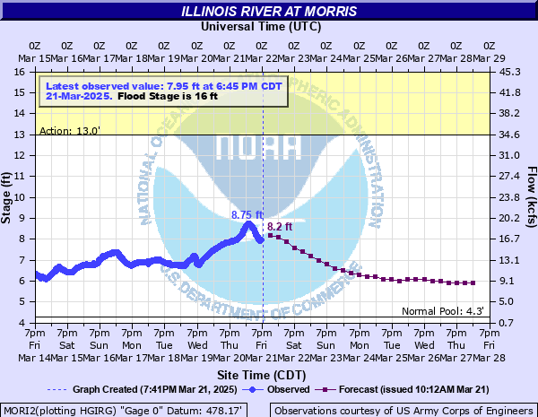
Illinois River at Morris
Critical Stages
13' - Action
16' - Flood
18' - Moderate
22' - Major
Latest Observation
Updated: 10:45 AM CST 12/6/25
Status: No Flooding
Stage: 5.14 ft
Flow: 5.02 kcfs
Forecast
| Time | Stage (ft) | Flow (kcfs) |
|---|---|---|
| 12 PM 12/6 | 5 | 4.35 |
| 6 PM 12/6 | 4.9 | 3.37 |
| 12 AM 12/7 | 4.9 | 3.37 |
| 6 AM 12/7 | 4.9 | 3.37 |
| 12 PM 12/7 | 4.9 | 3.37 |
| 6 PM 12/7 | 4.9 | 3.37 |
| 12 AM 12/8 | 4.9 | 3.37 |
| 6 AM 12/8 | 4.9 | 3.37 |
| 12 PM 12/8 | 4.9 | 3.37 |
| 6 PM 12/8 | 4.9 | 3.37 |
| 12 AM 12/9 | 4.9 | 3.37 |
| 6 AM 12/9 | 4.9 | 3.37 |
| 12 PM 12/9 | 4.9 | 3.37 |
| 6 PM 12/9 | 4.9 | 3.37 |
| 12 AM 12/10 | 4.9 | 3.37 |
| 6 AM 12/10 | 4.9 | 3.37 |
| 12 PM 12/10 | 4.9 | 3.37 |
| 6 PM 12/10 | 4.9 | 3.37 |
| 12 AM 12/11 | 4.9 | 3.37 |
| 6 AM 12/11 | 4.9 | 3.37 |
| 12 PM 12/11 | 4.9 | 3.37 |
| 6 PM 12/11 | 4.9 | 3.37 |
| 12 AM 12/12 | 4.9 | 3.37 |
| 6 AM 12/12 | 4.9 | 3.37 |
| 12 PM 12/12 | 4.9 | 3.37 |
| 6 PM 12/12 | 4.9 | 3.37 |
| 12 AM 12/13 | 4.9 | 3.37 |
| 6 AM 12/13 | 4.9 | 3.37 |
| Time | Stage (ft) | Flow (kcfs) |
|---|---|---|
| 10:45 AM 12/6 | 5.14 | 5.02 |
| 10:30 AM 12/6 | 5.16 | 5.1 |
| 10:15 AM 12/6 | 5.07 | 4.71 |
| 10:00 AM 12/6 | 5.06 | 4.65 |
| 9:45 AM 12/6 | 5.06 | 4.65 |
| 9:30 AM 12/6 | 5.07 | 4.71 |
| 9:15 AM 12/6 | 5.08 | 4.76 |
| 9:00 AM 12/6 | 5.06 | 4.65 |
| 8:45 AM 12/6 | 5.06 | 4.65 |
| 8:30 AM 12/6 | 5.08 | 4.76 |
| 8:15 AM 12/6 | 5.08 | 4.76 |
| 8:00 AM 12/6 | 5.09 | 4.82 |
| 7:45 AM 12/6 | 5.09 | 4.82 |
| 7:30 AM 12/6 | 5.09 | 4.82 |
| 7:15 AM 12/6 | 5.09 | 4.82 |
| 7:00 AM 12/6 | 5.08 | 4.76 |
| 6:45 AM 12/6 | 5.08 | 4.76 |
| 6:30 AM 12/6 | 5.06 | 4.65 |
| 6:15 AM 12/6 | 5.04 | 4.55 |
| 6:00 AM 12/6 | 5.03 | 4.5 |
| 5:45 AM 12/6 | 5.04 | 4.55 |
| 5:30 AM 12/6 | 5.05 | 4.6 |
| 5:15 AM 12/6 | 5.08 | 4.76 |
| 5:00 AM 12/6 | 4.97 | 4.03 |
| 4:45 AM 12/6 | 4.97 | 4.03 |
| 4:30 AM 12/6 | 4.98 | 4.13 |
| 4:15 AM 12/6 | 4.97 | 4.03 |
| 4:00 AM 12/6 | 4.95 | 3.83 |
| 3:45 AM 12/6 | 4.95 | 3.83 |
| 3:30 AM 12/6 | 4.94 | 3.73 |
27' -
High water levels cause Dresden Lock to shut down.
22' -
Multiple residences threatened between Morris and Marseilles. Numerous roadways threatened along the river between Morris and Marseilles.
21' -
Morris Public Works property is threatened. West River Road is threatened.
20' -
Low-lying residences threatened in Morris.
19.5' -
Old Stage Road threatened near the Illinois and Michigan Canal between Morris and Seneca.
18.5' -
A few residences threatened along Cemetery Road in Morris.
18' -
A few roads threatened near Morris. Low-lying portions of Illini Park inundated near Marseilles.
16' -
Pine Bluff Road threatened west of IL-47 south of Morris. Dwight Road threatened south of Morris. High water levels begin to impact shipping interests along the river.
12.5' -
Low-lying portions of Stratton Park inundated near IL-47 in Morris.
| Date | Stage (ft) |
|---|---|
| Apr 19, 2013 | 24.91 |
| Sep 16, 2008 | 24.84 |
| May 19, 2020 | 24.8 |
| Jul 14, 1957 | 23.91 |
| Feb 21, 1916 | 23.9 |
| Feb 22, 2018 | 23.71 |
| Nov 29, 1990 | 23.13 |
| Dec 4, 1982 | 23.1 |
| May 2, 2019 | 23.03 |
| Feb 22, 1997 | 22.64 |
| Mar 11, 2009 | 22.59 |
| Apr 26, 1950 | 22.4 |
| Jan 14, 2005 | 21.89 |
| Aug 25, 2007 | 21.69 |
| May 21, 1943 | 21.6 |
| Mar 3, 1985 | 21.6 |
| Feb 7, 1942 | 21.6 |
| May 13, 2002 | 21.35 |
| Dec 29, 2008 | 21.31 |
| Jul 19, 1996 | 21.2 |
Data provided by the National Weather Service.