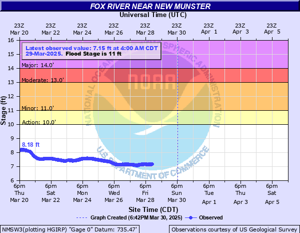
Fox River near New Munster
Critical Stages
10' - Action
11' - Flood
13' - Moderate
14' - Major
Latest Observation
Updated: 10:00 AM CST 12/6/25
Status: No Flooding
Stage: 6.16 ft
Flow: 0.333 kcfs
Forecast
Forecast not available for this location.
| Time | Stage (ft) | Flow (kcfs) |
|---|---|---|
| 10:00 AM 12/6 | 6.16 | 0.333 |
| 9:45 AM 12/6 | 6.16 | 0.333 |
| 9:30 AM 12/6 | 6.16 | 0.333 |
| 9:15 AM 12/6 | 6.17 | 0.336 |
| 9:00 AM 12/6 | 6.16 | 0.333 |
| 8:45 AM 12/6 | 6.16 | 0.333 |
| 8:30 AM 12/6 | 6.17 | 0.336 |
| 8:15 AM 12/6 | 6.17 | 0.336 |
| 8:00 AM 12/6 | 6.17 | 0.336 |
| 7:45 AM 12/6 | 6.18 | 0.339 |
| 7:30 AM 12/6 | 6.19 | 0.342 |
| 7:15 AM 12/6 | 6.19 | 0.342 |
| 7:00 AM 12/6 | 6.2 | 0.345 |
| 6:45 AM 12/6 | 6.19 | 0.342 |
| 6:30 AM 12/6 | 6.19 | 0.342 |
| 6:15 AM 12/6 | 6.2 | 0.345 |
| 6:00 AM 12/6 | 6.21 | 0.348 |
| 5:45 AM 12/6 | 6.2 | 0.345 |
| 5:30 AM 12/6 | 6.22 | 0.351 |
| 5:15 AM 12/6 | 6.22 | 0.351 |
| 5:00 AM 12/6 | 6.22 | 0.351 |
| 4:45 AM 12/6 | 6.22 | 0.351 |
| 4:30 AM 12/6 | 6.23 | 0.354 |
| 4:15 AM 12/6 | 6.24 | 0.357 |
| 4:00 AM 12/6 | 6.23 | 0.354 |
| 3:45 AM 12/6 | 6.25 | 0.36 |
| 3:30 AM 12/6 | 6.26 | 0.363 |
| 3:15 AM 12/6 | 6.25 | 0.36 |
| 3:00 AM 12/6 | 6.27 | 0.366 |
| 2:45 AM 12/6 | 6.26 | 0.363 |
17' -
Many county roads are impacted. There is widespread flooding near to the river in the Town of Wheatland, the Village of Salem Lakes and Trevor. Floodwaters are into the lower and main levels of some homes along Shorewood Drive, Riverside Drive, 101st Street, 77th St, Hwy W and Shorewood Terrace. Highway 50 is closed due to floodwaters over the highway.
16' -
Many county highways are closed or impassable. Highway 50 is closed. There is widespread flooding in the Town of Wheatland and Village of Salem Lakes, including Trevor. Some homes have floodwaters in their main levels.
15' -
Highway 50 is closed due to floodwaters over the highway. There is widespread flooding in the Town of Wheatland and Village of Salem Lakes. Floodwaters are into the lower levels of some homes in those areas along Riverside Drive, Shorewood Drive, 101st Street and Shorewood Terrace.
14' -
There is flooding of the lower levels of homes in the Town of Wheatland and Village of Salem Lakes areas long Riverside Drive, Shorewood Drive, 101st Street and Shorewood Terrace.
13.5' -
Floodwaters are into the lower levels of some homes in the Town of Wheatland and Village of Salem Lakes areas along Riverside Drive and Shorewood Drive.
12' -
Water is up to the first floor levels of some homes in the Town of Wheatland and Village of Salem Lakes area along Riverside Drive and Shorewood Drive.
11.5' -
Water is in the yards of some homes in the Village of Salem Lakes and Town of Wheatland areas, including Riverside Dr and Shorewood Dr. There are 3-4 inches of water over 77th Street in the Town of Wheatland.
11' -
Floodwaters begin to affect 77th St. in the Town of Wheatland. Floodwaters are near some homes along Riverside Dr, Shorewood Dr, and Highway W in the Village of Salem Lakes and Town of Wheatland areas.
10' -
Floodwaters are near some homes along Highway W in the Village of Salem Lakes and Town of Wheatland areas.
| Date | Stage (ft) |
|---|---|
| Jul 13, 2017 | 17.47 |
| Jun 15, 2008 | 15.18 |
| Aug 24, 2007 | 14.98 |
| Apr 20, 2013 | 14.5 |
| May 24, 2004 | 13.73 |
| Jun 15, 1999 | 13.68 |
| Oct 4, 2019 | 13.63 |
| Oct 4, 2019 | 13.61 |
| Sep 14, 2019 | 13.4 |
| Feb 21, 2018 | 13.35 |
| Mar 15, 2019 | 13.34 |
| Oct 7, 2018 | 13.19 |
| Apr 5, 2024 | 13.14 |
| Sep 15, 2019 | 13.12 |
| May 19, 2020 | 12.96 |
| Apr 28, 2009 | 12.82 |
| Jul 26, 2010 | 12.81 |
| Jun 28, 2013 | 12.79 |
| Jun 2, 2000 | 12.76 |
| Feb 22, 1997 | 12.6 |
Data provided by the National Weather Service.