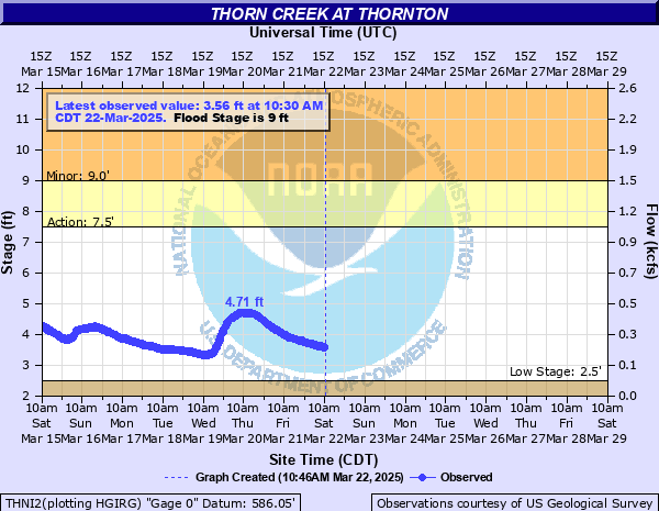
Thorn Creek at Thornton
Critical Stages
7.5' - Action
9' - Flood
14' - Moderate
15.5' - Major
Latest Observation
Updated: 11:00 AM CST 12/6/25
Status: No Flooding
Stage: 2.68 ft
Flow: 0.0254 kcfs
Forecast
Forecast not available for this location.
| Time | Stage (ft) | Flow (kcfs) |
|---|---|---|
| 11:00 AM 12/6 | 2.68 | 0.0254 |
| 10:45 AM 12/6 | 2.69 | 0.0262 |
| 10:30 AM 12/6 | 2.69 | 0.0262 |
| 10:15 AM 12/6 | 2.69 | 0.0262 |
| 10:00 AM 12/6 | 2.69 | 0.0262 |
| 9:45 AM 12/6 | 2.69 | 0.0262 |
| 9:30 AM 12/6 | 2.7 | 0.027 |
| 9:15 AM 12/6 | 2.7 | 0.027 |
| 9:00 AM 12/6 | 2.68 | 0.0254 |
| 8:45 AM 12/6 | 2.7 | 0.027 |
| 8:30 AM 12/6 | 2.69 | 0.0262 |
| 8:15 AM 12/6 | 2.71 | 0.0277 |
| 8:00 AM 12/6 | 2.7 | 0.027 |
| 7:45 AM 12/6 | 2.71 | 0.0277 |
| 7:30 AM 12/6 | 2.69 | 0.0262 |
| 7:15 AM 12/6 | 2.69 | 0.0262 |
| 7:00 AM 12/6 | 2.7 | 0.027 |
| 6:45 AM 12/6 | 2.7 | 0.027 |
| 6:30 AM 12/6 | 2.7 | 0.027 |
| 6:15 AM 12/6 | 2.7 | 0.027 |
| 6:00 AM 12/6 | 2.71 | 0.0277 |
| 5:45 AM 12/6 | 2.72 | 0.0285 |
| 5:30 AM 12/6 | 2.72 | 0.0285 |
| 5:15 AM 12/6 | 2.72 | 0.0285 |
| 5:00 AM 12/6 | 2.71 | 0.0277 |
| 4:45 AM 12/6 | 2.71 | 0.0277 |
| 4:30 AM 12/6 | 2.71 | 0.0277 |
| 4:15 AM 12/6 | 2.71 | 0.0277 |
| 4:00 AM 12/6 | 2.73 | 0.0292 |
| 3:45 AM 12/6 | 2.71 | 0.0277 |
23' -
Chicago & Eastern Illinois Railroad tracks are threatened near Glenwood.
21' -
I-94 may be threatened in South Holland.
20' -
Structures may be threatened along Clyde Avenue, 173rd Street, and 173rd Place in South Holland.
19' -
I-294/I-80 onramps may be threatened west of the creek south of South Holland. Residential structures may be threatened along Everett Avenue, Cregier Avenue, and Vollbrecht Road in South Holland. Clyde Avenue, 173rd Street, and 173rd Place may be threatened in South Holland.
18.5' -
170th Street may be threatened in South Holland. Industrial structures may be threatened along Bernice Road in South Holland.
18' -
Margaret Street threatened in Thornton.
17.5' -
Residential structures may be threatened along Kimbark Avenue, University Avenue, and 173rd Street in South Holland. Everett Avenue, Cregier Avenue, and Vollbrecht Road may be threatened in South Holland.
17' -
Kimbark Avenue, University Avenue, and 173rd Street may be threatened in South Holland. Thorn Creek Diversion Tunnel reaches capacity.
16' -
Residential structures threatened along Margaret Street in Thornton.
15.5' -
Structures threatened at Glenwood Academy. Residences threatened along Park Drive in Glenwood.
15' -
Industrial structures threatened south of Margaret Street in Thornton.
14.5' -
Park Drive threatened in Glenwood. Industrial parking lots threatened south of Margaret Street in Thornton.
13.5' -
Chicago Heights Glenwood Road threatened in Glenwood. Residential parking lots threatened along Maragaret Street in Thornton.
13' -
Parking lots threatened at Glenwood Academy.
12' -
Structures threatened along Glenwood Thornton Road north of Glenwood.
11.5' -
Glenwood Thornton Road threatened north of Glenwood.
11' -
187th Street threatened in Glenwood.
9' -
Water begins to be diverted through Thorn Creek Diversion Tunnel.
8' -
Athletic fields are inundated at Glenwood Academy.
7' -
Water overflows low-lying banks in Glenwood, Thornton, and South Holland.
| Date | Stage (ft) |
|---|---|
| Jun 14, 1981 | 17.06 |
| Nov 28, 1990 | 16.87 |
| Jul 18, 1996 | 16.24 |
| Jul 13, 1957 | 16 |
| Dec 3, 1982 | 15.95 |
| Sep 14, 2008 | 15.89 |
| Apr 17, 2006 | 15.1 |
| Feb 21, 2018 | 14.96 |
| Apr 18, 2013 | 14.87 |
| Jun 1, 1989 | 14.82 |
| Feb 22, 1997 | 14.74 |
| Oct 11, 1954 | 14.7 |
| May 29, 1996 | 14.54 |
| Aug 17, 1968 | 14.43 |
| Jun 7, 1974 | 14.36 |
| Dec 31, 1972 | 14.36 |
| Apr 5, 1947 | 14.34 |
| Sep 28, 2019 | 14.22 |
| May 22, 1982 | 14.21 |
| Dec 25, 1965 | 14.18 |
Data provided by the National Weather Service.