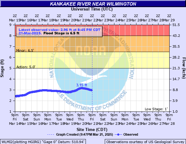
Kankakee River near Wilmington
Critical Stages
5' - Action
6.5' - Flood
8' - Moderate
10' - Major
Latest Observation
Updated: 10:45 AM CST 12/6/25
Status: No Flooding
Stage: 1.26 ft
Flow: 1.56 kcfs
Forecast
Forecast not available for this location.
| Time | Stage (ft) | Flow (kcfs) |
|---|---|---|
| 10:45 AM 12/6 | 1.26 | 1.56 |
| 10:30 AM 12/6 | 1.26 | 1.56 |
| 10:15 AM 12/6 | 1.26 | 1.56 |
| 10:00 AM 12/6 | 1.25 | 1.54 |
| 9:45 AM 12/6 | 1.25 | 1.54 |
| 9:30 AM 12/6 | 1.25 | 1.54 |
| 9:15 AM 12/6 | 1.25 | 1.54 |
| 9:00 AM 12/6 | 1.26 | 1.56 |
| 8:45 AM 12/6 | 1.26 | 1.56 |
| 8:30 AM 12/6 | 1.25 | 1.54 |
| 8:15 AM 12/6 | 1.25 | 1.54 |
| 8:00 AM 12/6 | 1.25 | 1.54 |
| 7:45 AM 12/6 | 1.25 | 1.54 |
| 7:30 AM 12/6 | 1.25 | 1.54 |
| 7:15 AM 12/6 | 1.25 | 1.54 |
| 7:00 AM 12/6 | 1.25 | 1.54 |
| 6:45 AM 12/6 | 1.26 | 1.56 |
| 6:30 AM 12/6 | 1.26 | 1.56 |
| 6:15 AM 12/6 | 1.26 | 1.56 |
| 6:00 AM 12/6 | 1.27 | 1.59 |
| 5:45 AM 12/6 | 1.28 | 1.61 |
| 5:30 AM 12/6 | 1.28 | 1.61 |
| 5:15 AM 12/6 | 1.28 | 1.61 |
| 5:00 AM 12/6 | 1.26 | 1.56 |
| 4:45 AM 12/6 | 1.26 | 1.56 |
| 4:30 AM 12/6 | 1.25 | 1.54 |
| 4:15 AM 12/6 | 1.26 | 1.56 |
| 4:00 AM 12/6 | 1.26 | 1.56 |
| 3:45 AM 12/6 | 1.26 | 1.56 |
| 3:30 AM 12/6 | 1.26 | 1.56 |
16' -
I-55 threatened north of the river northwest of Wilmington.
14' -
IL-113 threatened west of Kankakee near Limestone.
13.5' -
Multiple residences threatened along Water Street in Wilmington. South River Road threatened near I-55 northwest of Wilmington.
13' -
Kankakee Community College threatened. Numerous residences threatened on the south side of the river near downtown Kankakee. Multiple residences threatened along Amber Lane northwest of Wilmington.
12.5' -
Numerous residences threatened along Readman Lane northwest of Wilmington.
12' -
Residences threatened near Potawatamie Trail and Hawkins Drive west of Kankakee. Riverside Hospital property threatened in Kankakee.
11.5' -
Washington Avenue/McMullen Drive threatened in downtown Kankakee. Bradley Water Treatment Plant property threatened.
10.5' -
Residences threatened along River Street in downtown Kankakee. Numerous residences threatened along Cobb Boulevard in eastern Kankakee. A few residences threatened along Water Street and Towpath Lane in Wilmington. Access road threatened at Milliken Lake in Des Plaines Fish and Wildlife Area.
10' -
Water treatment plant in Kankakee is threatened. Multiple businesses and residences threatened along Baltimore Street on Alden Island in Wilmington.
9.5' -
Kennedy Drive threatened near the river and Court Street in Kankakee.
9' -
Structures threatened along Water Street near Jeffers Park in Kankakee. Multiple residences threatened in Aroma Park. A few low-lying structures surrounded by water along Amber Lane, Readman Lane, and Cottage Road northwest of Wilmington. IL-53 threatened in Wilmington.
8.5' -
Widows Road threatened near Wilmington Water Treatment Plant.
8' -
Wilmington Water Treatment Plant property threatened. A few low-lying residences threatened along Widows Road northwest of Wilmington.
7' -
North River Road threatened near the Des Plaines Fish and Wildlife Area. Low-lying sections of Bird Park and Jeffers Park inundated in Kankakee. Roadways and athletic fields threatened at South Island Park and North Island Park inundated in Wilmington.
6.5' -
Roadways threatened at South Island Park in Wilmington.
5' -
Water overtops low-lying banks along the river near Wilmington.
| Date | Stage (ft) |
|---|---|
| Jan 1, 1887 | 16.7 |
| Feb 5, 1883 | 16.7 |
| Jan 30, 1968 | 13.88 |
| Feb 5, 2019 | 13.18 |
| Feb 25, 1985 | 12.83 |
| Jan 21, 1974 | 12.78 |
| Mar 8, 1979 | 12.07 |
| Jan 26, 2008 | 12 |
| Dec 17, 1972 | 11.76 |
| Feb 1, 1949 | 11.57 |
| Jul 13, 1957 | 11.4 |
| Mar 3, 1950 | 11.39 |
| Feb 10, 1965 | 10.94 |
| Feb 19, 1951 | 10.83 |
| Dec 28, 1990 | 10.41 |
| Feb 16, 1967 | 10.08 |
| Feb 6, 1943 | 10.06 |
| Jan 9, 1958 | 9.92 |
| Dec 19, 1985 | 9.79 |
| Jan 10, 2017 | 9.72 |
Data provided by the National Weather Service.