« Back to Overhill Lake Rivers
James River (VA) at Richmond-Westham
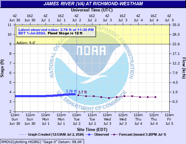
Critical Stages
9' - Action
12' - Flood
15' - Moderate
22' - Major
Latest Observation
Updated: 10:30 PM EST 12/5/25
Status: No Flooding
Stage: 4.05 ft
Flow: 1.96 kcfs
Forecast
| Time | Stage (ft) | Flow (kcfs) |
|---|---|---|
| 1 AM 12/6 | 4.1 | 2.07 |
| 7 AM 12/6 | 4 | 1.85 |
| 1 PM 12/6 | 4 | 1.85 |
| 7 PM 12/6 | 4 | 1.85 |
| 1 AM 12/7 | 4.1 | 2.07 |
| 7 AM 12/7 | 4.1 | 2.07 |
| 1 PM 12/7 | 4.1 | 2.07 |
| 7 PM 12/7 | 4.1 | 2.07 |
| 1 AM 12/8 | 4.1 | 2.07 |
| 7 AM 12/8 | 4.1 | 2.07 |
| Time | Stage (ft) | Flow (kcfs) |
|---|---|---|
| 10:30 PM 12/5 | 4.05 | 1.96 |
| 10:15 PM 12/5 | 4.05 | 1.96 |
| 10:00 PM 12/5 | 4.05 | 1.96 |
| 9:45 PM 12/5 | 4.05 | 1.96 |
| 9:30 PM 12/5 | 4.05 | 1.96 |
| 9:15 PM 12/5 | 4.05 | 1.96 |
| 9:00 PM 12/5 | 4.05 | 1.96 |
| 8:45 PM 12/5 | 4.05 | 1.96 |
| 8:30 PM 12/5 | 4.05 | 1.96 |
| 8:15 PM 12/5 | 4.05 | 1.96 |
| 8:00 PM 12/5 | 4.05 | 1.96 |
| 7:45 PM 12/5 | 4.05 | 1.96 |
| 7:30 PM 12/5 | 4.05 | 1.96 |
| 7:15 PM 12/5 | 4.05 | 1.96 |
| 7:00 PM 12/5 | 4.05 | 1.96 |
| 6:45 PM 12/5 | 4.05 | 1.96 |
| 6:30 PM 12/5 | 4.05 | 1.96 |
| 6:15 PM 12/5 | 4.05 | 1.96 |
| 6:00 PM 12/5 | 4.05 | 1.96 |
| 5:45 PM 12/5 | 4.05 | 1.96 |
| 5:30 PM 12/5 | 4.05 | 1.96 |
| 5:15 PM 12/5 | 4.05 | 1.96 |
| 5:00 PM 12/5 | 4.05 | 1.96 |
| 4:45 PM 12/5 | 4.05 | 1.96 |
| 4:30 PM 12/5 | 4.04 | 1.93 |
| 4:15 PM 12/5 | 4.04 | 1.93 |
| 4:00 PM 12/5 | 4.04 | 1.93 |
| 3:45 PM 12/5 | 4.04 | 1.93 |
| 3:30 PM 12/5 | 4.04 | 1.93 |
| 3:15 PM 12/5 | 4.04 | 1.93 |
32' -
River stage sensor operating limit
28.62' -
Flood of record during Hurricane Agnes.
27' -
Near record flooding begins.
23' -
Richmond City Water Filtration Plant endangered.
22' -
Major flooding begins. Downstream industries, shops and streets along the riverfront are flooded at and above this level.
18.2' -
CSX Railroad tracks flooded.
17' -
Water infiltrates several homes near the gage, downstream of the Huguenot Bridge.
16' -
Water is getting into the parking lot at Huguenot Flatwater Park and Pony Pasture. Additionally, portions of the Willow Oaks County Club is flooded. Sections of Riverside Drive are closed due to flooding.
15' -
Begin moderate flooding. Residences near gage threatened by flood waters.
14' -
Portions of Riverside Drive begin to flood.
13.5' -
Portions of Huguenot Flatwater park begin to flood.
13' -
Approximately 20 acres of lowland flooded in vicinity of gage.
12' -
Flood stage. Minor flooding along both banks. No damage at this level.
| Date | Stage (ft) |
|---|---|
| Jun 23, 1972 | 28.62 |
| Aug 21, 1969 | 24.95 |
| Nov 7, 1985 | 24.77 |
| Mar 19, 1936 | 23.42 |
| Apr 27, 1937 | 22.65 |
| Apr 18, 1987 | 21.91 |
| Sep 20, 1944 | 21.8 |
| Aug 18, 1940 | 21.8 |
| Oct 7, 1972 | 21.76 |
| Sep 8, 1996 | 21.23 |
| Sep 7, 1935 | 21.01 |
| Dec 5, 1948 | 20.9 |
| Jan 21, 1996 | 20.63 |
| Feb 27, 1979 | 20.38 |
| Mar 21, 1975 | 20.08 |
| Oct 17, 1942 | 19.8 |
| Jan 28, 1978 | 19.36 |
| Apr 24, 1992 | 19.24 |
| Dec 3, 1934 | 19.08 |
| Mar 6, 1993 | 18.87 |
Data provided by the National Weather Service.