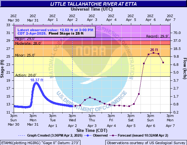
Little Tallahatchie River at Etta
Critical Stages
20' - Action
25' - Flood
28' - Moderate
29' - Major
Latest Observation
Updated: 8:00 PM CST 12/6/25
Status: No Flooding
Stage: 10.82 ft
Flow: 0.142 kcfs
Forecast
| Time | Stage (ft) | Flow (kcfs) |
|---|---|---|
| 12 AM 12/7 | 10.8 | 0.138 |
| 6 AM 12/7 | 10.7 | 0.121 |
| 12 PM 12/7 | 10.7 | 0.121 |
| 6 PM 12/7 | 10.7 | 0.121 |
| 12 AM 12/8 | 10.7 | 0.121 |
| 6 AM 12/8 | 10.7 | 0.121 |
| 12 PM 12/8 | 10.7 | 0.121 |
| 6 PM 12/8 | 10.7 | 0.121 |
| 12 AM 12/9 | 10.7 | 0.121 |
| 6 AM 12/9 | 10.7 | 0.121 |
| 12 PM 12/9 | 10.7 | 0.121 |
| 6 PM 12/9 | 10.7 | 0.121 |
| 12 AM 12/10 | 10.7 | 0.121 |
| 6 AM 12/10 | 10.7 | 0.121 |
| 12 PM 12/10 | 10.7 | 0.121 |
| 6 PM 12/10 | 10.7 | 0.121 |
| 12 AM 12/11 | 10.6 | 0.105 |
| 6 AM 12/11 | 10.6 | 0.105 |
| Time | Stage (ft) | Flow (kcfs) |
|---|---|---|
| 9:00 PM 12/6 | 10.81 | 0.14 |
| 8:45 PM 12/6 | 10.81 | 0.14 |
| 8:30 PM 12/6 | 10.82 | 0.142 |
| 8:15 PM 12/6 | 10.82 | 0.142 |
| 8:00 PM 12/6 | 10.82 | 0.142 |
| 7:45 PM 12/6 | 10.82 | 0.142 |
| 7:30 PM 12/6 | 10.83 | 0.144 |
| 7:15 PM 12/6 | 10.83 | 0.144 |
| 7:00 PM 12/6 | 10.83 | 0.144 |
| 6:45 PM 12/6 | 10.83 | 0.144 |
| 6:30 PM 12/6 | 10.84 | 0.146 |
| 6:15 PM 12/6 | 10.84 | 0.146 |
| 6:00 PM 12/6 | 10.84 | 0.146 |
| 5:45 PM 12/6 | 10.84 | 0.146 |
| 5:30 PM 12/6 | 10.84 | 0.146 |
| 5:15 PM 12/6 | 10.84 | 0.146 |
| 5:00 PM 12/6 | 10.85 | 0.148 |
| 4:45 PM 12/6 | 10.85 | 0.148 |
| 4:30 PM 12/6 | 10.85 | 0.148 |
| 4:15 PM 12/6 | 10.85 | 0.148 |
| 4:00 PM 12/6 | 10.86 | 0.15 |
| 3:45 PM 12/6 | 10.86 | 0.15 |
| 3:30 PM 12/6 | 10.87 | 0.152 |
| 3:15 PM 12/6 | 10.87 | 0.152 |
| 3:00 PM 12/6 | 10.87 | 0.152 |
| 2:45 PM 12/6 | 10.88 | 0.154 |
| 2:30 PM 12/6 | 10.88 | 0.154 |
| 2:15 PM 12/6 | 10.88 | 0.154 |
| 2:00 PM 12/6 | 10.89 | 0.156 |
| 1:45 PM 12/6 | 10.89 | 0.156 |
29' -
The post office, businesses, and homes in the low-lying areas near the river in New Albany are flooded. Several homes along County Road 46 are flooded. Flood water is covering County Roads 46 and 47. Flood waters are approaching the level of State Road 355 near Etta.
28' -
Cropland flooding is very extensive and water begins to cover County Road 46. County Road 47 has 1 to 2 feet of water over the unpaved portions. Evacuations become necessary due to access problems.
26' -
County Road 47 near Mud Creek and Mill Creek has 6 to 12 inches of water over it. Several thousand acres of cropland are flooded.
25' -
Extensive cropland flooding is occurring, mainly between State Highway 30 and County Road 46. Water is beginning to cover the unpaved portion of Union County Road 47 near Mud Creek.
24' -
Widespread farmland flooding is beginning. Small tributary streams are causing backwater flooding between New Albany and State Highway 30.
20' -
Unprotected lowland along the river in western Union County is flooded.
| Date | Stage (ft) |
|---|---|
| Feb 23, 2019 | 31.17 |
| May 3, 2010 | 29.85 |
| Nov 30, 2001 | 29.41 |
| Dec 2, 1991 | 29.27 |
| May 19, 1983 | 29.02 |
| Apr 5, 2002 | 28.39 |
| Dec 8, 2004 | 28.36 |
| Jul 4, 2015 | 28.33 |
| Dec 4, 1983 | 28.18 |
| Feb 4, 1990 | 28.01 |
| Dec 10, 2008 | 27.83 |
| Jun 18, 1997 | 27.7 |
| Mar 16, 1973 | 27.54 |
| May 7, 1978 | 27.09 |
| Apr 12, 1979 | 26.85 |
| Apr 12, 2013 | 26.75 |
| Jan 13, 1989 | 26.75 |
| May 18, 2003 | 26.61 |
| Mar 30, 1975 | 26.56 |
| Apr 23, 1996 | 26.36 |
Data provided by the National Weather Service.