« Back to Parkview Recreation Center Rivers
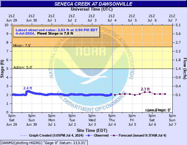
Seneca Creek at Dawsonville
Critical Stages
5' - Action
7.5' - Flood
11' - Moderate
16' - Major
Latest Observation
Updated: 7:50 AM EST 12/6/25
Status: No Flooding
Stage: 2.02 ft
Flow: 0.0532 kcfs
Forecast
| Time | Stage (ft) | Flow (kcfs) |
|---|---|---|
| 1 PM 12/6 | 2 | 0.05 |
| 7 PM 12/6 | 2 | 0.05 |
| 1 AM 12/7 | 2 | 0.05 |
| 7 AM 12/7 | 2 | 0.05 |
| 1 PM 12/7 | 2 | 0.05 |
| 7 PM 12/7 | 2 | 0.05 |
| 1 AM 12/8 | 2 | 0.05 |
| 7 AM 12/8 | 2 | 0.05 |
| Time | Stage (ft) | Flow (kcfs) |
|---|---|---|
| 7:50 AM 12/6 | 2.02 | 0.0532 |
| 7:45 AM 12/6 | 2.03 | 0.0549 |
| 7:40 AM 12/6 | 2.03 | 0.0549 |
| 7:35 AM 12/6 | 2.03 | 0.0549 |
| 7:30 AM 12/6 | 2.03 | 0.0549 |
| 7:25 AM 12/6 | 2.03 | 0.0549 |
| 7:20 AM 12/6 | 2.03 | 0.0549 |
| 7:15 AM 12/6 | 2.04 | 0.0566 |
| 7:10 AM 12/6 | 2.04 | 0.0566 |
| 7:05 AM 12/6 | 2.04 | 0.0566 |
| 7:00 AM 12/6 | 2.04 | 0.0566 |
| 6:55 AM 12/6 | 2.04 | 0.0566 |
| 6:50 AM 12/6 | 2.04 | 0.0566 |
| 6:45 AM 12/6 | 2.04 | 0.0566 |
| 6:40 AM 12/6 | 2.04 | 0.0566 |
| 6:35 AM 12/6 | 2.04 | 0.0566 |
| 6:30 AM 12/6 | 2.04 | 0.0566 |
| 6:25 AM 12/6 | 2.05 | 0.0584 |
| 6:20 AM 12/6 | 2.05 | 0.0584 |
| 6:15 AM 12/6 | 2.05 | 0.0584 |
| 6:10 AM 12/6 | 2.05 | 0.0584 |
| 6:05 AM 12/6 | 2.05 | 0.0584 |
| 6:00 AM 12/6 | 2.05 | 0.0584 |
| 5:55 AM 12/6 | 2.05 | 0.0584 |
| 5:50 AM 12/6 | 2.05 | 0.0584 |
| 5:45 AM 12/6 | 2.06 | 0.0602 |
| 5:40 AM 12/6 | 2.06 | 0.0602 |
| 5:35 AM 12/6 | 2.06 | 0.0602 |
| 5:30 AM 12/6 | 2.06 | 0.0602 |
| 5:25 AM 12/6 | 2.06 | 0.0602 |
34' -
Water covers the Route 28 bridge near Dawsonville.
21' -
Water reaches the parking lot off Route 28 for Seneca Creek State Park.
16' -
Numerous roads are flooded near Seneca Creek. The exact roads affected will depend on which portion of the basin received the heaviest rainfall.
14' -
Water reaches the instrumentation inside the gage house. Automated reports from this location will likely be unavailable above this level.
11' -
Water from the creek enters the gage house. Reports from this location may become sporadic. Multiple roads are flooded, and water is also reaching the first floor of Old Black Rock Mill.
7.5' -
Portions of the Seneca Creek Greenway are flooded. A small portion of Berryville Road west of Darnestown begins to flood.
5' -
Water begins to overflow the banks underneath the route 28 bridge. Users of the seneca creek greenway should seek higher ground at these levels.
| Date | Stage (ft) |
|---|---|
| Jun 22, 1972 | 16.4 |
| Sep 12, 1971 | 16.32 |
| Sep 9, 2011 | 15.78 |
| Sep 6, 1979 | 12.69 |
| Sep 26, 1975 | 12.67 |
| Jul 21, 1956 | 12.17 |
| Jul 8, 2019 | 11.73 |
| Jan 31, 2013 | 11.35 |
| Oct 30, 2012 | 11.13 |
| Jun 18, 1996 | 11.01 |
| Oct 1, 1979 | 10.95 |
| May 16, 2014 | 10.94 |
| Jul 22, 2018 | 10.82 |
| Jan 31, 2013 | 10.8 |
| May 1, 2014 | 10.61 |
| Sep 23, 2003 | 10.52 |
| Jan 19, 1996 | 10.41 |
| Dec 11, 2003 | 10.4 |
| Nov 28, 1993 | 10.37 |
| Aug 24, 1933 | 10.3 |
Data provided by the National Weather Service.