« Back to Parkview Recreation Center Rivers
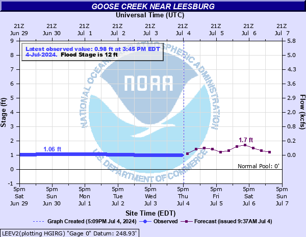
Goose Creek near Leesburg
Critical Stages
10' - Action
12' - Flood
15' - Moderate
18' - Major
Latest Observation
Updated: 7:45 AM EST 12/6/25
Status: No Flooding
Stage: 1.4 ft
Flow: 0.026 kcfs
Forecast
| Time | Stage (ft) | Flow (kcfs) |
|---|---|---|
| 1 PM 12/6 | 1.5 | 0.039 |
| 7 PM 12/6 | 1.5 | 0.039 |
| 1 AM 12/7 | 1.7 | 0.077 |
| 7 AM 12/7 | 1.8 | 0.103 |
| 1 PM 12/7 | 1.6 | 0.055 |
| 7 PM 12/7 | 1.6 | 0.055 |
| 1 AM 12/8 | 1.5 | 0.039 |
| 7 AM 12/8 | 1.5 | 0.039 |
| Time | Stage (ft) | Flow (kcfs) |
|---|---|---|
| 7:45 AM 12/6 | 1.4 | 0.026 |
| 7:30 AM 12/6 | 1.4 | 0.026 |
| 7:15 AM 12/6 | 1.4 | 0.026 |
| 7:00 AM 12/6 | 1.4 | 0.026 |
| 6:45 AM 12/6 | 1.4 | 0.026 |
| 6:30 AM 12/6 | 1.41 | 0.0271 |
| 6:15 AM 12/6 | 1.41 | 0.0271 |
| 6:00 AM 12/6 | 1.41 | 0.0271 |
| 5:45 AM 12/6 | 1.41 | 0.0271 |
| 5:30 AM 12/6 | 1.41 | 0.0271 |
| 5:15 AM 12/6 | 1.41 | 0.0271 |
| 5:00 AM 12/6 | 1.41 | 0.0271 |
| 4:45 AM 12/6 | 1.41 | 0.0271 |
| 4:30 AM 12/6 | 1.41 | 0.0271 |
| 4:15 AM 12/6 | 1.41 | 0.0271 |
| 4:00 AM 12/6 | 1.41 | 0.0271 |
| 3:45 AM 12/6 | 1.41 | 0.0271 |
| 3:30 AM 12/6 | 1.41 | 0.0271 |
| 3:15 AM 12/6 | 1.41 | 0.0271 |
| 3:00 AM 12/6 | 1.41 | 0.0271 |
| 2:45 AM 12/6 | 1.42 | 0.0283 |
| 2:30 AM 12/6 | 1.42 | 0.0283 |
| 2:15 AM 12/6 | 1.42 | 0.0283 |
| 2:00 AM 12/6 | 1.42 | 0.0283 |
| 1:45 AM 12/6 | 1.42 | 0.0283 |
| 1:30 AM 12/6 | 1.42 | 0.0283 |
| 1:15 AM 12/6 | 1.42 | 0.0283 |
| 1:00 AM 12/6 | 1.42 | 0.0283 |
| 12:45 AM 12/6 | 1.42 | 0.0283 |
| 12:30 AM 12/6 | 1.42 | 0.0283 |
23' -
Highway 15, Evergreen Mills Road, and Lime Kiln Road are all flooded. Tributary flooding strands residents near Oatlands Mill.
20' -
Highway 15 is flooded south of Leesburg.
18' -
Water threatens several homes south of Leesburg. Highway 15 will likely have to be closed.
16' -
Water reaches Highway 15 near the intersection with Oatlands Mill Road.
15' -
Water approaches a home near Highway 15 south of Leesburg.
14' -
Water approaches low spots along State Route 733, Lime Kiln Road. Water is in the backyards of homes near Highway 15, and reaches the underside of two low bridges over the creek at Crooked Bridge Lane.
13' -
Water reaches backyards near Highway 15 south of Leesburg. A low spot on State Route 650, Oatlands Road, is flooded.
12' -
The creek overflows its banks near Oatlands, south of Leesburg. Backwater flooding begins to affect a low spot on State Route 650, Oatlands Road.
11' -
The creek reaches bankfull. Some minor overbank flooding is occurring between Middleburg and Oatlands.
10' -
Water begins to overflow the banks near Evergreen Mill into nearby fields.
| Date | Stage (ft) |
|---|---|
| Jun 22, 1972 | 30.59 |
| Jun 1, 1889 | 29 |
| Aug 26, 1937 | 26.86 |
| Oct 9, 1976 | 25.74 |
| Sep 23, 2003 | 23.32 |
| Oct 16, 1942 | 22.9 |
| Aug 23, 1933 | 21.6 |
| Jul 21, 1956 | 20.9 |
| Jan 20, 1996 | 20.11 |
| Sep 24, 1912 | 20 |
| Oct 30, 2012 | 19.82 |
| Dec 11, 1992 | 19.04 |
| May 12, 2008 | 18.9 |
| Dec 2, 1974 | 18.84 |
| May 13, 1932 | 18.45 |
| Dec 4, 1950 | 18.25 |
| Jan 31, 2013 | 18.24 |
| Sep 18, 1945 | 18 |
| Mar 21, 1998 | 17.43 |
| Dec 11, 2003 | 17.31 |
Data provided by the National Weather Service.