Platte River near Platte City
Critical Stages
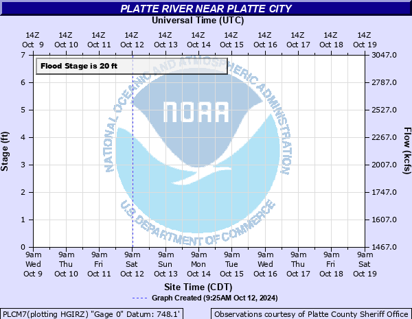
17' - Action
20' - Flood
25' - Moderate
29' - Major
Latest Observation
Updated: 6:09 PM LMT 12/31/00
Status: Obs Not Current
Stage: -999 ft
Flow: -999 kcfs
Forecast
Forecast not available for this location.
Observation history not available.
31' -
The Schimmel City Access Area north of Farley, Missouri is under water.
29' -
State Highway 92 at Tracy is overtopped.
25' -
Water overtops 1st Street in Tracy, Missouri.
22' -
Flooding occurs at Humphreys Access Area which is located 5 miles downstream from Platte City. 300 acres of pasture are also flooded.
20' -
Cropland near State Highway 92 near Platte City begins to flood.
| Date | Stage (ft) |
|---|---|
| Jul 22, 1965 | 37.79 |
| May 20, 1974 | 34 |
| May 10, 2007 | 32.5 |
| Jun 23, 1964 | 32.06 |
| Jul 27, 1993 | 32 |
| Jun 12, 1984 | 31.5 |
| Jun 2, 2019 | 31.18 |
| May 31, 1982 | 31 |
| Jun 28, 2021 | 29.6 |
| Jun 11, 1982 | 29 |
| Aug 14, 1982 | 28.5 |
| Jun 16, 2008 | 28.2 |
| Oct 8, 1998 | 28.05 |
| May 1, 2009 | 28 |
| May 28, 1995 | 28 |
| Oct 13, 1985 | 28 |
| Jun 19, 2010 | 27.9 |
| Apr 24, 1992 | 27.7 |
| May 30, 1996 | 27.450000762939 |
| May 16, 2010 | 27.34 |
Data provided by the National Weather Service.