Kansas River at Turner Bridge
Critical Stages
37' - Action
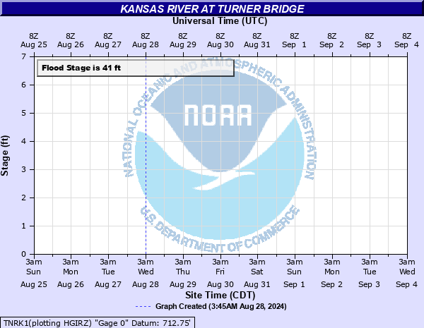
41' - Flood
47.5' - Moderate
54' - Major
Latest Observation
Updated: 6:09 PM LMT 12/31/00
Status: Out Of Service
Stage: -999 ft
Flow: -999 kcfs
Forecast
Forecast not available for this location.
Observation history not available.
53.6' -
State Highway 32 from 78th Street to Turner Diagonal is under water.
52.5' -
State Highway 32 from Interstate 435 to 78th Street floods.
49.7' -
Water covers Woodend Road, west of Interstate 435 near Edwardsville, Kansas.
47.5' -
Flooding in the vicinity of 57th Street and Kaw Drive results in the closure of 57th Street and the ramps to Interstate 70.
41' -
Flooding of low-lying areas along the river occurs.
| Date | Stage (ft) |
|---|---|
| Jul 27, 1993 | 53.64 |
| May 8, 2007 | 43.45 |
Data provided by the National Weather Service.