« Back to Pilot Station Rivers
Yukon River at Pilot Station
Critical Stages
Action
Flood
Moderate
Major
Latest Observation
Updated: 2:00 PM LMT 1/1/01
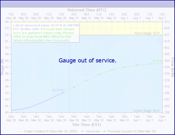
Status: Out Of Service
Stage: -999 ft
Flow: -999 kcfs
Forecast
Forecast not available for this location.
| Time | Stage (ft) | Flow (kcfs) |
|---|---|---|
| 8:00 PM 12/14 | -9999 | -999 |
| 7:45 PM 12/14 | -9999 | -999 |
| 7:30 PM 12/14 | -9999 | -999 |
| 7:15 PM 12/14 | -9999 | -999 |
| 7:00 PM 12/14 | -9999 | -999 |
| 6:45 PM 12/14 | -9999 | -999 |
| 6:30 PM 12/14 | -9999 | -999 |
| 6:15 PM 12/14 | -9999 | -999 |
| 6:00 PM 12/14 | -9999 | -999 |
| 5:45 PM 12/14 | -9999 | -999 |
| 5:30 PM 12/14 | -9999 | -999 |
| 5:15 PM 12/14 | -9999 | -999 |
| 5:00 PM 12/14 | -9999 | -999 |
| 4:45 PM 12/14 | -9999 | -999 |
| 4:30 PM 12/14 | -9999 | -999 |
| 4:15 PM 12/14 | -9999 | -999 |
| 4:00 PM 12/14 | -9999 | -999 |
| 3:45 PM 12/14 | -9999 | -999 |
| 3:30 PM 12/14 | -9999 | -999 |
| 3:15 PM 12/14 | -9999 | -999 |
| 3:00 PM 12/14 | -9999 | -999 |
| 2:45 PM 12/14 | -9999 | -999 |
| 2:30 PM 12/14 | -9999 | -999 |
| 2:15 PM 12/14 | -9999 | -999 |
| 2:00 PM 12/14 | -9999 | -999 |
| 1:45 PM 12/14 | -9999 | -999 |
| 1:30 PM 12/14 | -9999 | -999 |
| 1:15 PM 12/14 | -9999 | -999 |
| 1:00 PM 12/14 | -9999 | -999 |
| 12:45 PM 12/14 | -9999 | -999 |
36.25' -
Breakup Flood Event. May 25 1989. Based on the USGS river gage 0.2 miles downstream from the community.
32.7' -
Elevation of 1985 flood.Based on the USGS river gage 0.2 miles downstream from the community.
31.85' -
Typical top of bank.Based on the USGS river gage 0.2 miles downstream from the community.
30.09' -
Elevation of 1977 flood.Based on the USGS river gage 0.2 miles downstream from the community.
27.6' -
Return period is 25 years or 1060000 cfs.
26.9' -
Return period is 5 years or 839000 cfs
| Date | Stage (ft) |
|---|---|
| May 27, 1989 | 36.2 |
| Jun 1, 1985 | 32.7 |
| May 23, 2008 | 30.69 |
| May 27, 2023 | 30.57 |
| May 24, 2009 | 30.23 |
| May 23, 1976 | 30.2 |
| May 27, 1977 | 30.09 |
| May 14, 1995 | 29.66 |
| May 13, 2005 | 29.48 |
| May 23, 2012 | 29.13 |
| May 28, 2006 | 28.7 |
| May 1, 1982 | 28.6 |
| May 21, 2010 | 28.07 |
| May 16, 2005 | 27.83 |
| May 27, 1991 | 27.47 |
| May 15, 2020 | 27.46 |
| Jun 21, 1992 | 27.38 |
| May 17, 2020 | 27.26 |
| Jun 25, 2001 | 27.09 |
| May 28, 2002 | 27.03 |
Data provided by the National Weather Service.