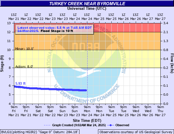
Turkey Creek near Byromville
Critical Stages
8' - Action
10' - Flood
12' - Moderate
15' - Major
Latest Observation
Updated: 5:45 AM EST 12/16/25
Status: No Flooding
Stage: 4.67 ft
Flow: 0.0124 kcfs
Forecast
Forecast not available for this location.
| Time | Stage (ft) | Flow (kcfs) |
|---|---|---|
| 5:45 AM 12/16 | 4.67 | 0.0124 |
| 5:30 AM 12/16 | 4.67 | 0.0124 |
| 5:15 AM 12/16 | 4.67 | 0.0124 |
| 5:00 AM 12/16 | 4.67 | 0.0124 |
| 4:45 AM 12/16 | 4.67 | 0.0124 |
| 4:30 AM 12/16 | 4.68 | 0.0126 |
| 4:15 AM 12/16 | 4.68 | 0.0126 |
| 4:00 AM 12/16 | 4.68 | 0.0126 |
| 3:45 AM 12/16 | 4.68 | 0.0126 |
| 3:30 AM 12/16 | 4.69 | 0.0128 |
| 3:15 AM 12/16 | 4.7 | 0.013 |
| 3:00 AM 12/16 | 4.7 | 0.013 |
| 2:45 AM 12/16 | 4.7 | 0.013 |
| 2:30 AM 12/16 | 4.7 | 0.013 |
| 2:15 AM 12/16 | 4.7 | 0.013 |
| 2:00 AM 12/16 | 4.7 | 0.013 |
| 1:45 AM 12/16 | 4.7 | 0.013 |
| 1:30 AM 12/16 | 4.7 | 0.013 |
| 1:15 AM 12/16 | 4.7 | 0.013 |
| 1:00 AM 12/16 | 4.7 | 0.013 |
| 12:45 AM 12/16 | 4.7 | 0.013 |
| 12:30 AM 12/16 | 4.7 | 0.013 |
| 12:15 AM 12/16 | 4.7 | 0.013 |
| 12:00 AM 12/16 | 4.69 | 0.0128 |
| 11:45 PM 12/15 | 4.69 | 0.0128 |
| 11:30 PM 12/15 | 4.69 | 0.0128 |
| 11:15 PM 12/15 | 4.68 | 0.0126 |
| 11:00 PM 12/15 | 4.68 | 0.0126 |
| 10:45 PM 12/15 | 4.68 | 0.0126 |
| 10:30 PM 12/15 | 4.67 | 0.0124 |
17' -
Record flooding expands with a few feet of water covering Georgia Highway 90 and the level reaches the top of the bridge. The bridge will be closed and the USGS gage house will be under water.
15' -
Major flooding begins with several inches of water covering Georgia Highway 90 near the stream gage on Georgia Highway 90. The bridge forms an obstacle and acts like a dam causing some backwater and erosion eddies to the sides of the bridge. The bridge will be closed. The water reaches the bottom of the USGS gage house and automated stage readings are unlikely. This level would exceed the record set during Tropical Storm Alberto in 1995.
14' -
Moderate flooding expands into the woodland areas upstream and downstream from the stream gage on Georgia Highway 90. The bridge begins to form an obstacle and act like a dam causing some backwater and erosion eddies to the sides of the bridge. The bridge will likely be closed. This level is near the record set during Tropical Storm Alberto in 1995.
13' -
Moderate flooding expands into the woodland areas upstream and downstream from the stream gage on Georgia Highway 90. The bridge begins to form an obstacle and act like a dam causing some backwater and erosion eddies to the sides of the bridge. The bridge may become closed.
12' -
Moderate flooding begins. Widespread flooding expands into the woodlands upstream and downstream of the stream gage on Georgia Highway 90. Creek access roads will be flooded and the water level reaches the bottom of the bridge. The bridge may become closed.
11' -
Minor flooding expands into the woodland areas upstream and downstream from the stream gage on Georgia Highway 90. Larger portions of creek access roads will flood.
10' -
Flood stage is reached. Minor flooding of woodlands occurs upstream and downstream from the stream gage on Georgia Highway 90. Portions of creek access roads and low lying areas will begin to flood.
8' -
Bankfull conditions are reached upstream and downstream from the stream gage on Georgia Highway 90.
| Date | Stage (ft) |
|---|---|
| Jul 6, 1994 | 14.29 |
| Apr 1, 1981 | 13.82 |
| Mar 31, 1970 | 13.3 |
| Mar 9, 1998 | 12.78 |
| Jan 13, 1972 | 12.54 |
| May 15, 1976 | 12.35 |
| Mar 4, 1966 | 12.26 |
| Sep 22, 2009 | 12.23 |
| Sep 27, 2004 | 12.21 |
| Mar 5, 2020 | 11.8 |
| Feb 21, 2020 | 11.74 |
| Jan 30, 2010 | 11.62 |
| Feb 7, 2020 | 11.6 |
| Jan 31, 2023 | 11.44 |
| Dec 15, 2009 | 11.33 |
| Jan 22, 2010 | 11.21 |
| Mar 10, 2024 | 11.03 |
| Feb 26, 2015 | 10.96 |
| Apr 24, 2020 | 10.8 |
| Feb 5, 2011 | 10.77 |
Data provided by the National Weather Service.