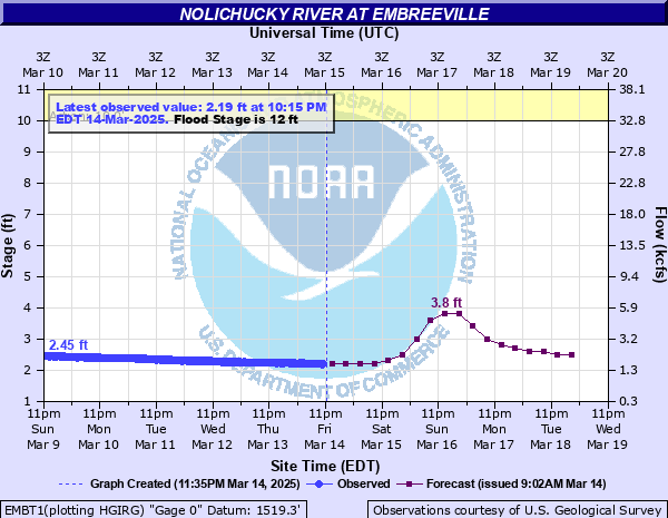
Nolichucky River at Embreeville
Critical Stages
10' - Action
12' - Flood
16' - Moderate
20' - Major
Latest Observation
Updated: 9:30 AM EST 12/6/25
Status: No Flooding
Stage: 1.81 ft
Flow: 0.803 kcfs
Forecast
| Time | Stage (ft) | Flow (kcfs) |
|---|---|---|
| 1 PM 12/6 | 1.7 | 0.734 |
| 7 PM 12/6 | 1.7 | 0.734 |
| 1 AM 12/7 | 1.6 | 0.683 |
| 7 AM 12/7 | 1.6 | 0.683 |
| 1 PM 12/7 | 1.6 | 0.683 |
| 7 PM 12/7 | 1.6 | 0.683 |
| 1 AM 12/8 | 1.6 | 0.683 |
| 7 AM 12/8 | 1.6 | 0.683 |
| 1 PM 12/8 | 1.6 | 0.683 |
| 7 PM 12/8 | 1.6 | 0.683 |
| 1 AM 12/9 | 1.6 | 0.683 |
| 7 AM 12/9 | 1.6 | 0.683 |
| 1 PM 12/9 | 1.6 | 0.683 |
| 7 PM 12/9 | 1.6 | 0.683 |
| 1 AM 12/10 | 1.6 | 0.683 |
| 7 AM 12/10 | 1.6 | 0.683 |
| 1 PM 12/10 | 1.6 | 0.683 |
| 7 PM 12/10 | 1.6 | 0.683 |
| 1 AM 12/11 | 1.6 | 0.683 |
| 7 AM 12/11 | 1.6 | 0.683 |
| Time | Stage (ft) | Flow (kcfs) |
|---|---|---|
| 9:30 AM 12/6 | 1.81 | 0.803 |
| 9:15 AM 12/6 | 1.8 | 0.796 |
| 9:00 AM 12/6 | 1.81 | 0.803 |
| 8:45 AM 12/6 | 1.82 | 0.811 |
| 8:30 AM 12/6 | 1.8 | 0.796 |
| 8:15 AM 12/6 | 1.82 | 0.811 |
| 8:00 AM 12/6 | 1.81 | 0.803 |
| 7:45 AM 12/6 | 1.82 | 0.811 |
| 7:30 AM 12/6 | 1.82 | 0.811 |
| 7:15 AM 12/6 | 1.82 | 0.811 |
| 7:00 AM 12/6 | 1.81 | 0.803 |
| 6:45 AM 12/6 | 1.82 | 0.811 |
| 6:30 AM 12/6 | 1.82 | 0.811 |
| 6:15 AM 12/6 | 1.83 | 0.819 |
| 6:00 AM 12/6 | 1.83 | 0.819 |
| 5:45 AM 12/6 | 1.82 | 0.811 |
| 5:30 AM 12/6 | 1.83 | 0.819 |
| 5:15 AM 12/6 | 1.82 | 0.811 |
| 5:00 AM 12/6 | 1.84 | 0.827 |
| 4:45 AM 12/6 | 1.83 | 0.819 |
| 4:30 AM 12/6 | 1.82 | 0.811 |
| 4:15 AM 12/6 | 1.84 | 0.827 |
| 4:00 AM 12/6 | 1.83 | 0.819 |
| 3:45 AM 12/6 | 1.84 | 0.827 |
| 3:30 AM 12/6 | 1.83 | 0.819 |
| 3:15 AM 12/6 | 1.82 | 0.811 |
| 3:00 AM 12/6 | 1.83 | 0.819 |
| 2:45 AM 12/6 | 1.82 | 0.811 |
| 2:30 AM 12/6 | 1.82 | 0.811 |
| 2:15 AM 12/6 | 1.81 | 0.803 |
33.88' -
Flood of record from the 2024 Helene event, as established by high water marks.
24' -
Previous Flood of Record from 1901.
21.5' -
A Bumpus Cove Road resident reported that the 1977 flood was said to have gotten into the house she lives in, which sits on a concrete slab, while it did not get into the house next door, which sits two feet higher atop a crawl space. This is a source of uncertainty of impacts at this location and its relation to gauge measurements downstream near the bridge and any effects of damming the bridge may cause near the gauge. These homes were destroyed by Helene flooding; perhaps some may be rebuilt.
18' -
Water might threaten the lowest of a row of riverside homes along Bumpus Cove Road a half mile upstream from the bridge. Flows this high contain increasing uncertainty as to how the gauge readings downstream near the bridge are reflective of stream heights and impacts along Bumpus Cove Road. These homes were destroyed by Helene flooding; perhaps some may be rebuilt.
17' -
Low spots along Hwy 107 between Embreeville and Erwin might flood.
16' -
Water reaches the pad of the train car at KOA Campground. This campground was destructively impacted by Helene flooding; perhaps it will be restored.
14' -
Back yards of riverside homes along Bumpus Cove Road take substantial water. These homes were destroyed by Helene flooding; perhaps some may be rebuilt.
13' -
Portions of AJ Willis Road will flood.
12' -
Pasture land around the Highway 107 bridge floods. The channel narrows at the bridge just downstream of the gauge, which may elevate the river level at the gauge during higher flows due to damming effect.
11.5' -
Property at Bumpus Cove Road and Little Germany Road floods. Much of the Bumpus Cove area was destroyed by Helene flooding; some structures may gradually be rebuilt.
11' -
The main camping level of the KOA campground is covered by water. This campground was destructively impacted by Helene flooding; perhaps it will be restored.
9.5' -
Low spots along Little Germany Road will begin to flood.
8.5' -
KOA campground impacts increase as water flows through portions a little further in. A narrowing of the channel just downstream from the campground might elevate stream height in the campground during higher flows due to a damming effect.
6.5' -
KOA campground begins to take precautions with sites closest to river.
| Date | Stage (ft) |
|---|---|
| Sep 27, 2024 | 33.88 |
| May 21, 1901 | 24 |
| Nov 6, 1977 | 21.52 |
| Aug 13, 1940 | 18.57 |
| Sep 17, 2004 | 15.55 |
| Jan 15, 1995 | 15.53 |
| Sep 8, 2004 | 14.92 |
| Aug 16, 1928 | 13.85 |
| Jan 8, 1998 | 13.45 |
| Mar 12, 1963 | 12.76 |
| Aug 17, 1994 | 11.63 |
| Apr 19, 2019 | 11.62 |
| Mar 26, 1965 | 11.59 |
| Feb 13, 1966 | 11.52 |
| Aug 3, 1921 | 11.5 |
| Aug 18, 2021 | 11.48 |
| Jun 21, 1972 | 11.05 |
| Apr 5, 1957 | 11 |
| May 6, 2013 | 10.87 |
| Jun 16, 1949 | 10.71 |
Data provided by the National Weather Service.