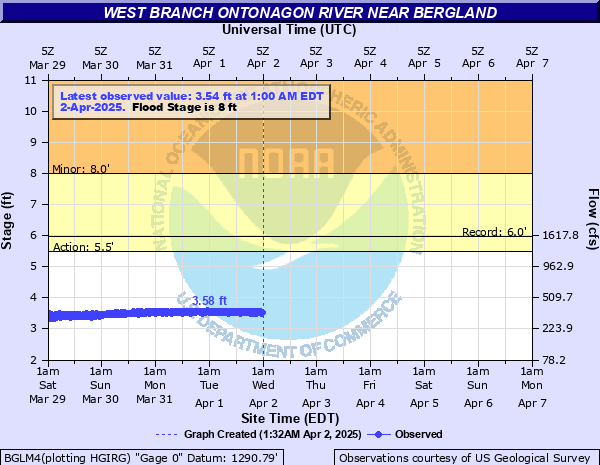
West Branch Ontonagon River near Bergland
Critical Stages
5.5' - Action
8' - Flood
Moderate
Major
Latest Observation
Updated: 11:45 PM EST 12/14/25
Status: No Flooding
Stage: 2.7 ft
Flow: 0.177 kcfs
Forecast
Forecast not available for this location.
| Time | Stage (ft) | Flow (kcfs) |
|---|---|---|
| 12:00 AM 12/15 | 2.67 | 0.171 |
| 11:45 PM 12/14 | 2.7 | 0.177 |
| 11:30 PM 12/14 | 2.69 | 0.175 |
| 11:15 PM 12/14 | 2.71 | 0.179 |
| 11:00 PM 12/14 | 2.67 | 0.171 |
| 10:45 PM 12/14 | 2.65 | 0.168 |
| 10:30 PM 12/14 | 2.67 | 0.171 |
| 10:15 PM 12/14 | 2.69 | 0.175 |
| 10:00 PM 12/14 | 2.7 | 0.177 |
| 9:45 PM 12/14 | 2.71 | 0.179 |
| 9:30 PM 12/14 | 2.67 | 0.171 |
| 9:15 PM 12/14 | 2.67 | 0.171 |
| 9:00 PM 12/14 | 2.68 | 0.173 |
| 8:45 PM 12/14 | 2.69 | 0.175 |
| 8:30 PM 12/14 | 2.7 | 0.177 |
| 8:15 PM 12/14 | 2.69 | 0.175 |
| 8:00 PM 12/14 | 2.68 | 0.173 |
| 7:45 PM 12/14 | 2.67 | 0.171 |
| 7:30 PM 12/14 | 2.66 | 0.17 |
| 7:15 PM 12/14 | 2.69 | 0.175 |
| 7:00 PM 12/14 | 2.71 | 0.179 |
| 6:45 PM 12/14 | 2.7 | 0.177 |
| 6:30 PM 12/14 | 2.69 | 0.175 |
| 6:15 PM 12/14 | 2.68 | 0.173 |
| 6:00 PM 12/14 | 2.68 | 0.173 |
| 5:45 PM 12/14 | 2.69 | 0.175 |
| 5:30 PM 12/14 | 2.71 | 0.179 |
| 5:15 PM 12/14 | 2.72 | 0.181 |
| 5:00 PM 12/14 | 2.7 | 0.177 |
| 4:45 PM 12/14 | 2.67 | 0.171 |
No flood impact data available for this location.
| Date | Stage (ft) |
|---|---|
| Apr 19, 2002 | 6.06 |
| Apr 26, 1960 | 5.98 |
| Apr 25, 2019 | 5.92 |
| May 2, 1951 | 5.73 |
| May 13, 2014 | 5.65 |
| May 12, 1950 | 5.59 |
| May 3, 1954 | 5.53 |
| May 9, 1996 | 5.51 |
| May 14, 2003 | 5.43 |
| Jul 25, 1952 | 5.42 |
| May 6, 1943 | 5.41 |
| Apr 23, 1971 | 5.38 |
| May 8, 2013 | 5.37 |
| May 6, 2023 | 5.37 |
| Jun 20, 1953 | 5.35 |
| Aug 18, 1972 | 5.28 |
| Jun 27, 1946 | 5.28 |
| May 11, 1965 | 5.22 |
| May 1, 1947 | 5.17 |
| Apr 21, 1967 | 5.15 |
Data provided by the National Weather Service.