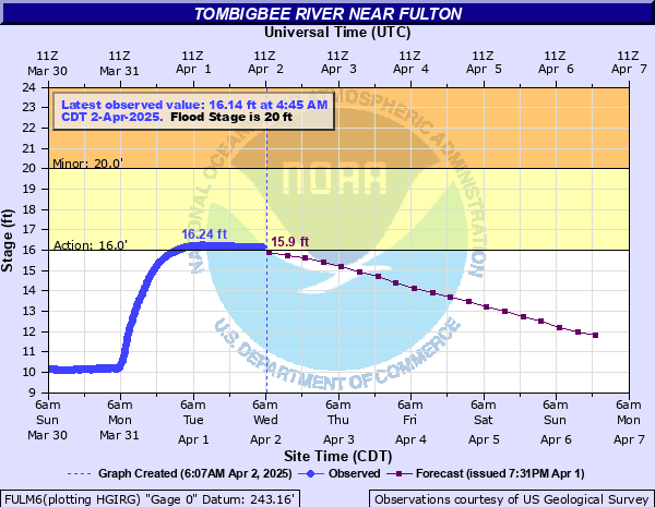
Tombigbee River near Fulton
Critical Stages
16' - Action
20' - Flood
25' - Moderate
28' - Major
Latest Observation
Updated: 6:45 PM CST 12/6/25
Status: No Flooding
Stage: 8.29 ft
Flow: 0.203 kcfs
Forecast
| Time | Stage (ft) | Flow (kcfs) |
|---|---|---|
| 12 AM 12/7 | 8.2 | 0.192 |
| 6 AM 12/7 | 8.2 | 0.192 |
| 12 PM 12/7 | 8.2 | 0.192 |
| 6 PM 12/7 | 8.2 | 0.192 |
| 12 AM 12/8 | 8.2 | 0.192 |
| 6 AM 12/8 | 8.2 | 0.192 |
| 12 PM 12/8 | 8.2 | 0.192 |
| 6 PM 12/8 | 8.2 | 0.192 |
| 12 AM 12/9 | 8.2 | 0.192 |
| 6 AM 12/9 | 8.1 | 0.181 |
| 12 PM 12/9 | 8.1 | 0.181 |
| 6 PM 12/9 | 8 | 0.17 |
| 12 AM 12/10 | 8 | 0.17 |
| 6 AM 12/10 | 8 | 0.17 |
| 12 PM 12/10 | 7.9 | 0.159 |
| 6 PM 12/10 | 7.9 | 0.159 |
| 12 AM 12/11 | 7.9 | 0.159 |
| 6 AM 12/11 | 7.8 | 0.147 |
| Time | Stage (ft) | Flow (kcfs) |
|---|---|---|
| 6:45 PM 12/6 | 8.29 | 0.203 |
| 6:30 PM 12/6 | 8.29 | 0.203 |
| 6:15 PM 12/6 | 8.29 | 0.203 |
| 6:00 PM 12/6 | 8.29 | 0.203 |
| 5:45 PM 12/6 | 8.29 | 0.203 |
| 5:30 PM 12/6 | 8.29 | 0.203 |
| 5:15 PM 12/6 | 8.3 | 0.204 |
| 5:00 PM 12/6 | 8.3 | 0.204 |
| 4:45 PM 12/6 | 8.3 | 0.204 |
| 4:30 PM 12/6 | 8.31 | 0.205 |
| 4:15 PM 12/6 | 8.31 | 0.205 |
| 4:00 PM 12/6 | 8.31 | 0.205 |
| 3:45 PM 12/6 | 8.3 | 0.204 |
| 3:30 PM 12/6 | 8.31 | 0.205 |
| 3:15 PM 12/6 | 8.31 | 0.205 |
| 3:00 PM 12/6 | 8.31 | 0.205 |
| 2:45 PM 12/6 | 8.32 | 0.207 |
| 2:30 PM 12/6 | 8.31 | 0.205 |
| 2:15 PM 12/6 | 8.31 | 0.205 |
| 2:00 PM 12/6 | 8.31 | 0.205 |
| 1:45 PM 12/6 | 8.31 | 0.205 |
| 1:30 PM 12/6 | 8.31 | 0.205 |
| 1:15 PM 12/6 | 8.31 | 0.205 |
| 1:00 PM 12/6 | 8.3 | 0.204 |
| 12:45 PM 12/6 | 8.3 | 0.204 |
| 12:30 PM 12/6 | 8.3 | 0.204 |
| 12:15 PM 12/6 | 8.3 | 0.204 |
| 12:00 PM 12/6 | 8.3 | 0.204 |
| 11:45 AM 12/6 | 8.29 | 0.203 |
| 11:30 AM 12/6 | 8.29 | 0.203 |
28' -
Numerous secondary roads are flooded and evacuations are necessary.
25' -
Extensive agricultural flooding is occurring. Evacuations may be necessary for residents living near the river.
23' -
Widespread flooding along the river is in progress. Agricultural land and a few homes south of New Highway 78 will be affected.
21' -
Low-lying secondary roads near the river begin to flood. Equipment and livestock should be moved to higher ground and residents near the river may need to take additional flood precautions.
20' -
Most low-lying agricultural land along the river is flooding and access may be restricted in low-lying areas.
18.5' -
Most lowland between the old river and the Tennessee-Tombigbee Waterway is flooding.
16' -
Flooding of low-lying areas between the river channels is occurring.
| Date | Stage (ft) |
|---|---|
| May 27, 1991 | 27.72 |
| Mar 22, 1955 | 25.75 |
| Feb 24, 2019 | 24.42 |
| Feb 12, 1991 | 24.18 |
| Dec 27, 1982 | 23.7 |
| Mar 17, 1973 | 23 |
| May 20, 1983 | 23 |
| Feb 7, 2004 | 22.45 |
| Feb 14, 1948 | 22.24 |
| Jan 23, 1999 | 21.42 |
| Dec 8, 2004 | 21.24 |
| Mar 3, 1997 | 20.35 |
| Mar 8, 1995 | 20.29 |
| Feb 12, 1994 | 19.81 |
| Mar 28, 1994 | 19.17 |
| Apr 23, 1996 | 18.76 |
| May 4, 1993 | 18.22 |
| Feb 18, 1998 | 17.89 |
| Apr 8, 2005 | 17.8 |
| Oct 20, 2004 | 17.14 |
Data provided by the National Weather Service.