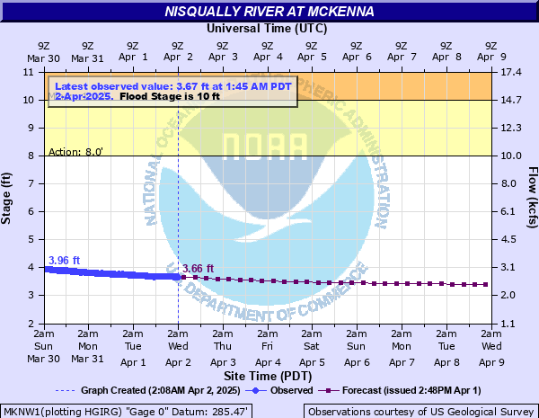
Nisqually River at McKenna
Critical Stages
8' - Action
10' - Flood
13' - Moderate
14' - Major
Latest Observation
Updated: 9:15 AM PST 12/6/25
Status: No Flooding
Stage: 4.17 ft
Flow: 3.37 kcfs
Forecast
| Time | Stage (ft) | Flow (kcfs) |
|---|---|---|
| 10 AM 12/6 | 3.93 | 3.06 |
| 4 PM 12/6 | 3.87 | 2.98 |
| 10 PM 12/6 | 3.82 | 2.92 |
| 4 AM 12/7 | 3.77 | 2.86 |
| 10 AM 12/7 | 3.74 | 2.82 |
| 4 PM 12/7 | 3.77 | 2.86 |
| 10 PM 12/7 | 3.8 | 2.89 |
| 4 AM 12/8 | 3.82 | 2.92 |
| 10 AM 12/8 | 4.63 | 3.99 |
| 4 PM 12/8 | 5.48 | 5.28 |
| 10 PM 12/8 | 6.37 | 6.8 |
| 4 AM 12/9 | 7.19 | 8.34 |
| 10 AM 12/9 | 7.87 | 9.74 |
| 4 PM 12/9 | 8.45 | 11 |
| 10 PM 12/9 | 8.53 | 11.2 |
| 4 AM 12/10 | 8.61 | 11.4 |
| 10 AM 12/10 | 8.68 | 11.5 |
| 4 PM 12/10 | 8.73 | 11.6 |
| 10 PM 12/10 | 8.75 | 11.7 |
| 4 AM 12/11 | 8.75 | 11.7 |
| 10 AM 12/11 | 8.72 | 11.6 |
| 4 PM 12/11 | 8.67 | 11.5 |
| 10 PM 12/11 | 8.62 | 11.4 |
| 4 AM 12/12 | 8.57 | 11.3 |
| 10 AM 12/12 | 8.52 | 11.2 |
| 4 PM 12/12 | 8.46 | 11 |
| 10 PM 12/12 | 8.39 | 10.9 |
| 4 AM 12/13 | 8.33 | 10.7 |
| 10 AM 12/13 | 8.25 | 10.6 |
| 4 PM 12/13 | 8.16 | 10.4 |
| 10 PM 12/13 | 8.06 | 10.1 |
| 4 AM 12/14 | 7.97 | 9.95 |
| 10 AM 12/14 | 7.88 | 9.76 |
| 4 PM 12/14 | 7.8 | 9.59 |
| 10 PM 12/14 | 7.74 | 9.46 |
| 4 AM 12/15 | 7.7 | 9.38 |
| Time | Stage (ft) | Flow (kcfs) |
|---|---|---|
| 9:15 AM 12/6 | 4.17 | 3.37 |
| 9:00 AM 12/6 | 4.18 | 3.38 |
| 8:45 AM 12/6 | 4.16 | 3.35 |
| 8:30 AM 12/6 | 4.17 | 3.37 |
| 8:15 AM 12/6 | 4.16 | 3.35 |
| 8:00 AM 12/6 | 4.17 | 3.37 |
| 7:45 AM 12/6 | 4.16 | 3.35 |
| 7:30 AM 12/6 | 4.17 | 3.37 |
| 7:15 AM 12/6 | 4.17 | 3.37 |
| 7:00 AM 12/6 | 4.16 | 3.35 |
| 6:45 AM 12/6 | 4.18 | 3.38 |
| 6:30 AM 12/6 | 4.16 | 3.35 |
| 6:15 AM 12/6 | 4.17 | 3.37 |
| 6:00 AM 12/6 | 4.17 | 3.37 |
| 5:45 AM 12/6 | 4.19 | 3.39 |
| 5:30 AM 12/6 | 4.18 | 3.38 |
| 5:15 AM 12/6 | 4.17 | 3.37 |
| 5:00 AM 12/6 | 4.18 | 3.38 |
| 4:45 AM 12/6 | 4.18 | 3.38 |
| 4:30 AM 12/6 | 4.18 | 3.38 |
| 4:15 AM 12/6 | 4.18 | 3.38 |
| 4:00 AM 12/6 | 4.17 | 3.37 |
| 3:45 AM 12/6 | 4.16 | 3.35 |
| 3:30 AM 12/6 | 4.18 | 3.38 |
| 3:15 AM 12/6 | 4.17 | 3.37 |
| 3:00 AM 12/6 | 4.16 | 3.35 |
| 2:45 AM 12/6 | 4.16 | 3.35 |
| 2:30 AM 12/6 | 4.16 | 3.35 |
| 2:15 AM 12/6 | 4.17 | 3.37 |
| 2:00 AM 12/6 | 4.17 | 3.37 |
16' -
the Nisqually River will cause severe near record flooding from La Grande downstream through McKenna to the mouth. Deep and swift flood waters will inundate roads...farms...and residential areas...including the nursing home in McKenna. Erosion will likely cause severe damage. Flooding will occur all along the river including headwaters...tributaries...and other streams within and near the Nisqually River Basin.
14' -
the Nisqually River will cause major flooding from La Grande downstream through McKenna to the mouth. Deep and swift waters will flood roads...farms...and residential areas...including the nursing home in McKenna. Erosion may cause severe damage. Flooding will occur all along the river including headwaters...tributaries...and other streams within and near the Nisqually River Basin.
13' -
the Nisqually River will flood from La Grande downstream through McKenna to the mouth. Swift waters will flood roads...farms...and some residential areas including the nursing home in McKenna. Erosion will likely damage properties along river banks.
12' -
the Nisqually River will flood from La Grande downstream through McKenna to the mouth. Flood waters will flow over some roads and through farms and residential areas. Erosion may damage some properties. High tidal levels on Puget Sound will cause flooding along the lower reaches...threatening homes along Riverside Drive...Cononie Street and Conine Avenue.
10' -
the Nisqually River will flood at the lower end near the mouth. High tide levels on Puget Sound may increase the amount of flooding. The Nisqually River will also spill over its banks between La Grande and McKenna.
| Date | Stage (ft) |
|---|---|
| Feb 8, 1996 | 17.13 |
| Jan 29, 1965 | 13 |
| Nov 30, 1995 | 12.48 |
| Dec 26, 1980 | 12.39 |
| Dec 12, 1955 | 12.38 |
| Feb 7, 2020 | 12.09 |
| Nov 23, 1959 | 11.78 |
| Jan 10, 1990 | 11.31 |
| Feb 11, 1951 | 11.3 |
| Apr 5, 1991 | 11.14 |
| Dec 10, 1953 | 11.04 |
| Feb 19, 1982 | 10.84 |
| Jan 31, 2003 | 10.58 |
| Jan 1, 1997 | 10.52 |
| Jan 8, 2009 | 10.47 |
| Dec 9, 2015 | 10.35 |
| Feb 22, 1961 | 10.32 |
| Dec 2, 1977 | 10.27 |
| Jan 11, 2006 | 10.26 |
| Jan 24, 1959 | 10.2 |
Data provided by the National Weather Service.