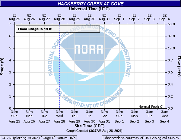
Hackberry Creek at Gove
Critical Stages
14' - Action
19' - Flood
21' - Moderate
23' - Major
Latest Observation
Updated: 6:09 PM LMT 12/31/00
Status: Obs Not Current
Stage: -999 ft
Flow: -999 kcfs
Forecast
Forecast not available for this location.
Observation history not available.
31.6' -
Water should reach the north end of the Highway 23 bridge.
24' -
There will be extensive flooding of fields and secondary roads.
19' -
Lowland areas and roads near the gage site will become flooded.
| Date | Stage (ft) |
|---|---|
| Jun 1, 1995 | 24.3 |
| Jun 7, 1951 | 24 |
| Jun 1, 1934 | 21.3 |
| Jun 1, 1903 | 21.3 |
| Jun 26, 1996 | 21.01 |
| Aug 7, 1950 | 20.33 |
| Sep 21, 1965 | 19.11 |
| May 29, 1975 | 18.82 |
| Jun 11, 1951 | 18.74 |
| Aug 8, 1987 | 18.67 |
| Aug 31, 1992 | 18.4 |
| Jun 29, 2014 | 18 |
| Mar 19, 1961 | 18 |
| Jun 29, 1967 | 17.87 |
| Aug 24, 1977 | 16.65 |
| Sep 16, 1962 | 16.08 |
| Sep 16, 1976 | 16.07 |
| Aug 18, 1949 | 15.52 |
| Jul 28, 1948 | 14.38 |
| May 7, 1996 | 10.9 |
Data provided by the National Weather Service.