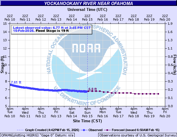
Yockanookany River near Ofahoma
Critical Stages
18' - Action
19' - Flood
23' - Moderate
25' - Major
Latest Observation
Updated: 6:45 AM CST 12/16/25
Status: No Flooding
Stage: 5.69 ft
Flow: 0.0511 kcfs
Forecast
| Time | Stage (ft) | Flow (kcfs) |
|---|---|---|
| 12 PM 12/16 | 5.7 | 0.0516 |
| 6 PM 12/16 | 5.7 | 0.0516 |
| 12 AM 12/17 | 5.7 | 0.0516 |
| 6 AM 12/17 | 5.7 | 0.0516 |
| 12 PM 12/17 | 5.7 | 0.0516 |
| 6 PM 12/17 | 5.6 | 0.0467 |
| 12 AM 12/18 | 5.6 | 0.0467 |
| 6 AM 12/18 | 5.6 | 0.0467 |
| 12 PM 12/18 | 5.6 | 0.0467 |
| 6 PM 12/18 | 5.6 | 0.0467 |
| 12 AM 12/19 | 5.6 | 0.0467 |
| 6 AM 12/19 | 5.6 | 0.0467 |
| 12 PM 12/19 | 5.6 | 0.0467 |
| 6 PM 12/19 | 5.6 | 0.0467 |
| 12 AM 12/20 | 5.6 | 0.0467 |
| 6 AM 12/20 | 5.6 | 0.0467 |
| Time | Stage (ft) | Flow (kcfs) |
|---|---|---|
| 6:45 AM 12/16 | 5.69 | 0.0511 |
| 6:30 AM 12/16 | 5.7 | 0.0516 |
| 6:15 AM 12/16 | 5.7 | 0.0516 |
| 6:00 AM 12/16 | 5.7 | 0.0516 |
| 5:45 AM 12/16 | 5.7 | 0.0516 |
| 5:30 AM 12/16 | 5.7 | 0.0516 |
| 5:15 AM 12/16 | 5.71 | 0.0521 |
| 5:00 AM 12/16 | 5.71 | 0.0521 |
| 4:45 AM 12/16 | 5.71 | 0.0521 |
| 4:30 AM 12/16 | 5.71 | 0.0521 |
| 4:15 AM 12/16 | 5.71 | 0.0521 |
| 4:00 AM 12/16 | 5.71 | 0.0521 |
| 3:45 AM 12/16 | 5.71 | 0.0521 |
| 3:30 AM 12/16 | 5.72 | 0.0526 |
| 3:15 AM 12/16 | 5.72 | 0.0526 |
| 3:00 AM 12/16 | 5.72 | 0.0526 |
| 2:45 AM 12/16 | 5.72 | 0.0526 |
| 2:30 AM 12/16 | 5.72 | 0.0526 |
| 2:15 AM 12/16 | 5.72 | 0.0526 |
| 2:00 AM 12/16 | 5.73 | 0.0531 |
| 1:45 AM 12/16 | 5.73 | 0.0531 |
| 1:30 AM 12/16 | 5.73 | 0.0531 |
| 1:15 AM 12/16 | 5.73 | 0.0531 |
| 1:00 AM 12/16 | 5.73 | 0.0531 |
| 12:45 AM 12/16 | 5.74 | 0.0536 |
| 12:30 AM 12/16 | 5.74 | 0.0536 |
| 12:15 AM 12/16 | 5.74 | 0.0536 |
| 12:00 AM 12/16 | 5.74 | 0.0536 |
| 11:45 PM 12/15 | 5.74 | 0.0536 |
| 11:30 PM 12/15 | 5.74 | 0.0536 |
28.2' -
Extensive flooding is occurring for many miles above and below the gage site. Water covers the Natchez Trace just southwest of Ofahoma. A few buildings east of Ofahoma and just south of State Highway 16 are also affected by high water.
25' -
Widespread flooding to the north and south of the gage site.
23' -
Widespread lowland flooding is occurring for several miles east and west of the river. Also several county roads are underwater south of the gage site near the Pearl River.
19' -
Minor overbank flooding of farmland along the river is occurring.
| Date | Stage (ft) |
|---|---|
| Apr 14, 1979 | 28.27 |
| Mar 31, 1951 | 25.28 |
| May 22, 1983 | 25.2 |
| Feb 14, 2020 | 24.71 |
| Mar 16, 1975 | 24.48 |
| Dec 20, 1961 | 24.4 |
| Jan 15, 2021 | 24.37 |
| Jan 10, 1950 | 24.19 |
| Dec 7, 1982 | 24.09 |
| Dec 21, 1967 | 23.99 |
| Mar 19, 1973 | 23.96 |
| Jan 7, 1949 | 23.8 |
| Jun 13, 2021 | 23.58 |
| Mar 31, 1980 | 23.53 |
| Apr 14, 1969 | 23.48 |
| May 2, 1991 | 23.48 |
| Feb 13, 1946 | 23.41 |
| Dec 29, 1982 | 23.41 |
| May 11, 1978 | 23.32 |
| May 30, 1991 | 23.32 |
Data provided by the National Weather Service.