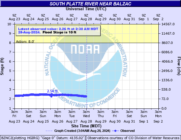
South Platte River near Balzac
Critical Stages
8' - Action
10' - Flood
11' - Moderate
12.5' - Major
Latest Observation
Updated: 12:30 AM MST 12/16/25
Status: No Flooding
Stage: 1.92 ft
Flow: 0.187 kcfs
Forecast
Forecast not available for this location.
| Time | Stage (ft) | Flow (kcfs) |
|---|---|---|
| 12:30 AM 12/16 | 1.92 | 0.187 |
| 12:15 AM 12/16 | 1.91 | 0.184 |
| 12:00 AM 12/16 | 1.92 | 0.187 |
| 11:45 PM 12/15 | 1.92 | 0.187 |
| 11:30 PM 12/15 | 1.92 | 0.187 |
| 11:15 PM 12/15 | 1.92 | 0.187 |
| 11:00 PM 12/15 | 1.92 | 0.187 |
| 10:45 PM 12/15 | 1.92 | 0.187 |
| 10:30 PM 12/15 | 1.92 | 0.187 |
| 10:15 PM 12/15 | 1.92 | 0.187 |
| 10:00 PM 12/15 | 1.92 | 0.187 |
| 9:45 PM 12/15 | 1.92 | 0.187 |
| 9:30 PM 12/15 | 1.92 | 0.187 |
| 9:15 PM 12/15 | 1.92 | 0.187 |
| 9:00 PM 12/15 | 1.92 | 0.187 |
| 8:45 PM 12/15 | 1.92 | 0.187 |
| 8:30 PM 12/15 | 1.92 | 0.187 |
| 8:15 PM 12/15 | 1.92 | 0.187 |
| 8:00 PM 12/15 | 1.92 | 0.187 |
| 7:45 PM 12/15 | 1.92 | 0.187 |
| 7:30 PM 12/15 | 1.92 | 0.187 |
| 7:15 PM 12/15 | 1.92 | 0.187 |
| 7:00 PM 12/15 | 1.92 | 0.187 |
| 6:45 PM 12/15 | 1.92 | 0.187 |
| 6:30 PM 12/15 | 1.92 | 0.187 |
| 6:15 PM 12/15 | 1.92 | 0.187 |
| 6:00 PM 12/15 | 1.92 | 0.187 |
| 5:45 PM 12/15 | 1.92 | 0.187 |
| 5:30 PM 12/15 | 1.92 | 0.187 |
| 5:15 PM 12/15 | 1.91 | 0.184 |
13.5' -
Businesses and residences flood along the river in eastern Sterling.
12.5' -
Numerous roads and structures flood along the river.
12' -
Water flows over Colorado Highway 71 near Snyder.
11' -
There is extensive flooding of agricultural land near the river. Water flows over State Highway 63 near Atwood.
10' -
Agricultural land floods along the river near Sterling.
8' -
The river is out of its banks and into fields and meadows.
| Date | Stage (ft) |
|---|---|
| Sep 15, 2013 | 13.71 |
| Jun 12, 1995 | 10.43 |
| May 13, 2015 | 10.39 |
| May 3, 1999 | 10.38 |
| Jun 17, 2010 | 9.75 |
| Jun 16, 1997 | 9.25 |
| Jun 5, 2014 | 9.06 |
| Jul 17, 2011 | 9.06 |
| Jun 14, 2009 | 7.51 |
| Jun 16, 2016 | 6.85 |
| Jun 7, 2005 | 6.61 |
| Aug 27, 1992 | 6.52 |
| May 29, 2017 | 6.3 |
| Jun 4, 1991 | 6.17 |
| May 7, 2001 | 6.1 |
| May 26, 2007 | 5.82 |
| Aug 19, 2008 | 5.56 |
| May 28, 1996 | 5.56 |
| Apr 28, 1998 | 5.46 |
| Jun 24, 2019 | 5.39 |
Data provided by the National Weather Service.