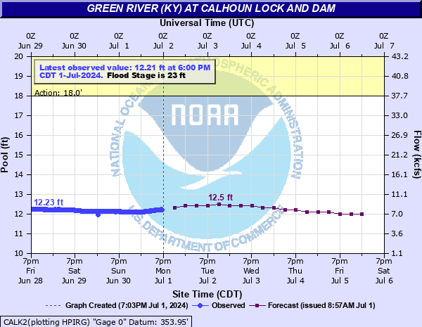
Green River (KY) at Calhoun Lock and Dam
Critical Stages
18' - Action
23' - Flood
26' - Moderate
32' - Major
Latest Observation
Updated: 10:00 AM CST 12/6/25
Status: No Flooding
Stage: 10.77 ft
Flow: 3.2 kcfs
Forecast
| Time | Stage (ft) | Flow (kcfs) |
|---|---|---|
| 12 PM 12/6 | 10.8 | 3.28 |
| 6 PM 12/6 | 10.8 | 3.28 |
| 12 AM 12/7 | 10.8 | 3.28 |
| 6 AM 12/7 | 10.8 | 3.28 |
| 12 PM 12/7 | 10.9 | 3.59 |
| 6 PM 12/7 | 11 | 3.92 |
| 12 AM 12/8 | 11.1 | 4.22 |
| 6 AM 12/8 | 11.1 | 4.22 |
| 12 PM 12/8 | 11.2 | 4.53 |
| 6 PM 12/8 | 11.2 | 4.53 |
| 12 AM 12/9 | 11.2 | 4.53 |
| 6 AM 12/9 | 11.2 | 4.53 |
| 12 PM 12/9 | 11.2 | 4.53 |
| 6 PM 12/9 | 11.2 | 4.53 |
| 12 AM 12/10 | 11.2 | 4.53 |
| 6 AM 12/10 | 11.2 | 4.53 |
| 12 PM 12/10 | 11.2 | 4.53 |
| 6 PM 12/10 | 11.1 | 4.22 |
| 12 AM 12/11 | 11 | 3.92 |
| 6 AM 12/11 | 10.9 | 3.59 |
| Time | Stage (ft) | Flow (kcfs) |
|---|---|---|
| 10:00 AM 12/6 | 10.77 | 3.2 |
| 9:45 AM 12/6 | 10.71 | 3.02 |
| 9:30 AM 12/6 | 10.76 | 3.17 |
| 9:15 AM 12/6 | 10.75 | 3.14 |
| 9:00 AM 12/6 | 10.76 | 3.17 |
| 8:45 AM 12/6 | 10.77 | 3.2 |
| 8:30 AM 12/6 | 10.77 | 3.2 |
| 8:15 AM 12/6 | 10.77 | 3.2 |
| 8:00 AM 12/6 | 10.75 | 3.14 |
| 7:45 AM 12/6 | 10.68 | 2.94 |
| 7:30 AM 12/6 | 10.8 | 3.28 |
| 7:15 AM 12/6 | 10.78 | 3.22 |
| 7:00 AM 12/6 | 10.81 | 3.31 |
| 6:45 AM 12/6 | 10.78 | 3.22 |
| 6:30 AM 12/6 | 10.78 | 3.22 |
| 6:15 AM 12/6 | 10.79 | 3.25 |
| 6:00 AM 12/6 | 10.78 | 3.22 |
| 5:45 AM 12/6 | 10.79 | 3.25 |
| 5:30 AM 12/6 | 10.79 | 3.25 |
| 5:15 AM 12/6 | 10.79 | 3.25 |
| 5:00 AM 12/6 | 10.79 | 3.25 |
| 4:45 AM 12/6 | 10.8 | 3.28 |
| 4:30 AM 12/6 | 10.8 | 3.28 |
| 4:15 AM 12/6 | 10.8 | 3.28 |
| 4:00 AM 12/6 | 10.8 | 3.28 |
| 3:45 AM 12/6 | 10.8 | 3.28 |
| 3:30 AM 12/6 | 10.8 | 3.28 |
| 3:15 AM 12/6 | 10.8 | 3.28 |
| 3:00 AM 12/6 | 10.8 | 3.28 |
| 2:45 AM 12/6 | 10.79 | 3.25 |
42.4' -
This flood will exceed the highest stage on record. 60 percent of McLean county is inundated.
34' -
State Road 81 south of Rumsey is flooded and closed.
33' -
The entire town of Rumsey is flooded.
32' -
Most of Rumsey is flooded. State Road 81 floods in Rumsey near the Methodist church. Widespread flooding of agricultural land south of Rumsey, even as far south as Cypress Creek.
30' -
Lower Calhoun begins flooding. A large portion of Rumsey is flooded and evacuation of homes becomes necessary.
28' -
Riverview Drive in Calhoun floods.
26' -
Moderate flooding occurs with thousands of acreage flooded in the Island, Rumsey, and Jewel City areas.
23' -
Minor flooding occurs affecting mainly agricultural bottomland and low lying areas.
| Date | Stage (ft) |
|---|---|
| Jan 27, 1937 | 43.75 |
| Jan 1, 1913 | 36.8 |
| Jan 16, 1950 | 36.3 |
| Apr 13, 2025 | 35.89 |
| Mar 11, 1997 | 34.37 |
| May 7, 2011 | 34.01 |
| Mar 10, 1962 | 33.97 |
| Mar 17, 1964 | 33.96 |
| Mar 8, 1945 | 33.6 |
| Feb 24, 1989 | 33.37 |
| Apr 7, 1935 | 32.9 |
| Feb 11, 1939 | 32.9 |
| Feb 25, 1956 | 32.6 |
| Mar 31, 1952 | 32.5 |
| Dec 16, 1978 | 32.47 |
| May 15, 1984 | 32.4 |
| Feb 23, 2025 | 32.35 |
| Mar 27, 1943 | 32.3 |
| Feb 24, 1949 | 32.3 |
| Mar 29, 1955 | 32.2 |
Data provided by the National Weather Service.