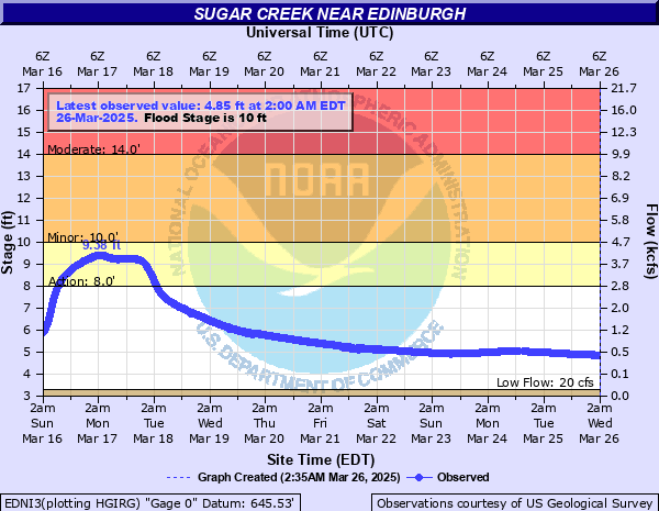
Sugar Creek (central) near Edinburgh
Critical Stages
8' - Action
10' - Flood
14' - Moderate
18' - Major
Latest Observation
Updated: 3:00 PM EST 12/6/25
Status: No Flooding
Stage: 4.08 ft
Flow: 0.144 kcfs
Forecast
Forecast not available for this location.
| Time | Stage (ft) | Flow (kcfs) |
|---|---|---|
| 3:00 PM 12/6 | 4.08 | 0.144 |
| 2:45 PM 12/6 | 4.08 | 0.144 |
| 2:30 PM 12/6 | 4.08 | 0.144 |
| 2:15 PM 12/6 | 4.08 | 0.144 |
| 2:00 PM 12/6 | 4.08 | 0.144 |
| 1:45 PM 12/6 | 4.08 | 0.144 |
| 1:30 PM 12/6 | 4.08 | 0.144 |
| 1:15 PM 12/6 | 4.08 | 0.144 |
| 1:00 PM 12/6 | 4.08 | 0.144 |
| 12:45 PM 12/6 | 4.08 | 0.144 |
| 12:30 PM 12/6 | 4.09 | 0.146 |
| 12:15 PM 12/6 | 4.09 | 0.146 |
| 12:00 PM 12/6 | 4.08 | 0.144 |
| 11:45 AM 12/6 | 4.09 | 0.146 |
| 11:30 AM 12/6 | 4.09 | 0.146 |
| 11:15 AM 12/6 | 4.05 | 0.137 |
| 11:00 AM 12/6 | 4.09 | 0.146 |
| 10:45 AM 12/6 | 4.08 | 0.144 |
| 10:30 AM 12/6 | 4.09 | 0.146 |
| 10:15 AM 12/6 | 4.09 | 0.146 |
| 10:00 AM 12/6 | 4.09 | 0.146 |
| 9:45 AM 12/6 | 4.09 | 0.146 |
| 9:30 AM 12/6 | 4.09 | 0.146 |
| 9:15 AM 12/6 | 4.09 | 0.146 |
| 9:00 AM 12/6 | 4.09 | 0.146 |
| 8:45 AM 12/6 | 4.09 | 0.146 |
| 8:30 AM 12/6 | 4.09 | 0.146 |
| 8:15 AM 12/6 | 4.09 | 0.146 |
| 8:00 AM 12/6 | 4.09 | 0.146 |
| 7:45 AM 12/6 | 4.09 | 0.146 |
25' -
Water is at the bottom of bridge over Sugar Creek leading into Camp Atterbury. Extreme flooding in progress with great damage to residences, businesses, state and local roads.
19.2' -
June 2008 record flood. Atterbury public access site area extensively flooded with water more than a foot deep over nearby county road. During June 2008 extensive damaged occurred to numerous local Johnson county roads. Water was more than two feet deep on nearby US 31. Some local river cabins destroyed. Residential flooding in and near Edinburgh. SR 252 upstream on Youngs Creek flooded by 2 ft or more of water.
18' -
Near record flood is in progress. U.S. Hwy 31 is impassable with at least one foot of water. Extensive damage to several river cabins and residences near Edinburgh occurs.
16' -
Extensive flooding along Sugar Creek affecting several river cabins and local roads. Flooding of U.S. Highway 31 near Edinburgh is very likely. Several local roads along Sugar Creek from Indiana 44 downstream to gage site are flooded.
14' -
Flood waters in at least one cabin and is about to enter several more near Sugar Creek. Extensive flooding of Sugar Creek in Atterbury Fish and Wildlife Area. Water approaching and possibly on portions of River Road north of Old Hospital Road and CR 650S. Flooding of agricultural land near SR 252 along a small tributary to Sugar Creek and of some county roads upstream of CR 650S.
13' -
At least one cabin begins to flood with several more threatened by flood waters. Extensive flooding of a few county roads near Sugar Creek.
12' -
Flooding of Sugar Creek in Atterbury Fish and Wildlife Area in southern Johnson County. River Road north of Old Hospital Road and CR 650S that run through the wildlife area are not flooded...but many of the side roads from these roads are flooded. Water extends to SR 252 along a small tributary to Sugar Creek.
11' -
In Johnson county, CR 400 S east of US 31, CR 725 E north of CR 400 S and Greensburg Road from CR 700 E to CR 800 E are closed by flood waters. Low agricultural land is flooded. A few homes and outbuildings surrounded by high water.
10.5' -
Lowland flooding along Sugar Creek.
9' -
Flooding along portions of Sugar Creek is in progress.
| Date | Stage (ft) |
|---|---|
| Jun 7, 2008 | 19.23 |
| May 29, 1956 | 18.38 |
| Nov 15, 1993 | 17.05 |
| May 24, 1968 | 16.98 |
| Jan 6, 2005 | 16.95 |
| Jul 21, 1969 | 16.84 |
| Dec 23, 2013 | 16.83 |
| Nov 17, 1955 | 16.58 |
| Apr 6, 2025 | 16.51 |
| Mar 5, 1963 | 16.43 |
| Dec 31, 1990 | 16.27 |
| May 9, 1961 | 16.12 |
| Jan 27, 1952 | 16.03 |
| Jan 5, 1950 | 15.5 |
| Apr 4, 2018 | 15.42 |
| Apr 21, 2011 | 15.37 |
| Apr 30, 1996 | 15.16 |
| Jan 5, 1949 | 15 |
| Feb 14, 1950 | 15 |
| Jun 21, 2011 | 14.96 |
Data provided by the National Weather Service.