« Back to Roaring River State Park Rivers
Kings River near Berryville
Critical Stages
30' - Action
31' - Flood
33' - Moderate
35' - Major
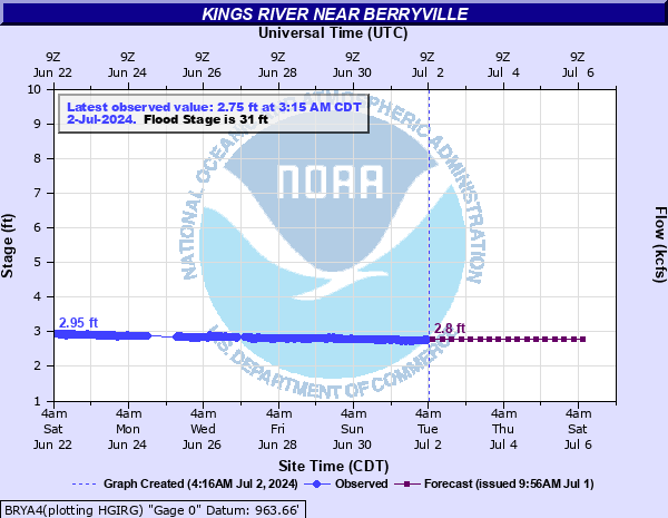
Latest Observation
Updated: 6:15 AM CST 12/6/25
Status: No Flooding
Stage: 3.54 ft
Flow: 0.126 kcfs
Forecast
| Time | Stage (ft) | Flow (kcfs) |
|---|---|---|
| 12 PM 12/6 | 3.6 | 0.141 |
| 6 PM 12/6 | 3.6 | 0.141 |
| 12 AM 12/7 | 3.6 | 0.141 |
| 6 AM 12/7 | 3.6 | 0.141 |
| 12 PM 12/7 | 3.6 | 0.141 |
| 6 PM 12/7 | 3.5 | 0.118 |
| 12 AM 12/8 | 3.5 | 0.118 |
| 6 AM 12/8 | 3.5 | 0.118 |
| 12 PM 12/8 | 3.5 | 0.118 |
| 6 PM 12/8 | 3.5 | 0.118 |
| 12 AM 12/9 | 3.5 | 0.118 |
| 6 AM 12/9 | 3.5 | 0.118 |
| 12 PM 12/9 | 3.5 | 0.118 |
| 6 PM 12/9 | 3.5 | 0.118 |
| 12 AM 12/10 | 3.5 | 0.118 |
| 6 AM 12/10 | 3.5 | 0.118 |
| Time | Stage (ft) | Flow (kcfs) |
|---|---|---|
| 7:15 AM 12/6 | 3.55 | 0.129 |
| 7:00 AM 12/6 | 3.52 | 0.122 |
| 6:45 AM 12/6 | 3.53 | 0.124 |
| 6:30 AM 12/6 | 3.52 | 0.122 |
| 6:15 AM 12/6 | 3.54 | 0.126 |
| 6:00 AM 12/6 | 3.5 | 0.118 |
| 5:45 AM 12/6 | 3.53 | 0.124 |
| 5:30 AM 12/6 | 3.54 | 0.126 |
| 5:15 AM 12/6 | 3.53 | 0.124 |
| 5:00 AM 12/6 | 3.56 | 0.131 |
| 4:45 AM 12/6 | 3.53 | 0.124 |
| 4:30 AM 12/6 | 3.53 | 0.124 |
| 4:15 AM 12/6 | 3.52 | 0.122 |
| 4:00 AM 12/6 | 3.5 | 0.118 |
| 3:45 AM 12/6 | 3.54 | 0.126 |
| 3:30 AM 12/6 | 3.52 | 0.122 |
| 3:15 AM 12/6 | 3.54 | 0.126 |
| 3:00 AM 12/6 | 3.53 | 0.124 |
| 2:45 AM 12/6 | 3.53 | 0.124 |
| 2:30 AM 12/6 | 3.53 | 0.124 |
| 2:15 AM 12/6 | 3.55 | 0.129 |
| 2:00 AM 12/6 | 3.54 | 0.126 |
| 1:45 AM 12/6 | 3.53 | 0.124 |
| 1:30 AM 12/6 | 3.53 | 0.124 |
| 1:15 AM 12/6 | 3.52 | 0.122 |
| 1:00 AM 12/6 | 3.53 | 0.124 |
| 12:45 AM 12/6 | 3.51 | 0.12 |
| 12:30 AM 12/6 | 3.53 | 0.124 |
| 12:15 AM 12/6 | 3.53 | 0.124 |
| 12:00 AM 12/6 | 3.51 | 0.12 |
39' -
disastrous flooding occurs. Many roads near the Kings River are closed. This flood will produce similar conditions to the record flood event of November 1985 when the stage crested at 38.9 feet. This is a very dangerous and life threatening situation.
37' -
expect severe flooding. Homes near the river around State Highway 143 may be flooded. Many roads in the vicinity of the river are closed. This is a very dangerous and life threatening situation.
35' -
expect severe flooding between Berryville and Table Rock Lake. State Highway 143 and many county roads are closed. Homes may be isolated by high water. Backwaters flood the lowlands along Clabber Creek and Bee Creek.
33' -
State Highway 143 and meadowlands along the east bank are inundated. Low lands around Clabber Creek become covered by high water.
31' -
meadowlands along the east bank are flooded. County roads in the vicinity of State Highway 143 may be covered by high water.
30' -
faster flows are expected along the river but no flooding occurs. Interests near the river should continue to monitor later forecasts.
| Date | Stage (ft) |
|---|---|
| Nov 19, 1985 | 38.91 |
| Apr 14, 1927 | 38 |
| May 10, 1943 | 37 |
| May 7, 1961 | 35.98 |
| Apr 26, 2011 | 35.37 |
| Mar 19, 2008 | 35.29 |
| Dec 3, 1982 | 33.49 |
| Apr 4, 1957 | 33.28 |
| Dec 28, 2015 | 33.18 |
| Mar 3, 1990 | 32.6 |
| Apr 25, 2004 | 30.58 |
| Nov 25, 1973 | 30.5 |
| Jul 26, 1960 | 30.41 |
| Nov 5, 2024 | 29.7 |
| Jan 23, 1984 | 29.23 |
| Mar 24, 1978 | 28.27 |
| Apr 8, 2002 | 27.41 |
| Apr 23, 1973 | 27.13 |
| Apr 14, 1945 | 26.9 |
| Feb 10, 1966 | 25.34 |
Data provided by the National Weather Service.