« Back to Roaring River State Park Rivers
Wilson Creek at Springfield
Critical Stages
8.5' - Action
13' - Flood
Moderate
Major
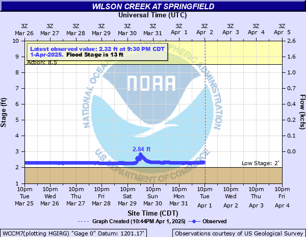
Latest Observation
Updated: 6:30 AM CST 12/6/25
Status: No Flooding
Stage: 2.37 ft
Flow: 0.001 kcfs
Forecast
Forecast not available for this location.
| Time | Stage (ft) | Flow (kcfs) |
|---|---|---|
| 6:30 AM 12/6 | 2.37 | 0.001 |
| 6:15 AM 12/6 | 2.37 | 0.001 |
| 6:00 AM 12/6 | 2.37 | 0.001 |
| 5:45 AM 12/6 | 2.37 | 0.001 |
| 5:30 AM 12/6 | 2.37 | 0.001 |
| 5:15 AM 12/6 | 2.37 | 0.001 |
| 5:00 AM 12/6 | 2.37 | 0.001 |
| 4:45 AM 12/6 | 2.37 | 0.001 |
| 4:30 AM 12/6 | 2.37 | 0.001 |
| 4:15 AM 12/6 | 2.37 | 0.001 |
| 4:00 AM 12/6 | 2.37 | 0.001 |
| 3:45 AM 12/6 | 2.37 | 0.001 |
| 3:30 AM 12/6 | 2.37 | 0.001 |
| 3:15 AM 12/6 | 2.37 | 0.001 |
| 3:00 AM 12/6 | 2.37 | 0.001 |
| 2:45 AM 12/6 | 2.37 | 0.001 |
| 2:30 AM 12/6 | 2.37 | 0.001 |
| 2:15 AM 12/6 | 2.37 | 0.001 |
| 2:00 AM 12/6 | 2.37 | 0.001 |
| 1:45 AM 12/6 | 2.37 | 0.001 |
| 1:30 AM 12/6 | 2.37 | 0.001 |
| 1:15 AM 12/6 | 2.37 | 0.001 |
| 1:00 AM 12/6 | 2.37 | 0.001 |
| 12:45 AM 12/6 | 2.37 | 0.001 |
| 12:30 AM 12/6 | 2.37 | 0.001 |
| 12:15 AM 12/6 | 2.37 | 0.001 |
| 12:00 AM 12/6 | 2.37 | 0.001 |
| 11:45 PM 12/5 | 2.37 | 0.001 |
| 11:30 PM 12/5 | 2.37 | 0.001 |
| 11:15 PM 12/5 | 2.37 | 0.001 |
13' -
Flood waters reach the bridge on Scenic Road near the gage site.
8.6' -
Low lying areas near the gage site flood. Farm Road 123 near the intersection of Farm Road 146 downstream from Scenic Road is impassable due to flooding.
8' -
The low water crossing on FR 146 south of the bridge crossing Wilsons Creek downstream from gage site floods.
| Date | Stage (ft) |
|---|---|
| Jul 12, 2000 | 12.7 |
| Jun 13, 2008 | 12.09 |
| May 8, 2002 | 11.29 |
| Dec 26, 2015 | 11.24 |
| May 1, 2009 | 10.98 |
| May 4, 1999 | 10.68 |
| Sep 1, 2010 | 10.44 |
| Oct 14, 2012 | 10.33 |
| May 21, 2019 | 10.2 |
| Sep 15, 2005 | 10.11 |
| Sep 17, 2014 | 9.89 |
| Oct 9, 2009 | 9.66 |
| Jun 23, 2017 | 9.61 |
| Oct 30, 2009 | 9.28 |
| Aug 2, 2003 | 8.84 |
Data provided by the National Weather Service.