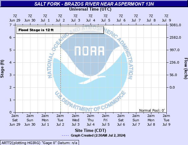
Salt Fork - Brazos River near Aspermont 13N
Critical Stages
10' - Action
12' - Flood
24' - Moderate
25' - Major
Latest Observation
Updated: 2:30 PM CST 12/15/25
Status: No Flooding
Stage: 2.77 ft
Flow: 0.0061 kcfs
Forecast
Forecast not available for this location.
| Time | Stage (ft) | Flow (kcfs) |
|---|---|---|
| 2:30 PM 12/15 | 2.77 | 0.0061 |
| 2:15 PM 12/15 | 2.77 | 0.0061 |
| 2:00 PM 12/15 | 2.77 | 0.0061 |
| 1:45 PM 12/15 | 2.77 | 0.0061 |
| 1:30 PM 12/15 | 2.76 | 0.006 |
| 1:15 PM 12/15 | 2.73 | 0.0055 |
| 1:00 PM 12/15 | 2.78 | 0.0063 |
| 12:45 PM 12/15 | 2.76 | 0.006 |
| 12:30 PM 12/15 | 2.73 | 0.0055 |
| 12:15 PM 12/15 | 2.76 | 0.006 |
| 12:00 PM 12/15 | 2.72 | 0.0054 |
| 11:45 AM 12/15 | 2.77 | 0.0061 |
| 11:30 AM 12/15 | 2.77 | 0.0061 |
| 11:15 AM 12/15 | 2.77 | 0.0061 |
| 11:00 AM 12/15 | 2.76 | 0.006 |
| 10:45 AM 12/15 | 2.78 | 0.0063 |
| 10:30 AM 12/15 | 2.77 | 0.0061 |
| 10:15 AM 12/15 | 2.77 | 0.0061 |
| 10:00 AM 12/15 | 2.77 | 0.0061 |
| 9:45 AM 12/15 | 2.77 | 0.0061 |
| 9:30 AM 12/15 | 2.77 | 0.0061 |
| 9:15 AM 12/15 | 2.77 | 0.0061 |
| 9:00 AM 12/15 | 2.77 | 0.0061 |
| 8:45 AM 12/15 | 2.77 | 0.0061 |
| 8:30 AM 12/15 | 2.77 | 0.0061 |
| 8:15 AM 12/15 | 2.77 | 0.0061 |
| 8:00 AM 12/15 | 2.77 | 0.0061 |
| 7:45 AM 12/15 | 2.77 | 0.0061 |
| 7:30 AM 12/15 | 2.77 | 0.0061 |
| 7:15 AM 12/15 | 2.77 | 0.0061 |
24' -
The water is 9 ft above record stage. U.S. Highway 83 floods and FM-1385 northeast of Aspermont may also flood.
21' -
The river is 6 ft above record stage. Minor flooding of farm and ranch land occurs. No known damage to permanent structures.
19' -
The river is 4 ft above record stage. Minor flooding of farm and ranch land occurs.
17' -
The river is 2 ft above record stage. Minor flooding of farm and ranch land occurs.
15' -
The river is near it's record stage. Minor flooding of ranch and farm land occurs. No known damage to permanent structures.
14' -
Moderate lowland flooding of area ranch land occurs. Cattle and equipment in the flood plain may be threatened.
12' -
Minor lowland flooding occurs in the river.
| Date | Stage (ft) |
|---|---|
| Sep 25, 1955 | 14.92 |
| Dec 1, 1913 | 14.4 |
| Nov 1, 1934 | 13.7 |
| May 24, 1954 | 12.64 |
| Aug 30, 1966 | 12.45 |
| Aug 14, 1972 | 12.11 |
| May 18, 1957 | 12.1 |
| Jun 1, 1990 | 11.59 |
| May 16, 1947 | 11.35 |
| Aug 16, 1940 | 11.05 |
| Aug 28, 1946 | 10.95 |
| Oct 19, 1960 | 10.74 |
| Oct 3, 1955 | 10.65 |
| Oct 3, 1941 | 10.44 |
| Jun 19, 1939 | 10.44 |
| May 3, 1941 | 10.39 |
| May 21, 1975 | 10.29 |
| Sep 27, 1944 | 10.22 |
| Jun 4, 1959 | 10.04 |
| Jul 13, 1945 | 9.54 |
Data provided by the National Weather Service.