« Back to Rogue National Wild And Scenic River Rivers
South Fk Coquille River at Myrtle Point
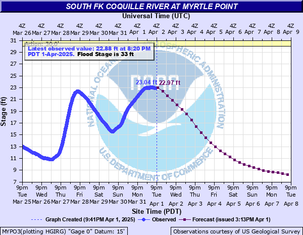
Critical Stages
30' - Action
33' - Flood
35' - Moderate
37' - Major
Latest Observation
Updated: 7:20 AM PST 12/6/25
Status: No Flooding
Stage: 4.72 ft
Flow: 0.29 kcfs
Forecast
| Time | Stage (ft) | Flow (kcfs) |
|---|---|---|
| 10 AM 12/6 | 6.25 | 0.822 |
| 4 PM 12/6 | 6.4 | 0.886 |
| 10 PM 12/6 | 6.27 | 0.831 |
| 4 AM 12/7 | 6.07 | 0.749 |
| 10 AM 12/7 | 5.89 | 0.678 |
| 4 PM 12/7 | 5.82 | 0.652 |
| 10 PM 12/7 | 5.94 | 0.698 |
| 4 AM 12/8 | 6.15 | 0.781 |
| 10 AM 12/8 | 6.35 | 0.864 |
| 4 PM 12/8 | 6.53 | 0.942 |
| 10 PM 12/8 | 6.82 | 1.07 |
| 4 AM 12/9 | 7.09 | 1.2 |
| 10 AM 12/9 | 7.37 | 1.34 |
| 4 PM 12/9 | 7.68 | 1.5 |
| 10 PM 12/9 | 7.91 | 1.62 |
| 4 AM 12/10 | 8.04 | 1.69 |
| 10 AM 12/10 | 8.09 | 1.72 |
| 4 PM 12/10 | 8.11 | 1.73 |
| 10 PM 12/10 | 8.16 | 1.75 |
| 4 AM 12/11 | 8.13 | 1.74 |
| 10 AM 12/11 | 7.93 | 1.63 |
| 4 PM 12/11 | 7.7 | 1.51 |
| 10 PM 12/11 | 7.44 | 1.37 |
| 4 AM 12/12 | 7.2 | 1.25 |
| 10 AM 12/12 | 6.99 | 1.15 |
| 4 PM 12/12 | 6.79 | 1.06 |
| 10 PM 12/12 | 6.62 | 0.982 |
| 4 AM 12/13 | 6.48 | 0.92 |
| 10 AM 12/13 | 6.36 | 0.869 |
| 4 PM 12/13 | 6.25 | 0.822 |
| 10 PM 12/13 | 6.18 | 0.794 |
| 4 AM 12/14 | 6.12 | 0.769 |
| 10 AM 12/14 | 6.1 | 0.761 |
| 4 PM 12/14 | 6.14 | 0.777 |
| 10 PM 12/14 | 6.22 | 0.81 |
| 4 AM 12/15 | 6.35 | 0.864 |
| Time | Stage (ft) | Flow (kcfs) |
|---|---|---|
| 7:20 AM 12/6 | 4.72 | 0.29 |
| 7:10 AM 12/6 | 4.71 | 0.287 |
| 7:00 AM 12/6 | 4.71 | 0.287 |
| 6:50 AM 12/6 | 4.7 | 0.284 |
| 6:40 AM 12/6 | 4.7 | 0.284 |
| 6:30 AM 12/6 | 4.69 | 0.281 |
| 6:20 AM 12/6 | 4.69 | 0.281 |
| 6:10 AM 12/6 | 4.68 | 0.279 |
| 6:00 AM 12/6 | 4.68 | 0.279 |
| 5:50 AM 12/6 | 4.67 | 0.276 |
| 5:40 AM 12/6 | 4.67 | 0.276 |
| 5:30 AM 12/6 | 4.66 | 0.273 |
| 5:20 AM 12/6 | 4.66 | 0.273 |
| 5:10 AM 12/6 | 4.65 | 0.271 |
| 5:00 AM 12/6 | 4.65 | 0.271 |
| 4:50 AM 12/6 | 4.64 | 0.268 |
| 4:40 AM 12/6 | 4.64 | 0.268 |
| 4:30 AM 12/6 | 4.64 | 0.268 |
| 4:20 AM 12/6 | 4.64 | 0.268 |
| 4:10 AM 12/6 | 4.63 | 0.265 |
| 4:00 AM 12/6 | 4.63 | 0.265 |
| 3:50 AM 12/6 | 4.62 | 0.263 |
| 3:40 AM 12/6 | 4.62 | 0.263 |
| 3:30 AM 12/6 | 4.62 | 0.263 |
| 3:20 AM 12/6 | 4.62 | 0.263 |
| 3:10 AM 12/6 | 4.61 | 0.26 |
| 3:00 AM 12/6 | 4.61 | 0.26 |
| 2:50 AM 12/6 | 4.61 | 0.26 |
| 2:40 AM 12/6 | 4.6 | 0.257 |
| 2:30 AM 12/6 | 4.6 | 0.257 |
40' -
Extensive and widespread flooding along and near the South Fork Coquille River can be expected along with damage to houses farms and roads.
37' -
Extensive road and farmland flooding upstream and downstream of Myrtle Point can be expected. Some residents of low-lying areas in the vicinity of Myrtle Point may be threatened.
35' -
Expect flooding along some sections of Highway 42 downstream from Myrtle Point and along the highway to Powers. Widespread flooding of agricultural land can be expected.
33' -
The South Fork Coquille River is at flood stage. Expect flooding of roads west of the Spruce Street Bridge and significant pasture and agricultural land flooding.
32' -
Numerous areas of farmland become flooded and water nears the roads on the west side of the Spruce Street Bridge in Myrtle Point.
30' -
Agricultural and pasture land begins to flood. Impacts on cattle grazing are possible.
| Date | Stage (ft) |
|---|---|
| Dec 22, 1964 | 46.75 |
| Nov 19, 1996 | 46.1 |
| Dec 6, 1981 | 46 |
| Dec 2, 1980 | 45.5 |
| Dec 26, 1951 | 45 |
| Jan 17, 1971 | 44.5 |
| Jan 15, 1974 | 43.8 |
| Jan 4, 1966 | 43.6 |
| Feb 18, 1983 | 43.5 |
| Dec 21, 1957 | 43.3 |
| Dec 29, 2008 | 42.8 |
| Dec 14, 2003 | 42.61 |
| Jan 12, 1959 | 42.6 |
| Dec 8, 1996 | 42.5 |
| Feb 10, 1961 | 42.2 |
| Feb 16, 1958 | 42.2 |
| Dec 16, 1982 | 41.6 |
| Dec 29, 2008 | 41.55 |
| Feb 14, 1984 | 41.5 |
| Jan 14, 2000 | 41.18 |
Data provided by the National Weather Service.