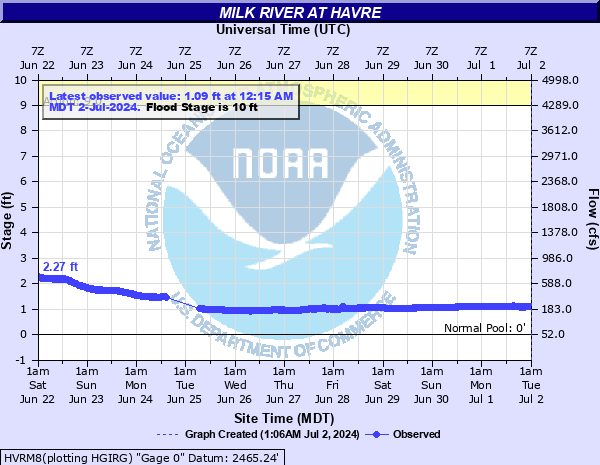
Milk River at Havre
Critical Stages
9' - Action
10' - Flood
15' - Moderate
18' - Major
Latest Observation
Updated: 2:15 PM MST 12/16/25
Status: No Flooding
Stage: 0.54 ft
Flow: 0.0998 kcfs
Forecast
Forecast not available for this location.
| Time | Stage (ft) | Flow (kcfs) |
|---|---|---|
| 2:15 PM 12/16 | 0.54 | 0.0998 |
| 2:00 PM 12/16 | 0.54 | 0.0998 |
| 1:45 PM 12/16 | 0.54 | 0.0998 |
| 1:30 PM 12/16 | 0.54 | 0.0998 |
| 1:15 PM 12/16 | 0.54 | 0.0998 |
| 1:00 PM 12/16 | 0.54 | 0.0998 |
| 12:45 PM 12/16 | 0.53 | 0.0981 |
| 12:30 PM 12/16 | 0.53 | 0.0981 |
| 12:15 PM 12/16 | 0.53 | 0.0981 |
| 12:00 PM 12/16 | 0.53 | 0.0981 |
| 11:45 AM 12/16 | 0.53 | 0.0981 |
| 11:30 AM 12/16 | 0.53 | 0.0981 |
| 11:15 AM 12/16 | 0.53 | 0.0981 |
| 11:00 AM 12/16 | 0.53 | 0.0981 |
| 10:45 AM 12/16 | 0.53 | 0.0981 |
| 10:30 AM 12/16 | 0.53 | 0.0981 |
| 9:15 AM 12/16 | 0.56 | 0.103 |
| 9:00 AM 12/16 | 0.57 | 0.105 |
| 8:45 AM 12/16 | 0.57 | 0.105 |
| 8:30 AM 12/16 | 0.58 | 0.107 |
| 8:15 AM 12/16 | 0.59 | 0.108 |
| 8:00 AM 12/16 | 0.59 | 0.108 |
| 7:45 AM 12/16 | 0.6 | 0.11 |
| 7:30 AM 12/16 | 0.61 | 0.112 |
| 7:15 AM 12/16 | 0.62 | 0.113 |
| 7:00 AM 12/16 | 0.63 | 0.115 |
| 6:45 AM 12/16 | 0.64 | 0.116 |
| 6:30 AM 12/16 | 0.66 | 0.12 |
| 6:15 AM 12/16 | 0.66 | 0.12 |
| 6:00 AM 12/16 | 0.67 | 0.121 |
18' -
Homes, farms, and railroad tracks flood.
14.1' -
April 2018 - At 14.1 Feet, flooding all around Havre. The trailer park on the northeast side floods. North Havre did not flood because of sandbagging and blocking sewer system from backfilling.
10.5' -
Agricultural land begins to flood.Land about 1 mile west of Havre floods, as water goes in culverts under the railroad. April 2018Main Street did not flood, as the levy held back the water. April 2018
10' -
Basements starting to flood on north side of Havre,Flooding did not occur in April 2018 because they closed the flood gates and storm sewers in North Havre. Flooding did occur in th mobile home park on the east side of town in April 2018.
8.5' -
River out of banks along inside turns of river. Old oxbows filled.
8' -
Starts to backflow through levee gates. Once above 8 feet,may have to start to pump back out and back into river.Notes: In April 2018, they sandbagged the leves that did not have a gate. Closed the ones with gates, and no flooding in North Havre. In April 2018, Havre reached a peak of 14.14 feet. No Flooding in the downtown area Havre. Flooding did occur in the mobile home park on the east side of town. Ag land is flooding west of town though...\:\:..
| Date | Stage (ft) |
|---|---|
| Apr 12, 1899 | 19.3 |
| Apr 3, 1952 | 18.6 |
| Mar 12, 1916 | 17.2 |
| Jun 6, 1953 | 16.54 |
| Mar 20, 1918 | 16.42 |
| Apr 14, 1965 | 15.7 |
| Mar 31, 1978 | 15.3 |
| Apr 11, 1917 | 15.3 |
| Mar 29, 1912 | 14.5 |
| Apr 19, 2018 | 14.14 |
| Mar 12, 1996 | 12.98 |
| Mar 15, 1979 | 12.77 |
| May 13, 1967 | 12.6 |
| Mar 7, 1994 | 12.04 |
| Jun 25, 1975 | 11.85 |
| Mar 10, 1966 | 11.34 |
| May 23, 1955 | 11.24 |
| Apr 22, 1920 | 11.2 |
| Apr 6, 1969 | 11 |
| Feb 14, 1971 | 10.98 |
Data provided by the National Weather Service.