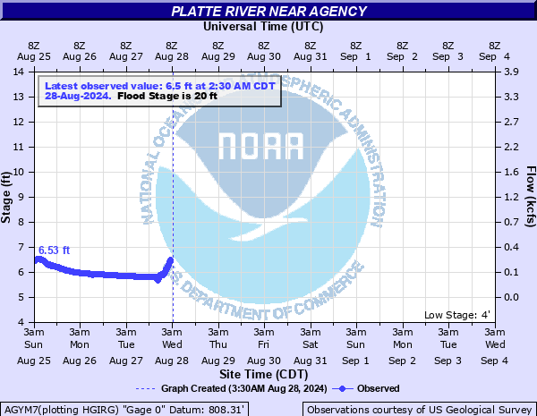
Platte River near Agency
Critical Stages
15' - Action
20' - Flood
25' - Moderate
30' - Major
Latest Observation
Updated: 9:30 PM CST 12/14/25
Status: No Flooding
Stage: 5.37 ft
Flow: 0.0732 kcfs
Forecast
Forecast not available for this location.
| Time | Stage (ft) | Flow (kcfs) |
|---|---|---|
| 9:30 PM 12/14 | 5.37 | 0.0732 |
| 9:15 PM 12/14 | 5.35 | 0.0701 |
| 9:00 PM 12/14 | 5.35 | 0.0701 |
| 8:45 PM 12/14 | 5.35 | 0.0701 |
| 8:30 PM 12/14 | 5.36 | 0.0716 |
| 8:15 PM 12/14 | 5.38 | 0.0748 |
| 8:00 PM 12/14 | 5.42 | 0.0808 |
| 7:45 PM 12/14 | 5.49 | 0.0914 |
| 7:30 PM 12/14 | 5.51 | 0.0945 |
| 7:15 PM 12/14 | 5.47 | 0.0882 |
| 7:00 PM 12/14 | 5.42 | 0.0808 |
| 6:45 PM 12/14 | 5.4 | 0.078 |
| 6:30 PM 12/14 | 5.39 | 0.0764 |
| 6:15 PM 12/14 | 5.38 | 0.0748 |
| 6:00 PM 12/14 | 5.38 | 0.0748 |
| 5:45 PM 12/14 | 5.38 | 0.0748 |
| 5:30 PM 12/14 | 5.4 | 0.078 |
| 5:15 PM 12/14 | 5.44 | 0.0837 |
| 5:00 PM 12/14 | 5.51 | 0.0945 |
| 4:45 PM 12/14 | 5.57 | 0.104 |
| 4:30 PM 12/14 | 5.49 | 0.0914 |
| 4:15 PM 12/14 | 5.42 | 0.0808 |
| 4:00 PM 12/14 | 5.4 | 0.078 |
| 3:45 PM 12/14 | 5.4 | 0.078 |
| 3:30 PM 12/14 | 5.39 | 0.0764 |
| 3:15 PM 12/14 | 5.4 | 0.078 |
| 3:00 PM 12/14 | 5.41 | 0.0794 |
| 2:45 PM 12/14 | 5.43 | 0.0823 |
| 2:30 PM 12/14 | 5.48 | 0.0898 |
| 2:15 PM 12/14 | 5.49 | 0.0914 |
35' -
Most of Agency floods.
30' -
Many farm levees along the river are overtopped and nearly all rural roads are under water.
25' -
Flooding begins at the east border of Agency.
20' -
Low-lying areas east of Agency begin to flood.
| Date | Stage (ft) |
|---|---|
| Jul 25, 1993 | 36.07 |
| Jul 20, 1965 | 35.05 |
| May 9, 2007 | 33.56 |
| May 31, 2019 | 33.25 |
| Jun 26, 2021 | 31.81 |
| Jul 1, 1915 | 31.4 |
| Jun 23, 1947 | 30.46 |
| Oct 14, 1973 | 29.45 |
| Jun 16, 2010 | 28.99 |
| Oct 10, 2018 | 28.7 |
| Jun 8, 1984 | 28.6 |
| Apr 28, 2016 | 28.59 |
| Jun 13, 2008 | 28.39 |
| Mar 15, 2019 | 28.33 |
| Apr 6, 2017 | 28.26 |
| May 19, 2015 | 28.24 |
| Apr 28, 2009 | 28.21 |
| Oct 5, 1998 | 28.2 |
| May 14, 2010 | 28.19 |
| May 14, 1995 | 28.15 |
Data provided by the National Weather Service.