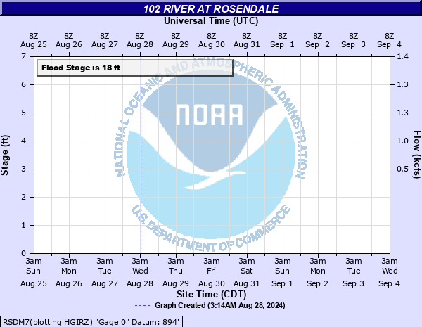
102 River at Rosendale
Critical Stages
13' - Action
18' - Flood
18.11' - Moderate
23' - Major
Latest Observation
Updated: 6:09 PM LMT 12/31/00
Status: Obs Not Current
Stage: -999 ft
Flow: -999 kcfs
Forecast
Forecast not available for this location.
Observation history not available.
24' -
Eighty percent of the homes and businesses in Rosendale are flooded.
23' -
Homes and businesses in Rosendale are threatened by flood waters.
20' -
State Route 48 is flooded on the east and west sides of town which prevents travel in or out of town.
19' -
State Route 48 on the east and west sides of Rosendale is under water.
18' -
State Route 48 on the east side of Rosendale is overtopped by flood waters.
13' -
Lowland agricultural flooding begins.
| Date | Stage (ft) |
|---|---|
| May 30, 2019 | 24.19 |
| Jul 25, 1993 | 23.81 |
| May 7, 2007 | 23.5 |
| Jul 20, 1965 | 23 |
| Jun 13, 2015 | 22.6 |
| Jul 17, 2015 | 22.56 |
| Jun 15, 2010 | 22.4 |
| Mar 14, 2019 | 22.17 |
| Jun 7, 2008 | 22.1 |
| Mar 12, 2010 | 22 |
| Sep 11, 2014 | 22 |
| Oct 10, 2018 | 21.8 |
| Apr 18, 2013 | 21.8 |
| Apr 28, 2009 | 21.76 |
| Jul 30, 2015 | 21.7 |
| Jun 6, 2010 | 21.68 |
| Jul 1, 1915 | 21.6 |
| Jun 29, 2017 | 21.47 |
| Jun 4, 2014 | 21.3 |
| Apr 28, 2016 | 21.27 |
Data provided by the National Weather Service.