East Fork White River at Sparksville
Critical Stages
17' - Action
20' - Flood
27' - Moderate
32' - Major
Latest Observation
Updated: 7:03 PM LMT 12/31/00
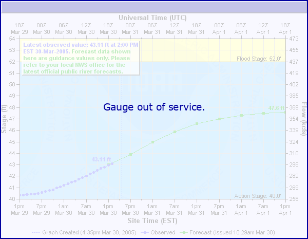
Status: Out Of Service
Stage: -999 ft
Flow: -999 kcfs
Forecast
Forecast not available for this location.
Observation history not available.
32' -
Major flooding in progress as river approaches the highest level since March 1913. Numerous roads flooded and some residences.
28' -
Jackson County approach to new Sparksville Bridge floods. West Spangler Hill Road in Washington County west of Fairview flooded during March 2008. Coming west from West Henry Brown Road...permanent sign at top of the hill says that Spangler Hill Road is impassable during high water. Road must flood fairly frequently when extensive flooding is in progress along the East Fork White River.
26.5' -
Washington County approach to new Sparksville Bridge begins to flood. At this point barricade gate is closed and traffic can not pass over the bridge.
24.7' -
Sparksville Pike south of CSX railroad in southwest Jackson County is flooded between Sparksville and Medora.
24.5' -
Jackson County Road from Sparksville to Medora begins to flood near the Old Sparksville Bridge.
24.3' -
Jackson County Road between Sparksville and Medora is at least three quarters free of water.
23' -
May 2008...Washington County Bridge Road (Lawrence County side) White River Road (Washington County side) remaims flooded on both sides of the East Fork White River by 1 or more feet of water. Bridge appears to be dry. Agricultural flooding receding on both sides of the river. Lowland flooding quite noticeable on Washington County side of the Sparksville Bridge and upstream along Sparksville Pike in Jackson County.
21.7' -
Agricultural flooding begins on the Jackson County side of new Sparksville Bridge.
20.3' -
Agricultural flooding begins on the Washington County side of new Sparksville Bridge.
20' -
Washington County boundary road south of Fort Ritner begins to flood.
17.5' -
Much standing water and some flooding of very low fields. Local tile and ditches at least one third full or more in some areas.
9' -
River is at normal level of 8 to 11 feet.
7.9' -
A sandbar is building underneath the river gage. This is the lowest level that the river gage can read. This is subject to change.
| Date | Stage (ft) |
|---|---|
| Mar 28, 1913 | 41.72 |
| Jan 17, 2005 | 35 |
| Jun 9, 2008 | 32 |
| Mar 15, 2006 | 32 |
| Mar 21, 2008 | 31.5 |
| Aug 8, 2009 | 29.5 |
| Jan 17, 2007 | 28.73 |
| Feb 9, 2008 | 27.4 |
| Dec 5, 2006 | 27.17 |
Data provided by the National Weather Service.